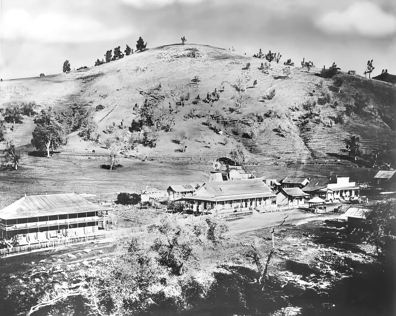
Coarsegold’s history is
mostly unwritten
The public archives hold only 2 old photos of Coarsegold. The rest are in attics, shoeboxes and the historical society. Help start the collection.
The story so far
from Wikipedia & the U.S. CensusCoarsegold, California, is a census-designated place in Madera County, situated in the central part of the state. As of the 2020 census, it had a population of 4,144. Coarsegold holds historical significance as Madera County's last surviving "gold town" and is notable for its Native American heritage, particularly as the headquarters of the Picayune Rancheria of Chukchansi Indians, a federally recognized tribe. The community celebrates its frontier culture with annual events such as the Coarsegold Rodeo and the Tarantula Awareness Festival. Positioned between Fresno and Yosemite National Park, the town appeals to both retirees and commuters, thanks to its strategic location along Highway 41.
Between the 2010 and 2020 censuses its population grew from 1,840 to 4,144 (+125%). Half of its homes were built before 1992.
Wikipedia doesn’t have a history of Coarsegold yet — the old photos, dates and memories neighbors add here are how it gets written.
Intro from Wikipedia, licensed CC BY-SA 4.0. Population and housing: U.S. Census Bureau.
Timeline
built from the dates on the items belowStart Coarsegold’s collection
The first neighbors to add old photos shape how Coarsegold’s history is told.
1 of 10 decades since 1900 have photos 🔁Retake an old viewCoarsegold-1890, 1880: stand where they stood+15 📦Share a family photoSign in to add one+10Famous people from Coarsegold
See all 1 →
Coarsegold, decade by decade
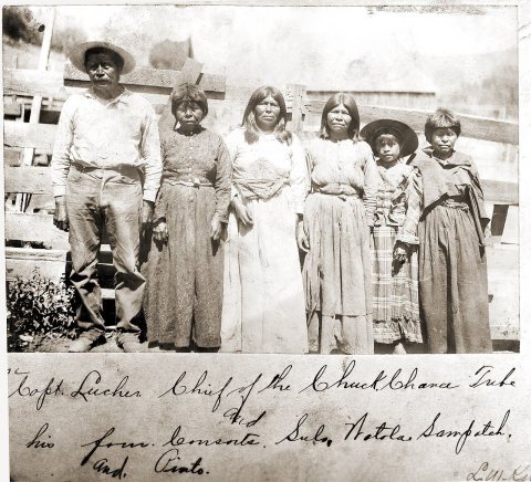
1990s
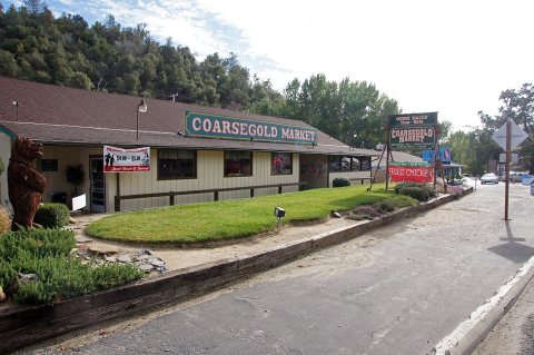
Then & now
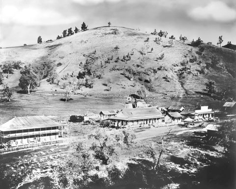
No then-and-now pairs yet. Take a photo from the same spot as Coarsegold-1890 (1880) and it appears here side by side.
🔁 Retake this view · +15Stories next door
nearby towns’ historyFrom Wikimedia Commons (5). Images are copied here with their credits and licenses, shown on each photo’s page. Refreshed monthly.