

A history of Coalinga,
then and now
Postcards, papers and photographs of Coalinga from public archives, woven together by decade. Neighbors fill in the gaps.
The story
from WikipediaRead it all ↗Legendary bandit Joaquin Murrieta was killed in 1853 at his headquarters, Arroyo de Cantua, north of Coalinga. California Historical Landmark #344 marks the approximate site of where he was slain, near the junction of present-day State Route 33 and Route 198.
Text from Wikipedia, licensed CC BY-SA 4.0.
Timeline
built from the dates on the items belowFinish Coalinga’s story
Most archives stop around 1920. The photos from after that are in family albums, not libraries.
3 of 10 decades since 1900 have photos 🔁Retake an old viewColinga [sic], California, 1909: stand where they stood+15 📦Share a family photoSign in to add one+10Famous people from Coalinga
See all 17 →

Coalinga, decade by decade
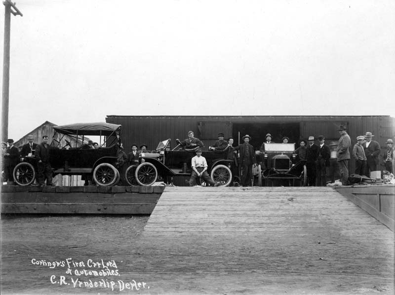
![Colinga [sic] oil field](https://images.towntapestry.org/story/1400/24a0f3d3f530c21e7dad-s.jpg)
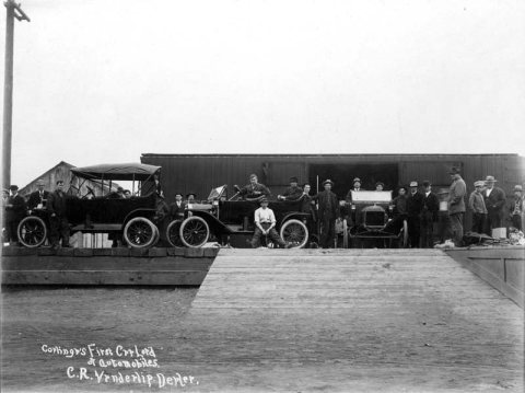
1960s
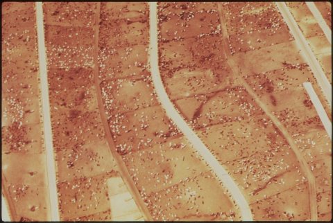
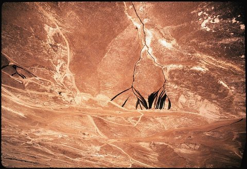
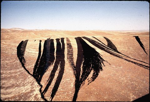
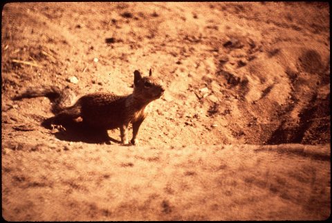
1990s
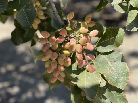 CommonsPistachios in Coalinga - September 2023 - Sarah Stierch 032023
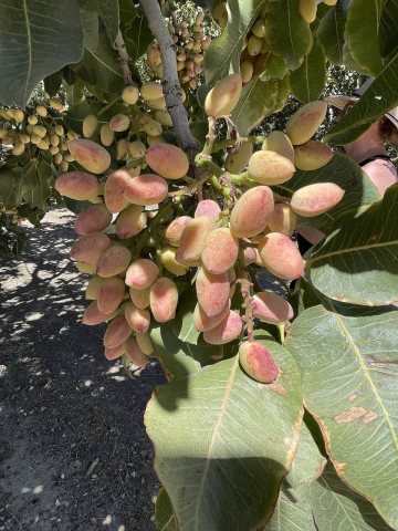 CommonsPistachios in Coalinga - September 2023 - Sarah Stierch 022023
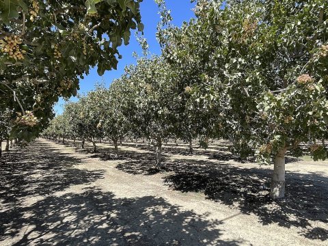 CommonsPistachios in Coalinga - September 2023 - Sarah Stierch 012023
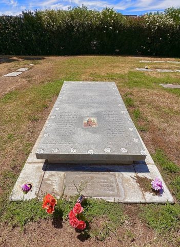 CommonsLos Gatos Canyon Plane Crash Victims Burial Site2023
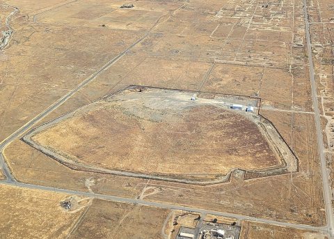 CommonsBrightsource Energy solar plant aerial view, 20232023
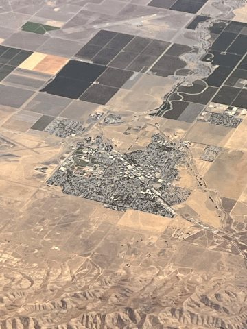 CommonsAerial view of Coalinga (California) in July 20222022
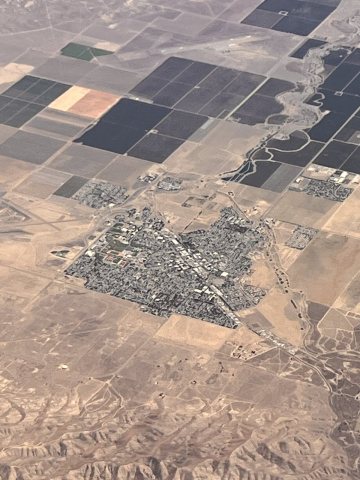 CommonsAerial view of Coalinga (California) in July 2022 (2)2022
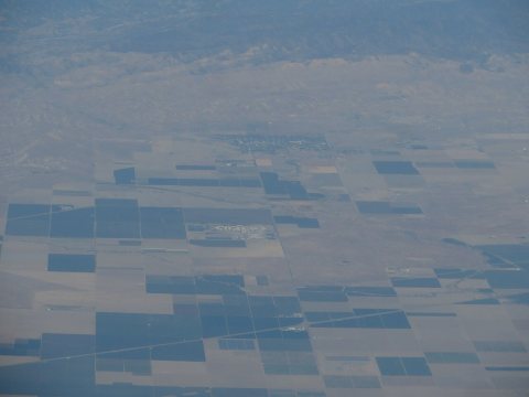 CommonsCoalinga, California2015
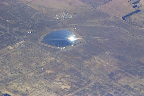 CommonsCoalinga, California2014
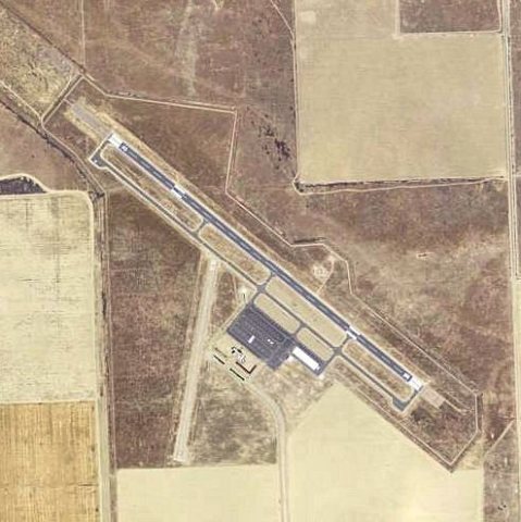 CommonsNew Coalinga Municipal Airport - California2006
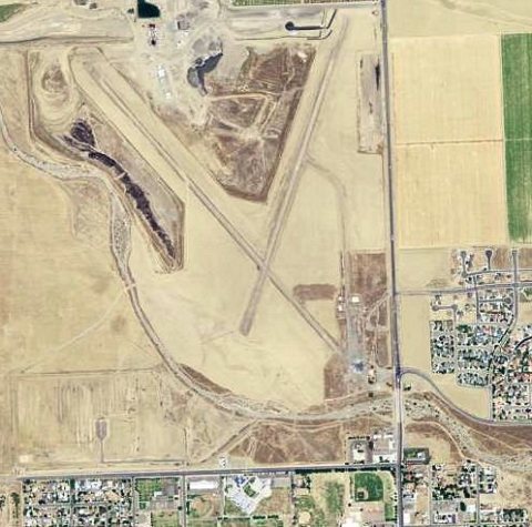 CommonsCoalinga Municipal Airport (Old) - California2006
1 historic place in Coalinga
1 place in Coalinga is on the National Register of Historic Places, the country’s official list of buildings and places worth saving.
Where they are
When they were listed
Then & now

No then-and-now pairs yet. Take a photo from the same spot as Colinga [sic], California (1909) and it appears here side by side.
🔁 Retake this view · +15Stories next door
nearby towns’ historyFrom Wikimedia Commons (16) and the Library of Congress (2). Images are copied here with their credits and licenses, shown on each photo’s page. Refreshed monthly.