The story
from WikipediaRead it all ↗In the early 1800s, the area was known as Rancho San Gorgonio, an outpost for the San Gabriel Mission. A large portion of the area was a Spanish Land Grant made to a man by the name of Paulino Weaver. In 1853, Weaver sold some of his land to Dr. Isaac William Smith, who was struck by the land's natural beauty while looking for stray cattle. Dr. Smith purchased a 1,000 acres for $1,000 from Weaver and established Smith Ranch and Highland Springs Ranch & Inn. The original Smith residence stood near where the swimming pool is today. In 1862, Smith's ranch was dubbed "Smith Station" and was made a stagecoach stop. In 1865, a young Wyatt Earp drove the route from San Bernardino to La Paz, Arizona on which Smith Station was a popular stop.
Text from Wikipedia, licensed CC BY-SA 4.0.
Start Cherry Valley’s collection
The first neighbors to add old photos shape how Cherry Valley’s history is told.
0 of 10 decades since 1900 have photos 📦Share a family photoSign in to add one+10Famous people from Cherry Valley
See all 1 →
Cherry Valley, decade by decade
2000
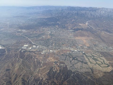 Commons2025-08-08 23 18 57 UTC View of western Banning, northern B…2025
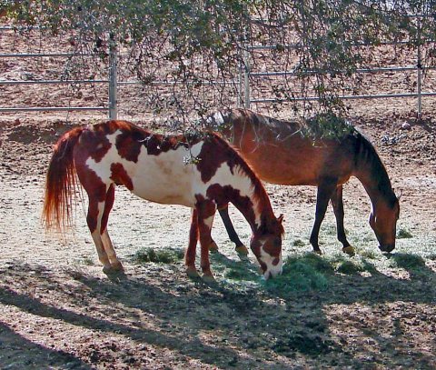 CommonsShady Grazin', Cherry Valley, CA 3-132015
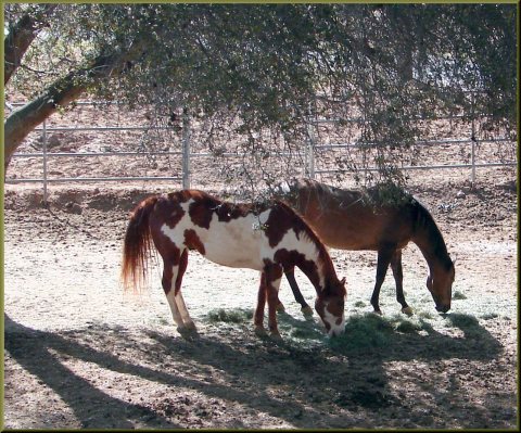 CommonsShade Horses, Cherry Valley 3-23-13a2013
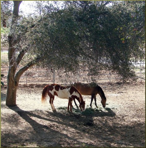 CommonsShade Horses, Cherry Valley 3-23-132013
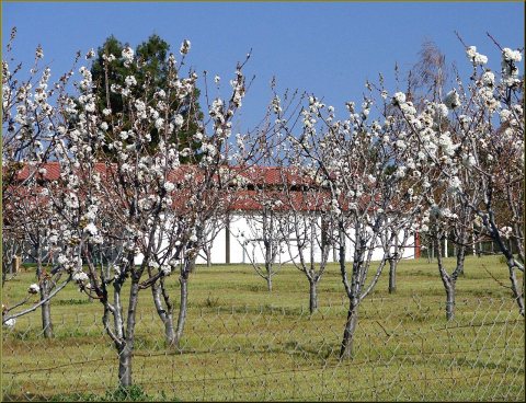 CommonsCherry Trees, Cherry Valley 3-23-132013
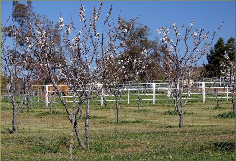 CommonsCherry Trees and Horsers, Cherry Valley 3-23-132013
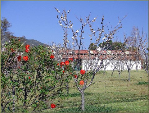 CommonsCherry Trees and Barn, Cherry Valley 3-23-132013
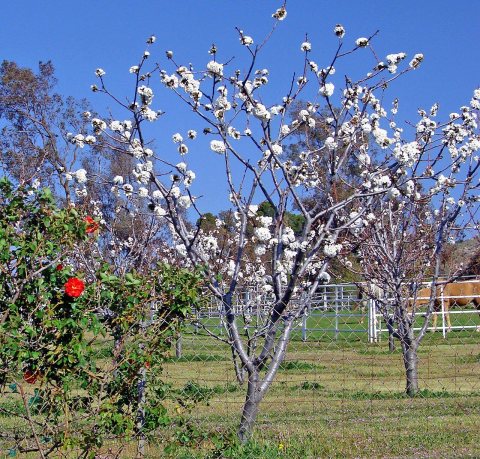 CommonsCherry Tree, Cherry Valley, CA 3-132013
Then & now
When neighbors add old photos, retakes from the same spot appear here side by side.
Stories next door
nearby towns’ historyFrom Wikimedia Commons (8). Images are copied here with their credits and licenses, shown on each photo’s page. Refreshed monthly.