Castroville’s history is
mostly unwritten
The public archives hold only 2 old photos of Castroville. The rest are in attics, shoeboxes and the historical society. Help start the collection.
The story
from WikipediaRead it all ↗Rancho Bolsa Nueva y Moro Cojo was a 30,901-acre (125.05 km2) Mexican land grant given in 1844 by Governor Manuel Micheltorena to Maria Antonia Pico de Castro, Juan Bautista Castro's mother. Rancho Bolsa Nueva y Moro Cojo is a combination of three land grants: Rancho Bolsa Nueva y Moro Cojo, given in 1844 by Governor Micheltorena to María Antonia Pico de Castro; Rancho Bolsa del Potrero y Moro Cojo, in 1822 by Governor Pablo Vicente de Solá to Joaquín de la Torre.; and the land between the other two, granted by Governor Juan Alvarado to Simeon Castro (Juan Bautista Castro's father) in 1837.
Text from Wikipedia, licensed CC BY-SA 4.0.
Timeline
built from the dates on the items belowStart Castroville’s collection
The first neighbors to add old photos shape how Castroville’s history is told.
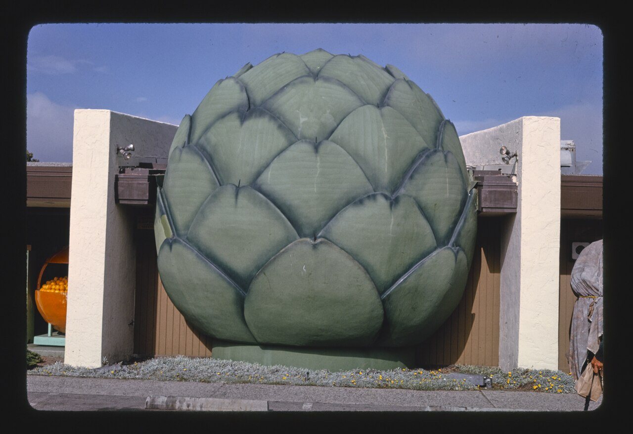
1 of 10 decades since 1900 have photos 🔁Retake an old viewGiant artichoke, 1991: stand where they stood+15 📦Share a family photoSign in to add one+10Castroville, decade by decade

1 historic place in Castroville
1 place in Castroville is on the National Register of Historic Places, the country’s official list of buildings and places worth saving.
Where they are
When they were listed
Then & now
When neighbors add old photos, retakes from the same spot appear here side by side.
Stories next door
nearby towns’ historyFrom Wikimedia Commons (6). Images are copied here with their credits and licenses, shown on each photo’s page. Refreshed monthly.