Campo Seco’s history is
mostly unwritten
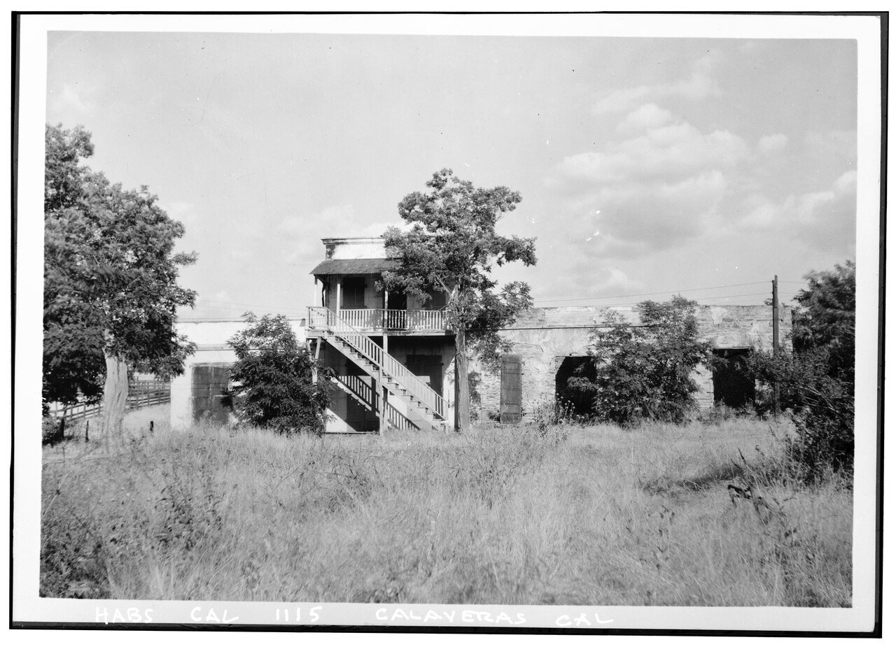
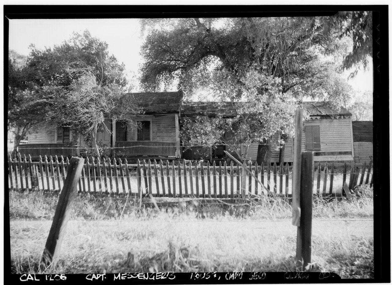
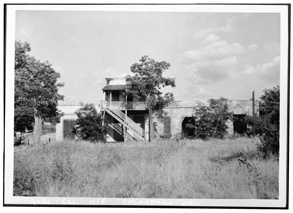
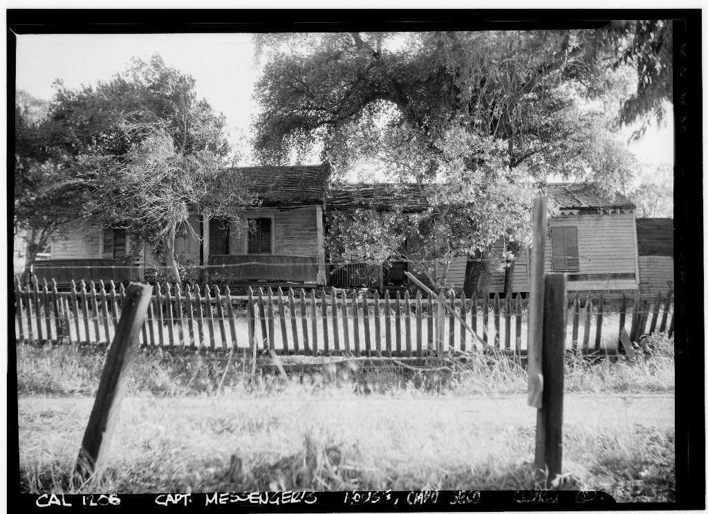
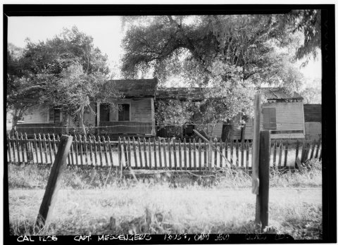
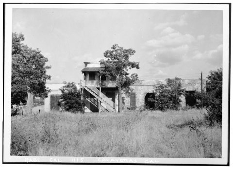
The public archives hold only 4 old photos of Campo Seco. The rest are in attics, shoeboxes and the historical society. Help start the collection.
The story so far
from Wikipedia & the U.S. CensusCampo Seco (Spanish for "Dry Field") is an unincorporated community and census designated place (CDP) in Calaveras County, California, United States. It sits at an elevation of 564 feet (172 m) above sea level and is located at 38°13′38″N 120°51′12″W. The community is served by ZIP code 95226 and area code 209. Founded by Mexicans in 1849, the mining camp was quite cosmopolitan, with forty different nationalities of miners. The town was almost destroyed by a fire in 1854, but as the placers were still producing, much of the town was rebuilt. Most of the buildings that are still standing date from after the fire. The town also contains the largest living cork oak tree in California, which wa…
Wikipedia doesn’t have a history of Campo Seco yet — the old photos, dates and memories neighbors add here are how it gets written.
Intro from Wikipedia, licensed CC BY-SA 4.0. Population and housing: U.S. Census Bureau.
Start Campo Seco’s collection
The first neighbors to add old photos shape how Campo Seco’s history is told.
0 of 10 decades since 1900 have photos 🗓️Date a photo4 archive items have no date+2 🔁Retake an old viewHistoric American Buildings Surve…: stand where they stood+15 📦Share a family photoSign in to add one+10Campo Seco, decade by decade
2000
Nothing in Campo Seco is on the National Register yet
That’s true of most small towns. It doesn’t mean Campo Seco has no history, only that no one has written up a nomination. The closest listed place is John J. Synder House in San Andreas, 9.5 miles away.
Campo Seco and the nearest listed places


How a place gets listed
Then & now
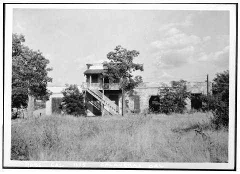
No then-and-now pairs yet. Take a photo from the same spot as Historic American Buildings Survey Wm. H. Knowles, Photographer May 30, 1936 VIEW FROM WEST - Robert Eperson Building, … and it appears here side by side.
🔁 Retake this view · +15Stories next door
nearby towns’ historyFrom Wikimedia Commons (2) and the Library of Congress (2). Images are copied here with their credits and licenses, shown on each photo’s page. Refreshed monthly.