The story
from WikipediaRead it all ↗Prior to the founding of the neighborhood of Campbell, the land was occupied by the Ohlone, the Native American people of the Northern California coast.
About a third of present-day Campbell was part of the 1839 Alta California Rancho Rinconada de Los Gatos land grant. The northern extent of the grant land was along present-day Rincon Avenue, and across the north end of John D. Morgan Park in central Campbell.
Text from Wikipedia, licensed CC BY-SA 4.0.
Start Campbell’s collection
The first neighbors to add old photos shape how Campbell’s history is told.
0 of 10 decades since 1900 have photos 📦Share a family photoSign in to add one+10Famous people from Campbell
See all 7 →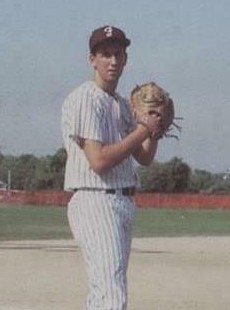
Campbell, decade by decade
2000
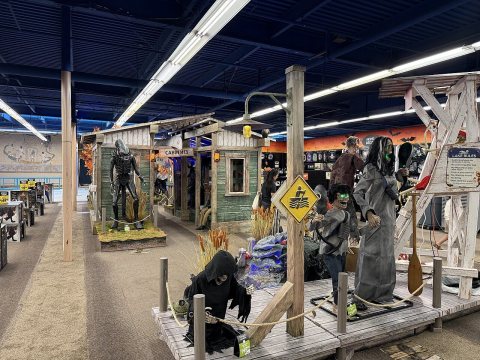 CommonsSpirit Halloween 2026-08-07 72026
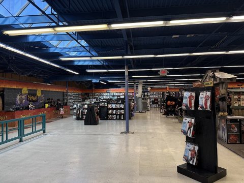 CommonsSpirit Halloween 2026-08-07 62026
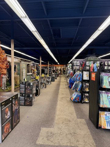 CommonsSpirit Halloween 2026-08-07 52026
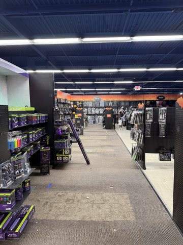 CommonsSpirit Halloween 2026-08-07 42026
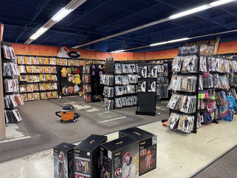 CommonsSpirit Halloween 2026-08-07 32026
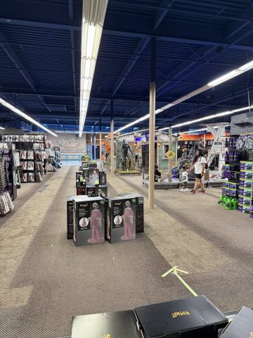 CommonsSpirit Halloween 2026-08-07 22026
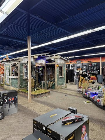 CommonsSpirit Halloween 2026-08-07 12026
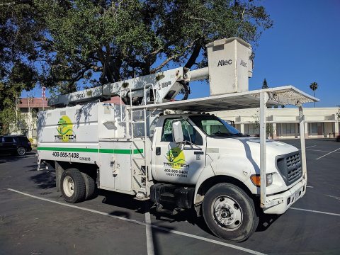 CommonsF-750 truck modified for tree trimming2017
Then & now
When neighbors add old photos, retakes from the same spot appear here side by side.
Historic places
National Register · via Wikidata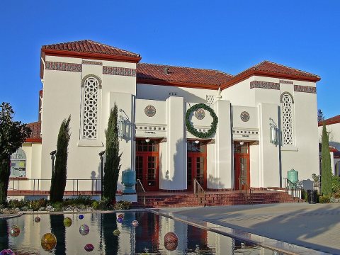
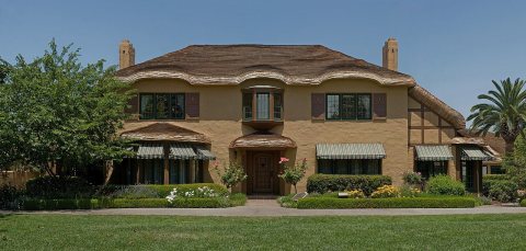
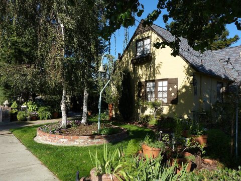
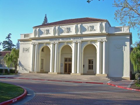
From Wikimedia Commons (8) and the National Register (4). Images are copied here with their credits and licenses, shown on each photo’s page. Refreshed monthly.