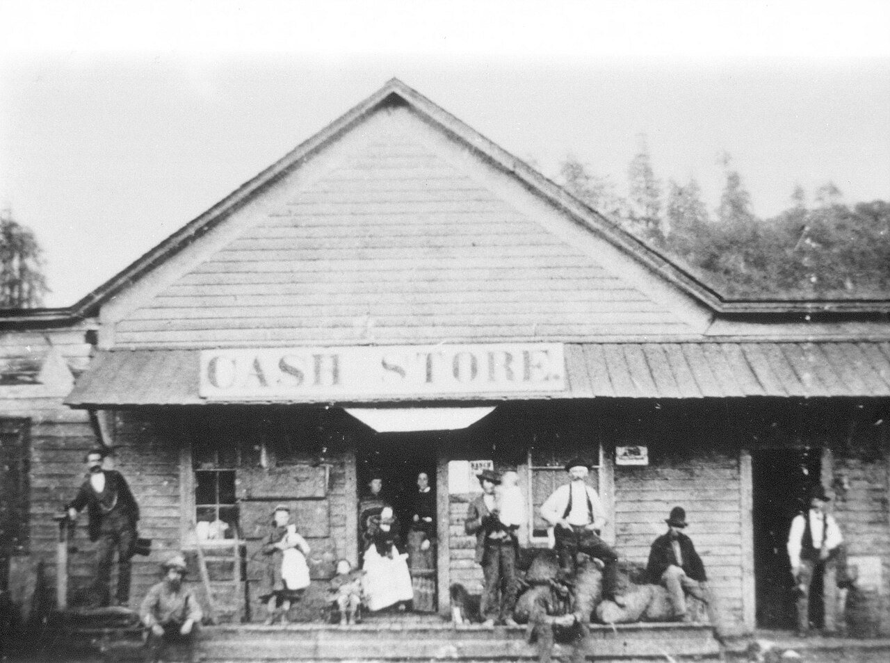
Bloomfield’s story is
mostly unwritten
The public archives hold just one old photo of Bloomfield. The rest are in attics, shoeboxes and the historical society. Help start the collection.
The story
from WikipediaRead it all ↗Bloomfield is located on part of Rancho Cañada de Pogolimi. In 1853, William Zellhardt built a house on the site of present-day Bloomfield, which attracted other immigrants and led to plans for a town in 1856. At one point in the late 1850s, Bloomfield was the second largest town in Sonoma County, and in 1877 it had four hotels and a population of 250. However, the town never recovered from being bypassed by the railroads, and its growth tapered off.
Text from Wikipedia, licensed CC BY-SA 4.0.
Start Bloomfield’s collection
The first neighbors to add old photos shape how Bloomfield’s history is told.
0 of 10 decades since 1900 have photos 🔁Retake an old viewBloomfield, California (circa 187…, c. 1870: stand where they stood+15 📦Share a family photoSign in to add one+10Bloomfield, decade by decade
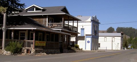
Then & now
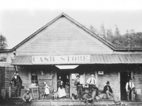
No then-and-now pairs yet. Take a photo from the same spot as Bloomfield, California (circa 1870) (c. 1870) and it appears here side by side.
🔁 Retake this view · +15Stories next door
nearby towns’ historyFrom Wikimedia Commons (2). Images are copied here with their credits and licenses, shown on each photo’s page. Refreshed monthly.