Atherton’s history is
mostly unwritten
The public archives hold only 3 old photos of Atherton. The rest are in attics, shoeboxes and the historical society. Help start the collection.
The story
from WikipediaRead it all ↗The entire area was originally part of the Rancho de las Pulgas. During the 1860s, Atherton was known as Fair Oaks. In 1923, Menlo Park wanted to incorporate its lands to include Fair Oaks, but the Fair Oaks property owners chose to incorporate separately. The name Fair Oaks was already in use, so the property owners decided to rename the town in honor of Faxon Dean Atherton, a former 19th century landowner on the south peninsula.
Text from Wikipedia, licensed CC BY-SA 4.0.
Start Atherton’s collection
The first neighbors to add old photos shape how Atherton’s history is told.
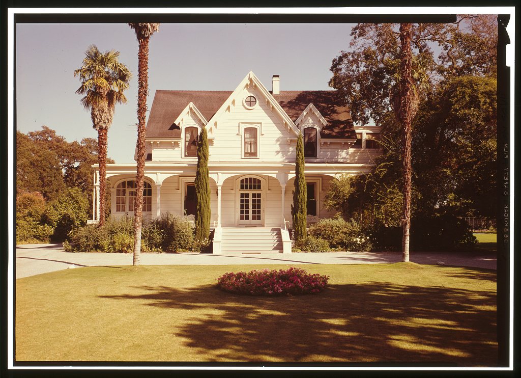
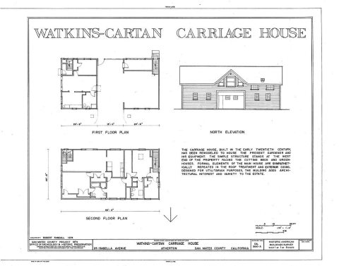
0 of 10 decades since 1900 have photos 🗓️Date a photo3 archive items have no date+2 🔁Retake an old viewWatkins-Cartan House, 25 Isabella…: stand where they stood+15 📦Share a family photoSign in to add one+10Famous people from Atherton
See all 2 →

Atherton, decade by decade
2000
unknown3 items
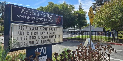
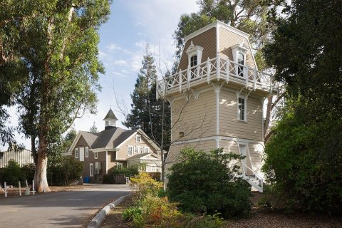
Then & now
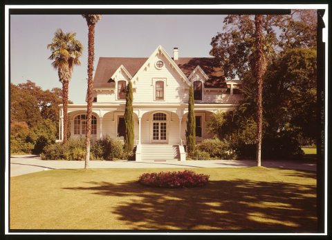
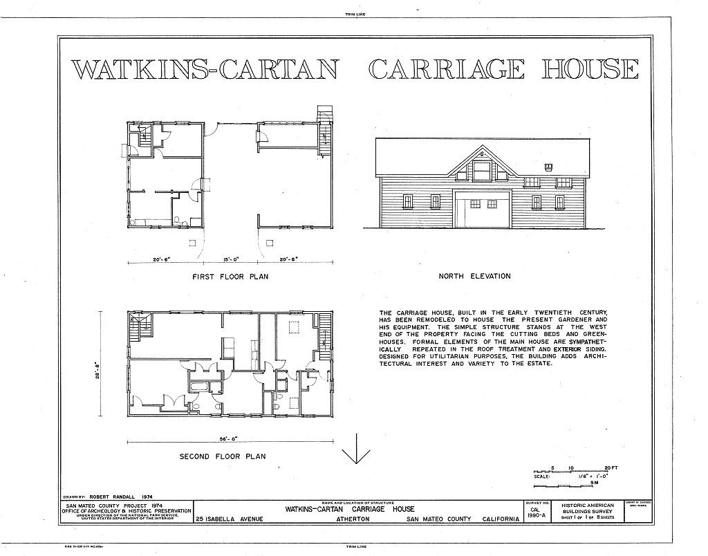
No then-and-now pairs yet. Take a photo from the same spot as Watkins-Cartan House, 25 Isabella Avenue and it appears here side by side.
🔁 Retake this view · +15Historic places
National Register · via Wikidata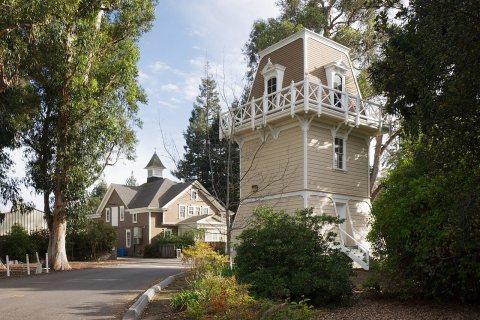
From Wikimedia Commons (4), the Library of Congress (3) and the National Register (1). Images are copied here with their credits and licenses, shown on each photo’s page. Refreshed monthly.