The story
from WikipediaRead it all ↗Alamo was first inhabited by the Tatcan Indians over 5000 years ago. The Tatcan Indians, a Bay Miwok tribe closely connected to the Saclans of Walnut Creek, lived in Alamo in the eighteenth century.
After Mission San José was founded in 1797, its grazing area stretched throughout the San Ramon Valley. The Mexican land grant Rancho San Ramon was deeded to Mariano Castro and his uncle Bartolo Pacheco in 1833. It covered modern-day Danville and Alamo. Castro owned the northern half, which included Alamo.
Text from Wikipedia, licensed CC BY-SA 4.0.
Start Alamo’s collection
The first neighbors to add old photos shape how Alamo’s history is told.
0 of 10 decades since 1900 have photos 📦Share a family photoSign in to add one+10Famous people from Alamo
See all 5 →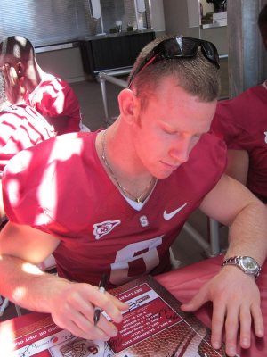
Alamo, decade by decade
2000
Then & now
When neighbors add old photos, retakes from the same spot appear here side by side.
Stories next door
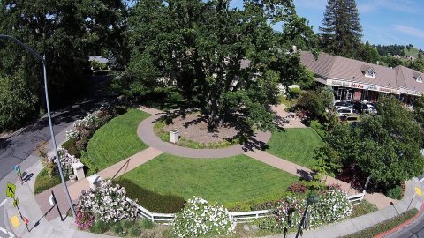
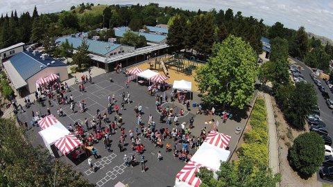
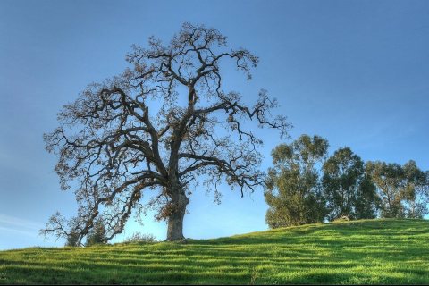
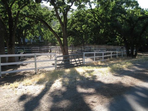
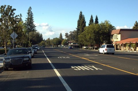
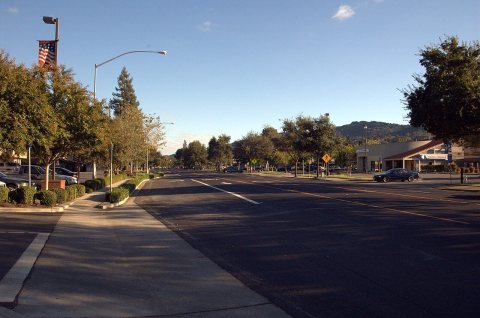
nearby towns’ historyFrom Wikimedia Commons (6). Images are copied here with their credits and licenses, shown on each photo’s page. Refreshed monthly.