Alameda’s history is
mostly unwritten
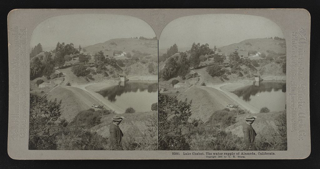
The public archives hold only 2 old photos of Alameda. The rest are in attics, shoeboxes and the historical society. Help start the collection.
The story
from WikipediaRead it all ↗Alameda originally occupied a peninsula connected to Oakland. The area was low-lying and marshy, while higher ground was part of one of the largest coastal oak forests in the world. A local band of the Ohlone tribe inhabited the region for more than 3,000 years. They were present at the time of the arrival of the Spanish in the late 18th century. The Ohlone created numerous oyster shell mounds across the peninsula, some as large as 14 feet tall.
Text from Wikipedia, licensed CC BY-SA 4.0.
Timeline
built from the dates on the items belowStart Alameda’s collection
The first neighbors to add old photos shape how Alameda’s history is told.
2 of 10 decades since 1900 have photos 🔁Retake an old viewLake Chabot. The water supply of …, 1905: stand where they stood+15 📦Share a family photoSign in to add one+10Alameda, decade by decade

1990s
Then & now
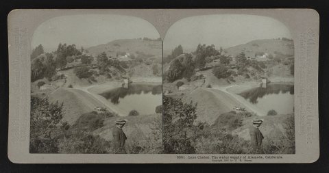
No then-and-now pairs yet. Take a photo from the same spot as Lake Chabot. The water supply of Alameda, California (1905) and it appears here side by side.
🔁 Retake this view · +15Historic places
National Register · via Wikidata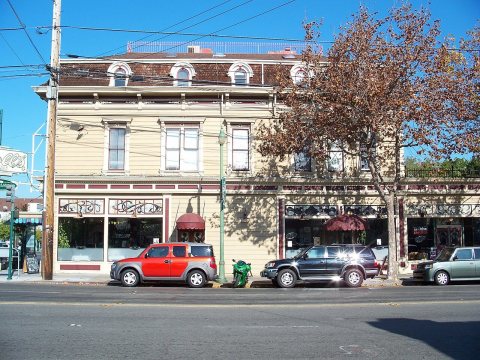
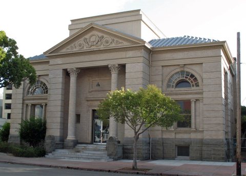
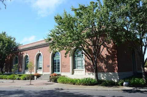
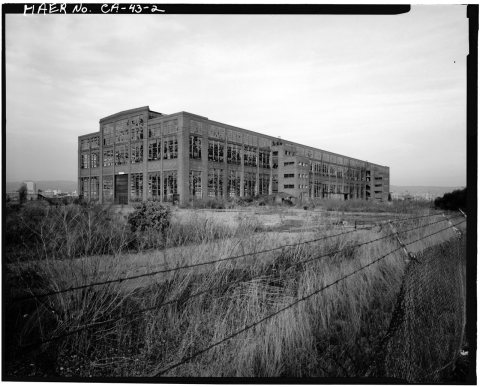
From Wikimedia Commons (1), the Library of Congress (1) and the National Register (4). Images are copied here with their credits and licenses, shown on each photo’s page. Refreshed monthly.