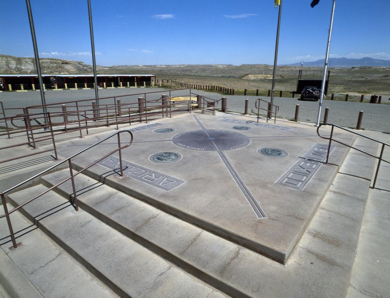
Teec Nos Pos’s history is
mostly unwritten
The public archives hold just one old photo of Teec Nos Pos. The rest are in attics, shoeboxes and the historical society. Help start the collection.
The story
from WikipediaRead it all ↗The community of Teec Nos Pos (Navajo: "Circle of cottonwood trees") was originally located several miles to the south of its present location, and was known as Tisnasbas, and so named officially by the U.S. Geological Survey in 1915.
The population has since moved north to the junction of U.S. Highways 160 and 64. In the 1930s, the Indian Irrigation Service constructed two concrete diversion dams on nearby T'iisnazbas Creek. The dams irrigated approximately 400 acres (1.6 km2) of Navajo farmland. It was renamed Teec Nos Pas in 1960 and Teec Nos Pos in 1983.
Text from Wikipedia, licensed CC BY-SA 4.0.
Timeline
built from the dates on the items belowStart Teec Nos Pos’s collection
The first neighbors to add old photos shape how Teec Nos Pos’s history is told.
1 of 10 decades since 1900 have photos 🔁Retake an old viewFour Corners Monument, marking th…, 1980: stand where they stood+15 📦Share a family photoSign in to add one+10Teec Nos Pos, decade by decade
1990s
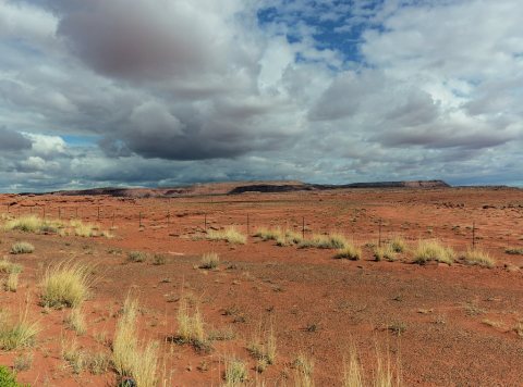
Nothing in Teec Nos Pos is on the National Register yet
That’s true of most small towns. It doesn’t mean Teec Nos Pos has no history, only that no one has written up a nomination. The closest listed place is San Juan River Bridge at Shiprock in Shiprock, 23.1 miles away.
Teec Nos Pos and the nearest listed places
Closest to Teec Nos Pos

How a place gets listed
Then & now
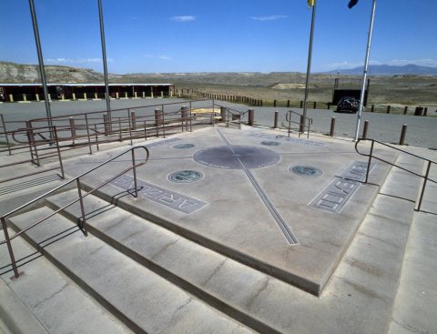
No then-and-now pairs yet. Take a photo from the same spot as Four Corners Monument, marking the only spot in the United States where four states (Arizona, Utah, Colorado, and New M… (1980) and it appears here side by side.
🔁 Retake this view · +15Stories next door
nearby towns’ historyFrom Wikimedia Commons (4) and the Library of Congress (2). Images are copied here with their credits and licenses, shown on each photo’s page. Refreshed monthly.