The story
from WikipediaRead it all ↗Quartzsite's current location was the site of a waterhole from 1863 to the 1880s and was later a stage station, called Tyson's Wells, along the La Paz - Wikenburg Road on Tyson Wash, in what was then Yuma County, in the newly created Arizona Territory. It was about 20 miles from the Colorado River steamboat landing of La Paz and 25 miles from the landing of Ehrenberg from 1866. The next stop was 25 miles to the east at Desert Station.
Tyson's Wells in 1875 was described by Martha Summerhayes, in her book Vanished Arizona:
Text from Wikipedia, licensed CC BY-SA 4.0.
Start Quartzsite’s collection
The first neighbors to add old photos shape how Quartzsite’s history is told.
0 of 10 decades since 1900 have photos 📦Share a family photoSign in to add one+10Quartzsite, decade by decade
2000
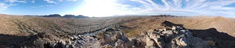
Then & now
When neighbors add old photos, retakes from the same spot appear here side by side.
Historic places
National Register · via Wikidata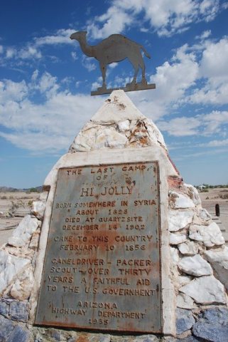
From Wikimedia Commons (5) and the National Register (1). Images are copied here with their credits and licenses, shown on each photo’s page. Refreshed monthly.