A history of Ganado,
then and now
Postcards, papers and photographs of Ganado from public archives, woven together by decade. Neighbors fill in the gaps.
The story
from WikipediaRead it all ↗The earliest peoples in the region are believed to have been nomadic hunters in search of big game roaming throughout the Four Corners region. The next wave of inhabitants are believed to have been smaller hunter-gatherer communities of similar nomadic characteristic. It is believed that archaic forms of agriculture came to the Little Colorado River basin around 1800 BCE.
Text from Wikipedia, licensed CC BY-SA 4.0.
Timeline
built from the dates on the items belowFinish Ganado’s story
Most archives stop around 1920. The photos from after that are in family albums, not libraries.
1 of 10 decades since 1900 have photos 🔁Retake an old viewIrrigating a field, Ganada, Arizo…, 1905: stand where they stood+15 📦Share a family photoSign in to add one+10Famous people from Ganado
See all 15 →
Ganado, decade by decade
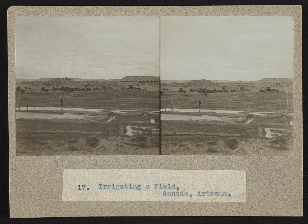
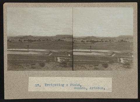 LOCIrrigating a field, Ganada, Arizona1905
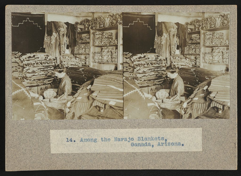
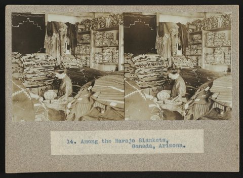 LOCAmong the Navajo blankets, Ganada, Arizona1905
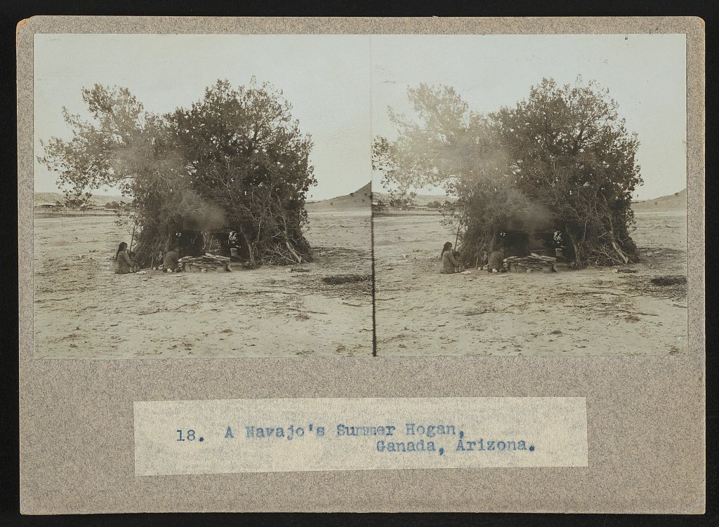
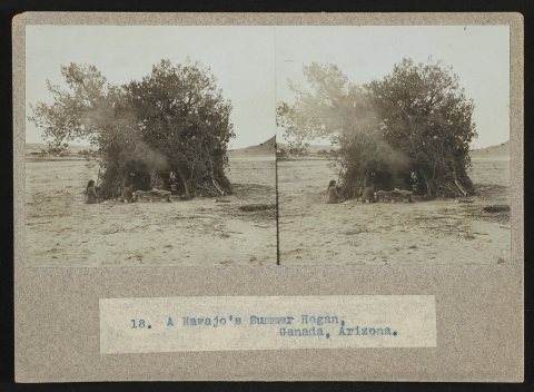 LOCA Navajo's summer hogan, Ganada, Arizona1905
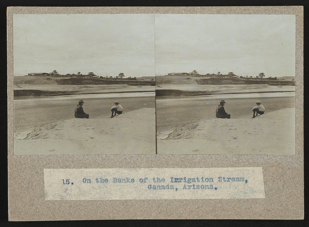
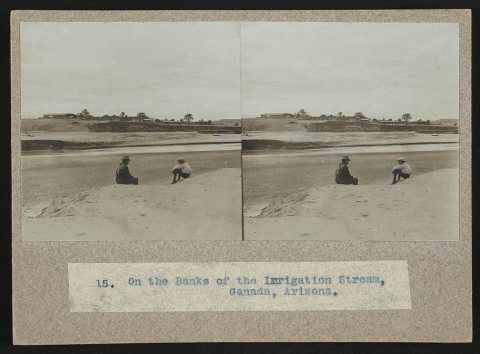 LOCOn the banks of the irrigation stream, Ganada, Arizona1905
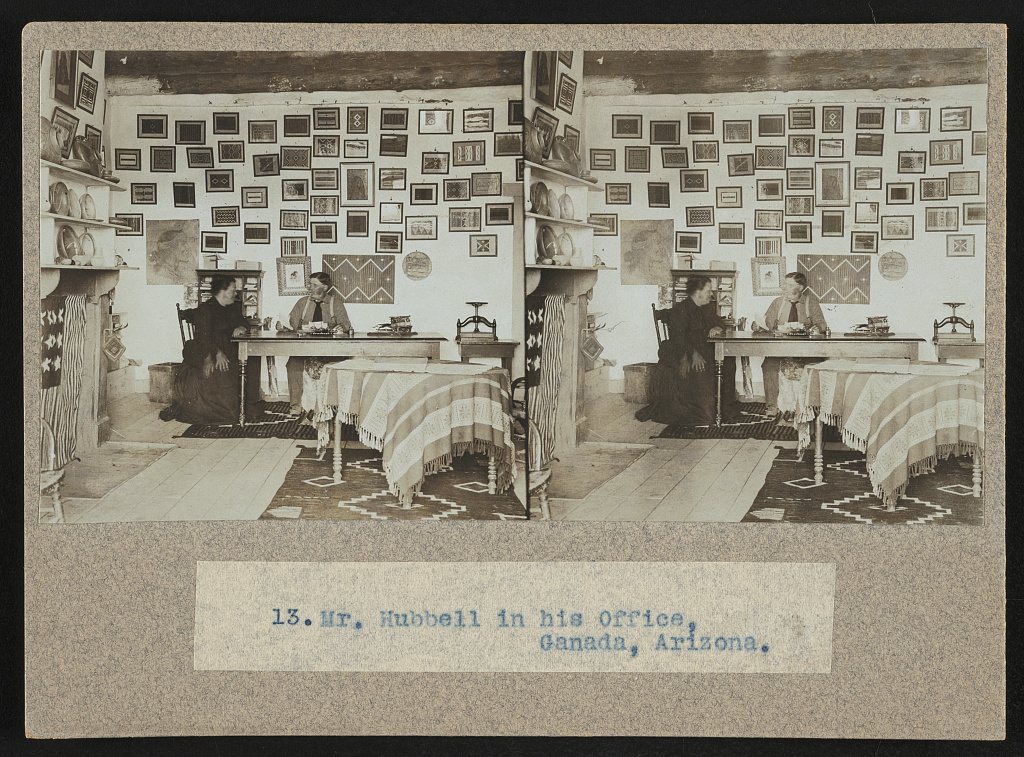
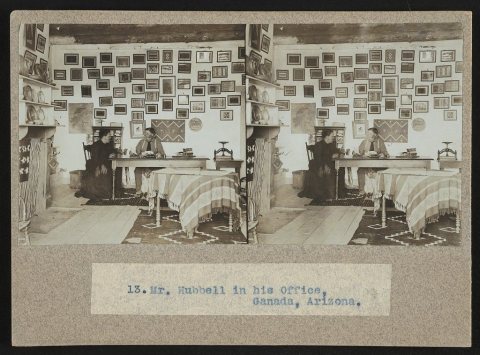 LOCMr. Hubbell in his office, Ganada, Arizona1905
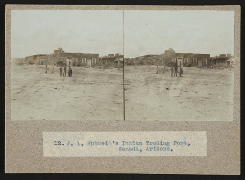 LOCJ.L. Hubbell's Indian Trading Post, Ganada, Arizona1905
1990s
2 historic places in Ganado
Ganado has 2 listings on the National Register, and they protect 63 historic buildings, because Sage Memorial Hospital School of Nursing, Ganado Mission alone counts 52. 2 are National Historic Landmarks, the highest tier, which fewer than 3% of listings reach.
Where they are
When they were listed
 LandmarkListed 1966Hubbell Trading Post National Historic Site LandmarkListed 2009Sage Memorial Hospital School of Nursing, Ganado Mission
Then & now
No then-and-now pairs yet. Take a photo from the same spot as Irrigating a field, Ganada, Arizona (1905) and it appears here side by side.
🔁 Retake this view · +15Stories next door
nearby towns’ historyFrom the Library of Congress (6). Images are copied here with their credits and licenses, shown on each photo’s page. Refreshed monthly.