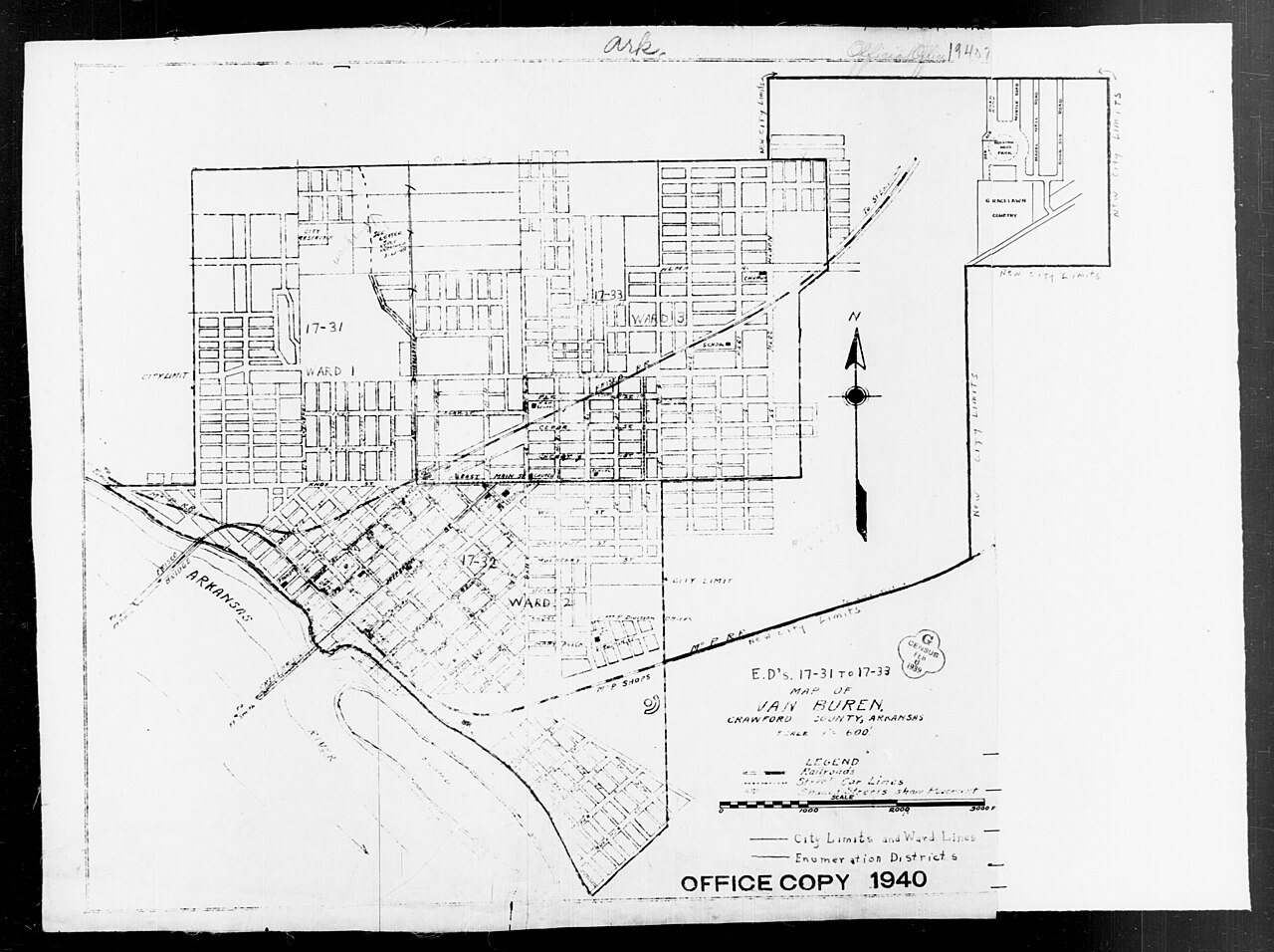
Van Buren’s history is
mostly unwritten
The public archives hold only 2 old photos of Van Buren. The rest are in attics, shoeboxes and the historical society. Help start the collection.
The story
from WikipediaRead it all ↗The area was settled by David Boyd and Thomas Martin in 1818. After Arkansas became a territory in 1819, Daniel and Thomas Phillips constructed a lumber yard in the community to serve as a fuel depot for traffic along the Arkansas River. In 1831, a post office was constructed for the community, at the time known as Phillips Landing. This post office was named after newly appointed Secretary of State and future President Martin Van Buren.
Text from Wikipedia, licensed CC BY-SA 4.0.
Timeline
built from the dates on the items belowStart Van Buren’s collection
The first neighbors to add old photos shape how Van Buren’s history is told.
0 of 10 decades since 1900 have photos 🔁Retake an old view1940 Census Enumeration District …, 1880: stand where they stood+15 📦Share a family photoSign in to add one+10Van Buren, decade by decade
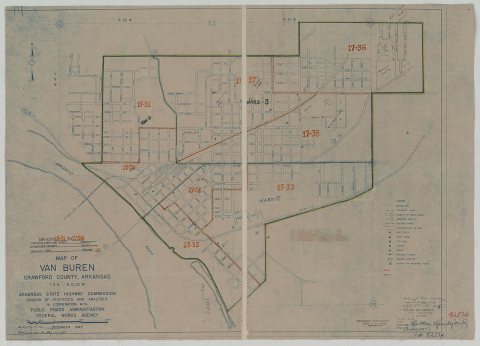
1990s
Then & now
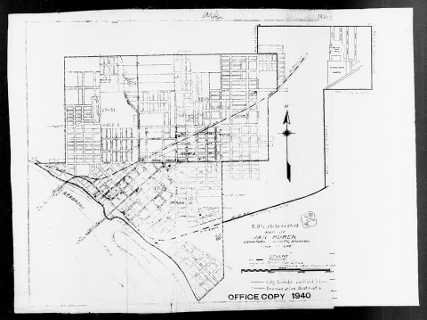
No then-and-now pairs yet. Take a photo from the same spot as 1940 Census Enumeration District Maps - Arkansas - Crawford County - Van Buren - ED 17-31, ED 17-32, ED 17-33 (1880) and it appears here side by side.
🔁 Retake this view · +15Historic places
National Register · via Wikidata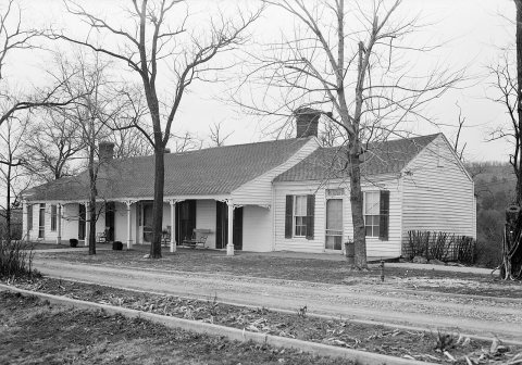
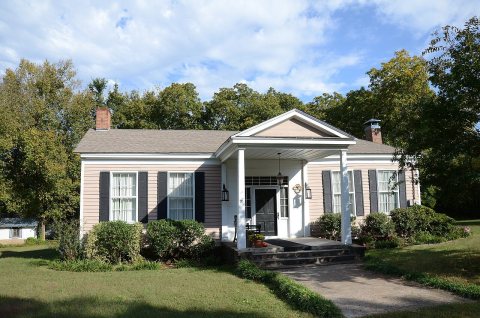
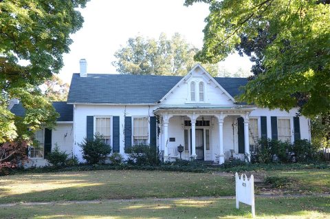
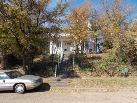
From Wikimedia Commons (2) and the National Register (4). Images are copied here with their credits and licenses, shown on each photo’s page. Refreshed monthly.