A history of Texarkana,
then and now
Postcards, papers and photographs of Texarkana from public archives, woven together by decade. Neighbors fill in the gaps.
The story
from WikipediaRead it all ↗Miller County was formed in 1820 in the Arkansas Territory; it was named in honor of James Miller, Arkansas' first territorial governor and a general during the War of 1812. Much of its eastern border is formed by the Red River. At the time, there was considerable uncertainty among Americans as to the location of the boundary between the county (and the United States) and national territory of Mexico, which then included Texas.
Consequently, settlers believed that Arkansas levied and collected taxes on land that eventually might be held by Mexico. Moreover, many who resented what they considered Mexican oppression of European-American Texans were openly declaring allegiance to the Texans.
Text from Wikipedia, licensed CC BY-SA 4.0.
Timeline
built from the dates on the items belowFinish Texarkana’s story
Most archives stop around 1920. The photos from after that are in family albums, not libraries.
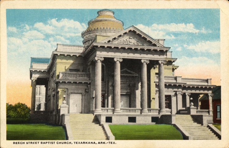
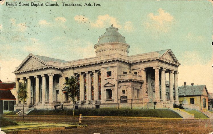
5 of 10 decades since 1900 have photos 🔁Retake an old viewBeech Street Baptist Church, Texa…, 1909: stand where they stood+15 📦Share a family photoSign in to add one+10Famous people from Texarkana
See all 49 →


Texarkana, decade by decade
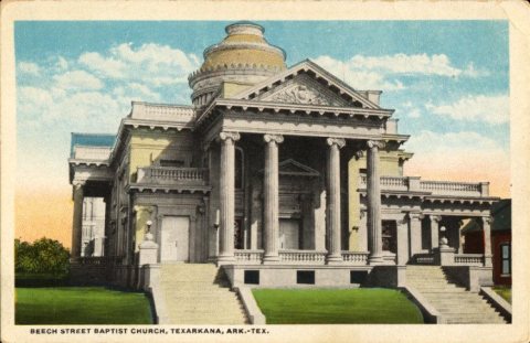
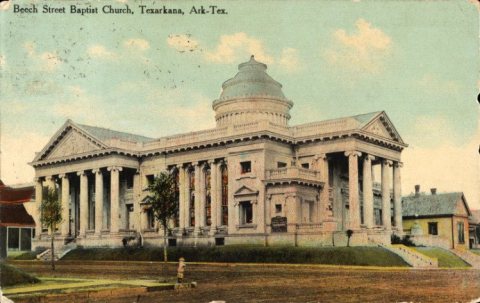
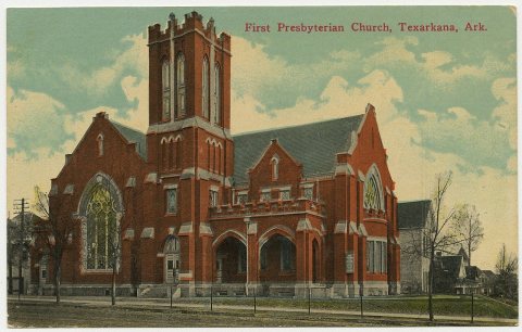
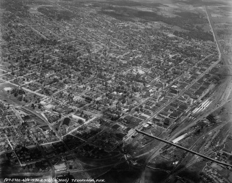
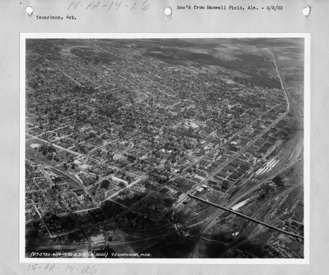
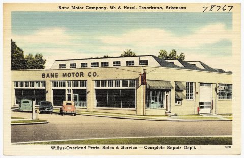
1990s
28 historic places in Texarkana
Texarkana has 28 listings on the National Register, and they protect 95 historic buildings, because Beech Street Historic District alone counts 58.
Where they are
When they were listed
 Listed 1976Orr School
 Listed 1976Dean House
 Listed 1978Texarkana Union Station
 Listed 1980Alvah Horace Whitmarsh House
 Listed 1982Garrison, Augustus M. House
 Listed 1982Bottoms House
 Listed 1982Kittrell House
 Listed 1990Canaan Baptist Church
 Listed 1990Ritchie Grocery Building
 Listed 1994Charles J. Neif House
 Listed 1998Miller County Courthouse
 Listed 1999J.K. Wadley House
 Listed 2000Texarkana US Post Office and Courthouse
 Listed 2000John Clifton House
 Listed 2004Texarkana, Arkansas, Municipal Building
 Listed 2004Buhrman-Pharr Hardware Company Historic District
 Listed 2005Patrick J. Ahern House
 Listed 2007Mullins Court
 Listed 2007Beech Street Brick Street
 Listed 2008Adams, Wallace, Service Station
 Listed 2008Cotton Belt Railroad Office Building
 Listed 2008East Broad Street Historic District
 Listed 2008Hopkins Feed and Seed Store
 Listed 2008Swift Building
 Listed 2010Beech Street Historic DistrictListed 2022Nix Creek BridgeListed 2023Williams-Arnold-Staley HouseListed 2025Porter-McClure Paint Company Store
Then & now
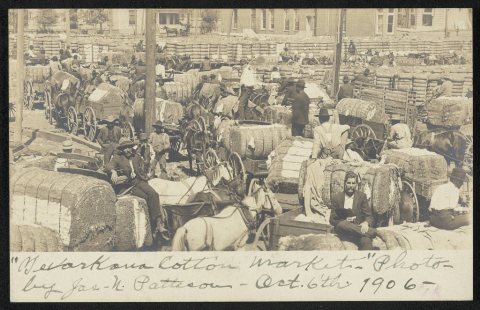
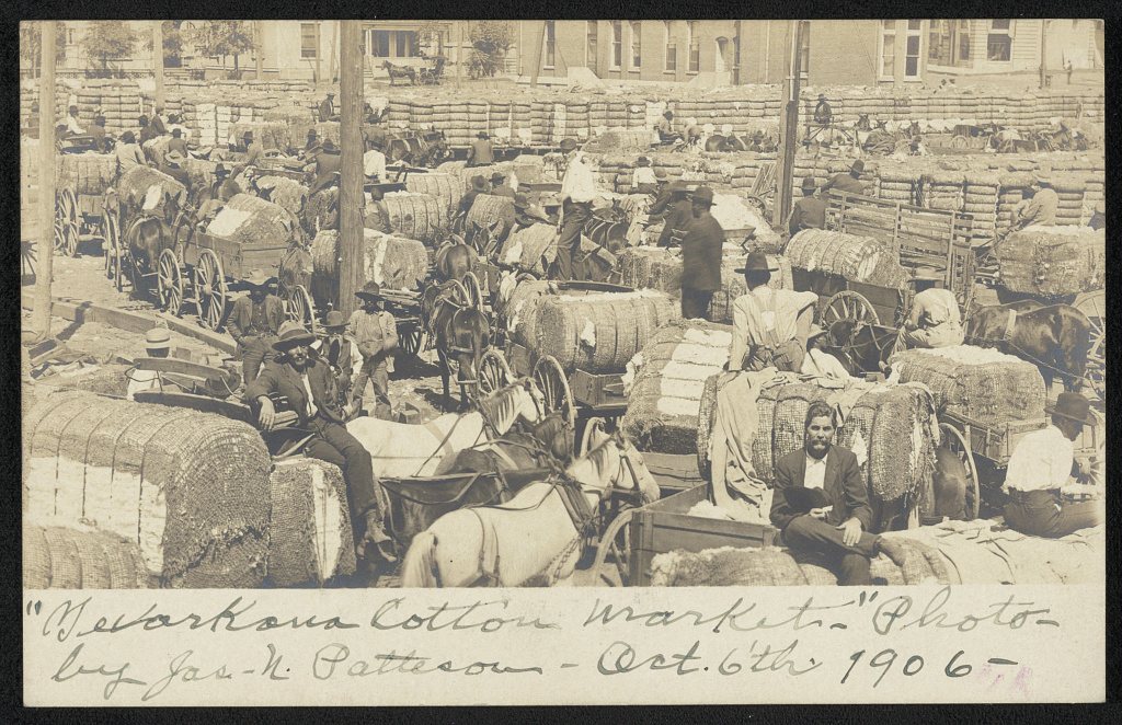
No then-and-now pairs yet. Take a photo from the same spot as Texarkana cotton market (1906) and it appears here side by side.
🔁 Retake this view · +15Stories next door
nearby towns’ historyFrom Wikimedia Commons (7), the Library of Congress (1) and the National Register (4). Images are copied here with their credits and licenses, shown on each photo’s page. Refreshed monthly.