The story
from WikipediaRead it all ↗The St. Francis area was settled in the 1840s, with the early residents forming the Chalk Bluff community just northwest of the present city. The Battle of Chalk Bluff was fought here in May 1863, during the Civil War. In 1882, the St. Louis Southwestern Railway ("Cotton Belt") was constructed through the area, and the Chalk Bluff community gradually shifted southeastward to a location along the railroad tracks. This new community was named "St. Francis" after the adjacent river (the river itself was named after Francis of Assisi).
Text from Wikipedia, licensed CC BY-SA 4.0.
Start St. Francis’s collection
The first neighbors to add old photos shape how St. Francis’s history is told.
0 of 10 decades since 1900 have photos 📦Share a family photoSign in to add one+10Famous people from St. Francis
See all 1 →
St. Francis, decade by decade
2000
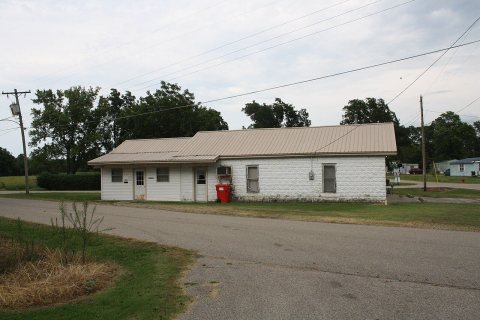 CommonsSt. Francis, AR City Hall2026
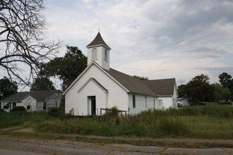 CommonsFormer Methodist Church in2026
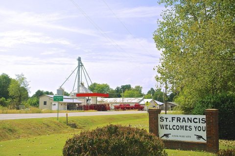 CommonsSt-Francis-welcome-sign-ar2017
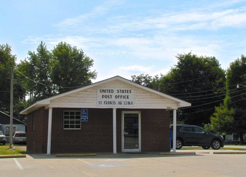 CommonsSt-Francis-post-office-ar2017
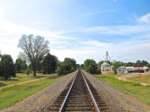 CommonsSt-Francis-RR-tracks-west-ar2017
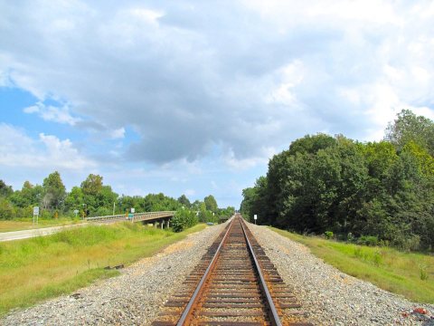 CommonsSt-Francis-RR-tracks-east-ar2017
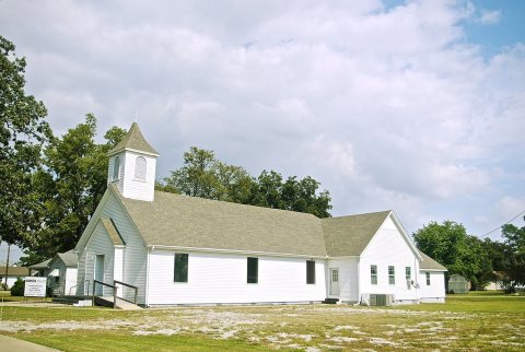 CommonsSt-Francis-Oasis-Church-ar2017
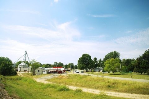 CommonsSt-Francis-Hwy-62-ar2017
 CommonsSt-Francis-FD-ar2017
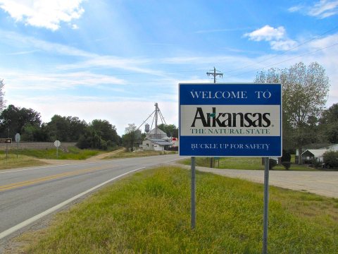 CommonsSt-Francis-Arkansas-welcome-sign-ar2017
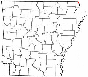 CommonsARMap-doton-St. Francis2005
Then & now
When neighbors add old photos, retakes from the same spot appear here side by side.
Stories next door
nearby towns’ historyFrom Wikimedia Commons (11). Images are copied here with their credits and licenses, shown on each photo’s page. Refreshed monthly.