The story
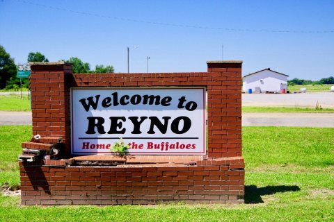
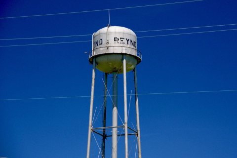
from WikipediaRead it all ↗The town was originally called Needmore, and was located one and one-half miles south of its present location. This name was changed to Cherokee Bay when the post office operating by that name moved there from its location at Shoemaker's Ferry on Current River. The name was changed again, this time to Reyno, a shortened version of Reynolds, named for Dennis Wells Reynolds, a merchant who opened the town's first store and built the first home there in 1857. In 1901, the town relocated to its present site to be adjacent to the newly built St. Louis-San Francisco Railway there. Upon relocation, the new town adopted the name of Esselwood, but reverted to Reyno due to the majority of residents moving from the previous location.
Text from Wikipedia, licensed CC BY-SA 4.0.
Start Reyno’s collection
The first neighbors to add old photos shape how Reyno’s history is told.
0 of 10 decades since 1900 have photos 📦Share a family photoSign in to add one+10Famous people close to Reyno
See all 29 →
Reyno, decade by decade
2000
Nothing in Reyno is on the National Register yet
That’s true of most small towns. It doesn’t mean Reyno has no history, only that no one has written up a nomination. The closest listed place is US 67, Old, Biggers to Datto in Reyno, 0.9 miles away.
Reyno and the nearest listed places


How a place gets listed
Then & now
When neighbors add old photos, retakes from the same spot appear here side by side.
Stories next door
nearby towns’ historyFrom Wikimedia Commons (4). Images are copied here with their credits and licenses, shown on each photo’s page. Refreshed monthly.