History · Nimmons

Nimmons’s history is
mostly unwritten

The public archives hold no old photos of Nimmons. The rest are in attics, shoeboxes and the historical society. Help start the collection.

0old images & papers
4recent photos

The story

from WikipediaRead it all ↗

Nimmons was established as a stop along the St. Louis, Kennett and Southeastern Railroad (later part of the St. Louis–San Francisco Railway) in 1901, and was named for a railroad worker. The town was granted its own post office (since closed) in 1903, and several businesses, fueled by the timber industry, operated in the town over the next two decades. The town began to decline after timber resources in the area were exhausted.

Text from Wikipedia, licensed CC BY-SA 4.0.

Be one of the first

Start Nimmons’s collection

The first neighbors to add old photos shape how Nimmons’s history is told.

0 of 10 decades since 1900 have photos 📦Share a family photoSign in to add one+10
Famous people from NimmonsWriters, athletes, leaders and more who were born in Nimmons.Meet them →
By decade

Nimmons, decade by decade

Before
2000
No old photos in the archives yetWeddings on Main Street, storms, parades, school pictures, the old store. If it’s in your family album, it belongs here.
📷 Add from your album

Then & now

When neighbors add old photos, retakes from the same spot appear here side by side.

Stories next door

nearby towns’ history

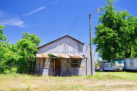
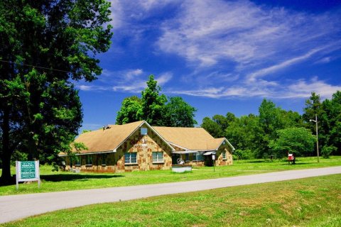
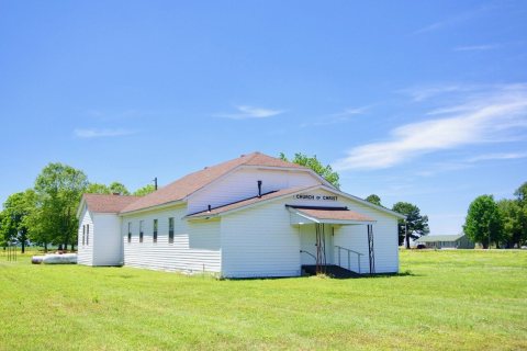
From Wikimedia Commons (4). Images are copied here with their credits and licenses, shown on each photo’s page. Refreshed monthly.

You’re browsing

Nimmons

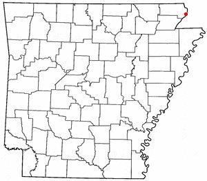
Arkansas · AR
View town boundary →
Township / city / CDP overlaps possible.
Loading boundary…

Nimmons is your selected town. The feed includes posts assigned to this town, not a distance radius or ZIP code.

Neighborhoods narrow the feed further, while townwide announcements, events, and issues remain visible.

Boundary source: https://tigerweb.geo.census.gov/arcgis/rest/services/TIGERweb/Places_CouSub_ConCity_SubMCD/MapServer/18 · 2025-01-01