The story so far
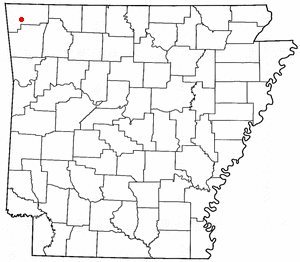
from Wikipedia & the U.S. CensusHighfill is a town in Benton County, Arkansas, United States. The population was 1,587 as of the 2020 census. It is home to the Northwest Arkansas National Airport, which serves all of the Northwest Arkansas region. In September 2023, officials of the airport voted to detach itself from the city over taxing and public service disputes.
Between the 2010 and 2020 censuses its population grew from 583 to 1,587 (+172%). Half of its homes were built before 2014.
Wikipedia doesn’t have a history of Highfill yet — the old photos, dates and memories neighbors add here are how it gets written.
Intro from Wikipedia, licensed CC BY-SA 4.0. Population and housing: U.S. Census Bureau.
Start Highfill’s collection
The first neighbors to add old photos shape how Highfill’s history is told.
0 of 10 decades since 1900 have photos 📦Share a family photoSign in to add one+10Highfill, decade by decade
2000
Then & now
When neighbors add old photos, retakes from the same spot appear here side by side.
Historic places
National Register · via Wikidata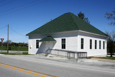
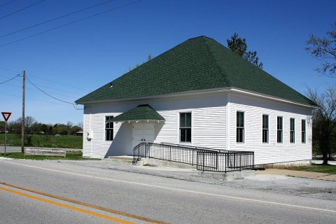
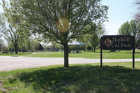
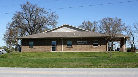
From Wikimedia Commons (4) and the National Register (1). Images are copied here with their credits and licenses, shown on each photo’s page. Refreshed monthly.