Harrison’s history is
mostly unwritten
The public archives hold only 2 old photos of Harrison. The rest are in attics, shoeboxes and the historical society. Help start the collection.
The story
from WikipediaRead it all ↗Native Americans were the earliest inhabitants of the area, probably beginning with cliff dwellers who lived in caves in the bluffs along the rivers. In later times, the Osage, a Siouan speaking people, were the main tribe in the Ozarks, and one of their larger villages is thought to have been to the east of the present site of Harrison. The Shawnee, Quapaw, and Caddo people were also familiar to the area.
The Cherokee arrived around 1816 and did not get along with the Osage. This hostility erupted into a full-scale war in the Ozark Mountains. By the 1830s, both tribes were removed to Indian Territory.
Text from Wikipedia, licensed CC BY-SA 4.0.
Timeline
built from the dates on the items belowStart Harrison’s collection
The first neighbors to add old photos shape how Harrison’s history is told.
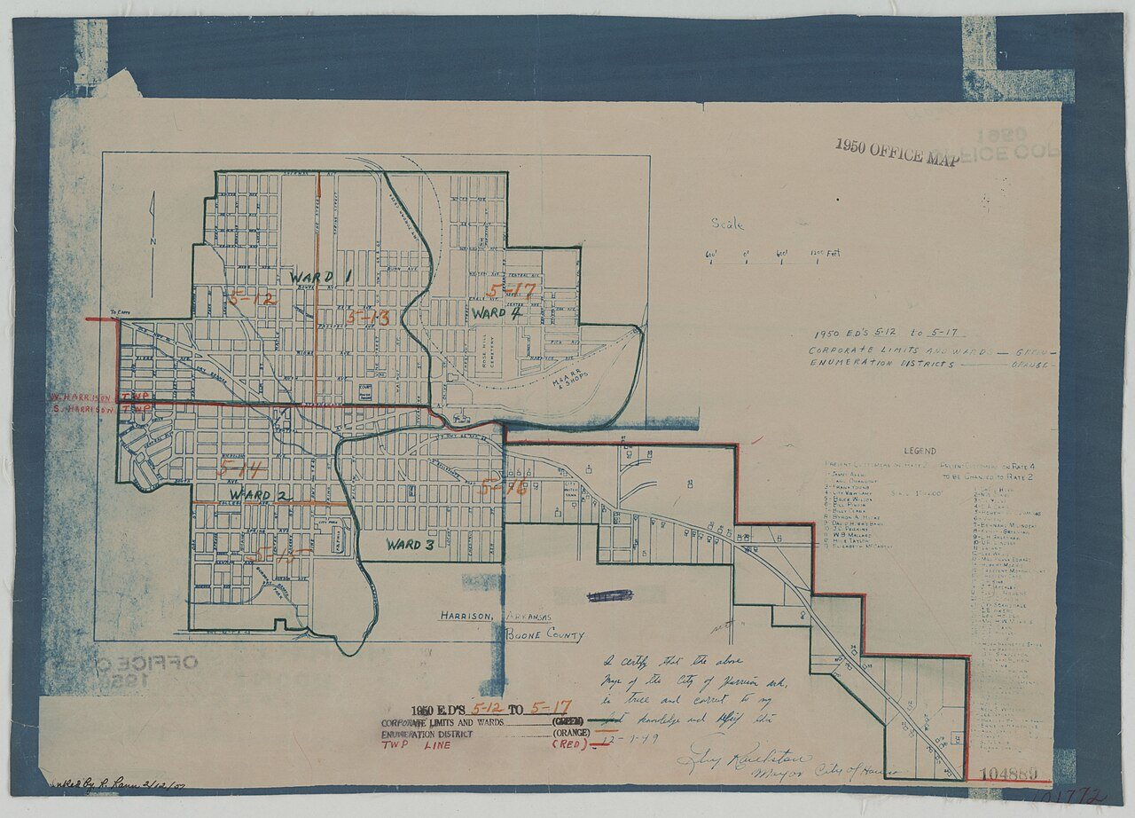
1 of 10 decades since 1900 have photos 🔁Retake an old view1950 Census Enumeration District …, 1880: stand where they stood+15 📦Share a family photoSign in to add one+10Famous people from Harrison
See all 12 →


Harrison, decade by decade
1920s
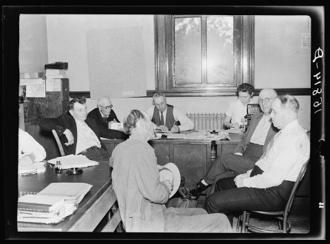
1990s
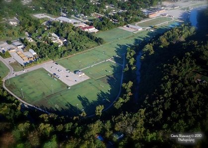 CommonsAnstaff Bank Soccer Complex Aerial View2010
 CommonsLearjet 45 at HRO Oct 20092009
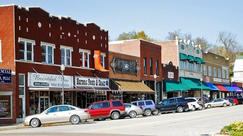 CommonsHarrison AR downtown2009
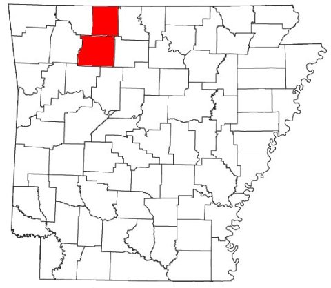 CommonsHarrison Micropolitan Area2008
 CommonsCrawdad Days Festival2008
 CommonsHistoric Lyric Theatre2007
 CommonsBoone County Heritage and Railroad Museum2007
 CommonsBoone County Heritage Museum2007
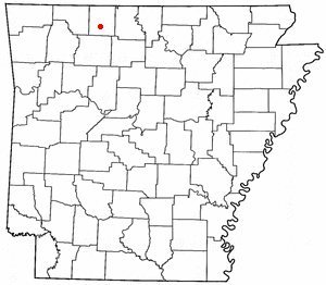 CommonsARMap-doton-Harrison2005
Then & now
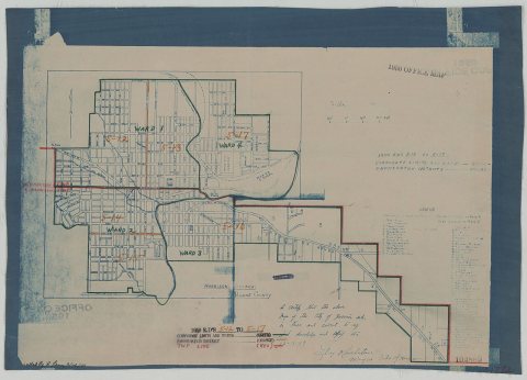
No then-and-now pairs yet. Take a photo from the same spot as 1950 Census Enumeration District Maps - Arkansas - Boone County - Harrison - ED AR 5-12 to 17 (1880) and it appears here side by side.
🔁 Retake this view · +15Historic places
National Register · via Wikidata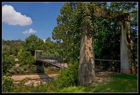
From Wikimedia Commons (10), the Library of Congress (1) and the National Register (1). Images are copied here with their credits and licenses, shown on each photo’s page. Refreshed monthly.