A history of Fort Smith,
since 1817
Postcards, papers and photographs of Fort Smith from public archives, woven together by decade. Neighbors fill in the gaps.
The story
from WikipediaRead it all ↗No evidence indicates permanent indigenous settlements at the time of European contact in what became Fort Smith. In southern Fort Smith, a platform mound known as the Cavanaugh Mound exists in isolation and may have served as a vantage point from which the Spiro Mounds in present-day Oklahoma could be seen in earlier centuries.
Text from Wikipedia, licensed CC BY-SA 4.0.
Timeline
built from the dates on the items belowFinish Fort Smith’s story
Most archives stop around 1920. The photos from after that are in family albums, not libraries.
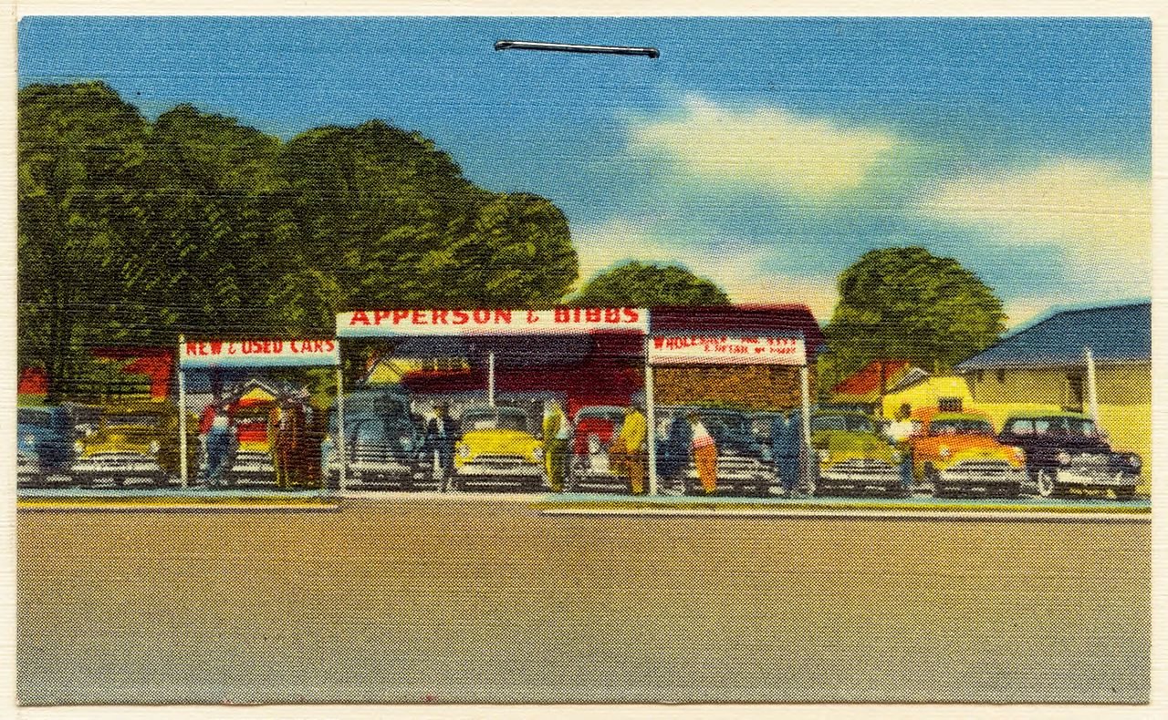
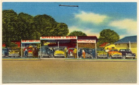
2 of 10 decades since 1900 have photos 🔁Retake an old viewApperson and Bibbs, new and used …, c. 1930: stand where they stood+15 📦Share a family photoSign in to add one+10Famous people from Fort Smith
See all 63 →


Fort Smith, decade by decade



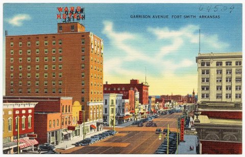
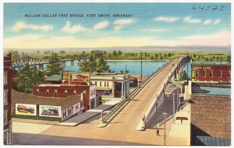
1990s
Then & now
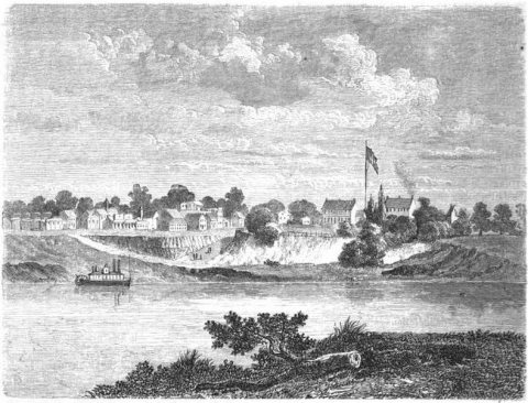
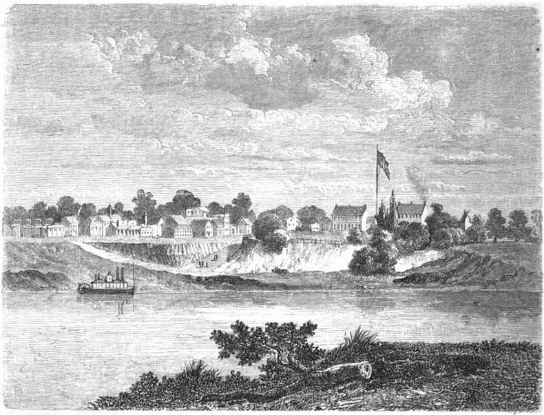
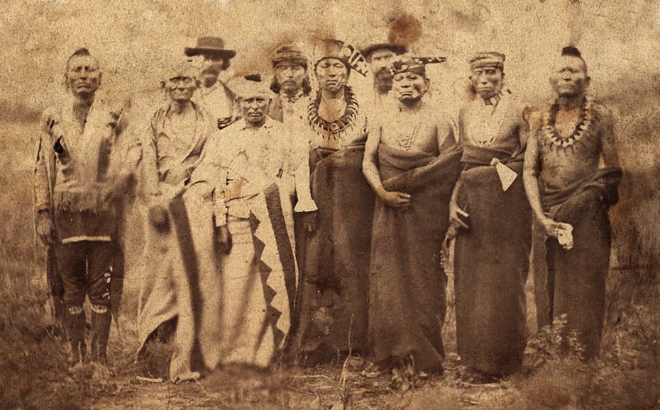
No then-and-now pairs yet. Take a photo from the same spot as Le Tour du monde-01-p340 (1860) and it appears here side by side.
🔁 Retake this view · +15Historic places
National Register · via Wikidata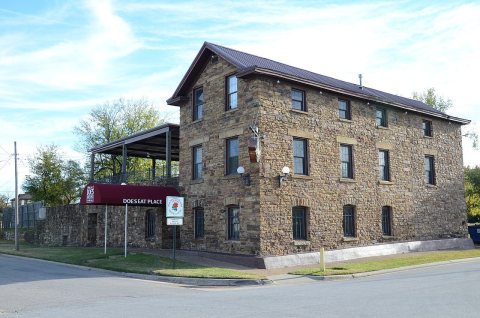
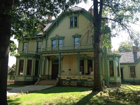
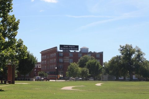
From Wikimedia Commons (6), the Library of Congress (3) and the National Register (3). Images are copied here with their credits and licenses, shown on each photo’s page. Refreshed monthly.