Earle’s history is
mostly unwritten
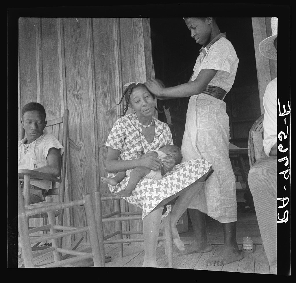
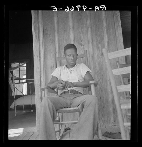
The public archives hold only 2 old photos of Earle. The rest are in attics, shoeboxes and the historical society. Help start the collection.
The story
from WikipediaRead it all ↗The city of Earle originally started as two neighboring communities started in the 1860s, Earle and Norvell. Norvell was originally settled in July 1872 by local doctor James Throgmorton. Earle was a train stop established in the late 1880s on land owned by Josiah Francis Earle, a former Confederate soldier and Klansman. The train stop was established after his death in 1884.
In 1888, a branch of the St. Louis, Iron Mountain, & Southern Railway was built south of Earle. The line still exists as a part of the Union Pacific Railroad. The town had two lumber company-owned railroads connect to it in the early 1900s, the Crittenden Railroad and the Tyronza Lumber Company Railroad.
Text from Wikipedia, licensed CC BY-SA 4.0.
Timeline
built from the dates on the items belowStart Earle’s collection
The first neighbors to add old photos shape how Earle’s history is told.
1 of 10 decades since 1900 have photos 🔁Retake an old viewNegro women near Earle, Arkansas, 1936: stand where they stood+15 📦Share a family photoSign in to add one+10Famous people from Earle
See all 6 →
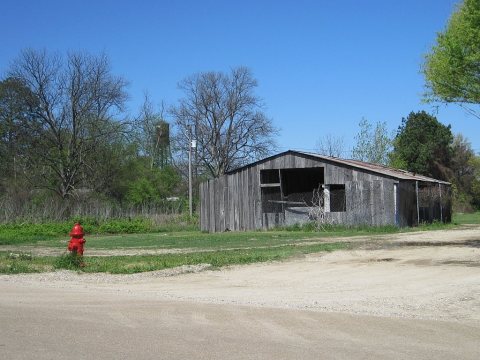
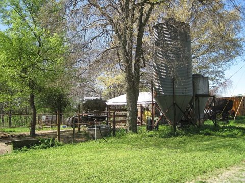
Earle, decade by decade
1990s
Then & now
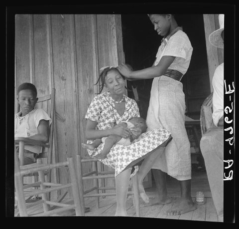
No then-and-now pairs yet. Take a photo from the same spot as Negro women near Earle, Arkansas (1936) and it appears here side by side.
🔁 Retake this view · +15Historic places
National Register · via Wikidata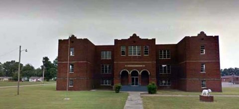
From Wikimedia Commons (3), the Library of Congress (2) and the National Register (1). Images are copied here with their credits and licenses, shown on each photo’s page. Refreshed monthly.