Camden’s history is
mostly unwritten
The public archives hold only 2 old photos of Camden. The rest are in attics, shoeboxes and the historical society. Help start the collection.
The story
from WikipediaRead it all ↗The explorers Father Jacques Marquette and Louis Joliet in 1673 and René-Robert Cavelier, Sieur de La Salle, in 1682 established French claims to the land they called Louisiana, which included what would become Camden, and found the Quapaw living at the confluence of the Arkansas and Mississippi rivers. The Quapaw claimed the territory that included this part of the Ouachita basin, but it was also influenced by both Caddo trade and culture. The old Indian trail called the Caddo Trace, leading from the Quapaw villages on the Arkansas River to those of the Caddo on the Red River, crossed the Ouachita River at what is now Camden. French hunters, trappers, and traders, who were drawn to the area by the abundant game, later established a rendezvous point on the high bluff above the crossing. The place became known as Ecore a Fabri or Fabri's Bluff (later spelled Fabre).
Text from Wikipedia, licensed CC BY-SA 4.0.
Timeline
built from the dates on the items belowStart Camden’s collection
The first neighbors to add old photos shape how Camden’s history is told.
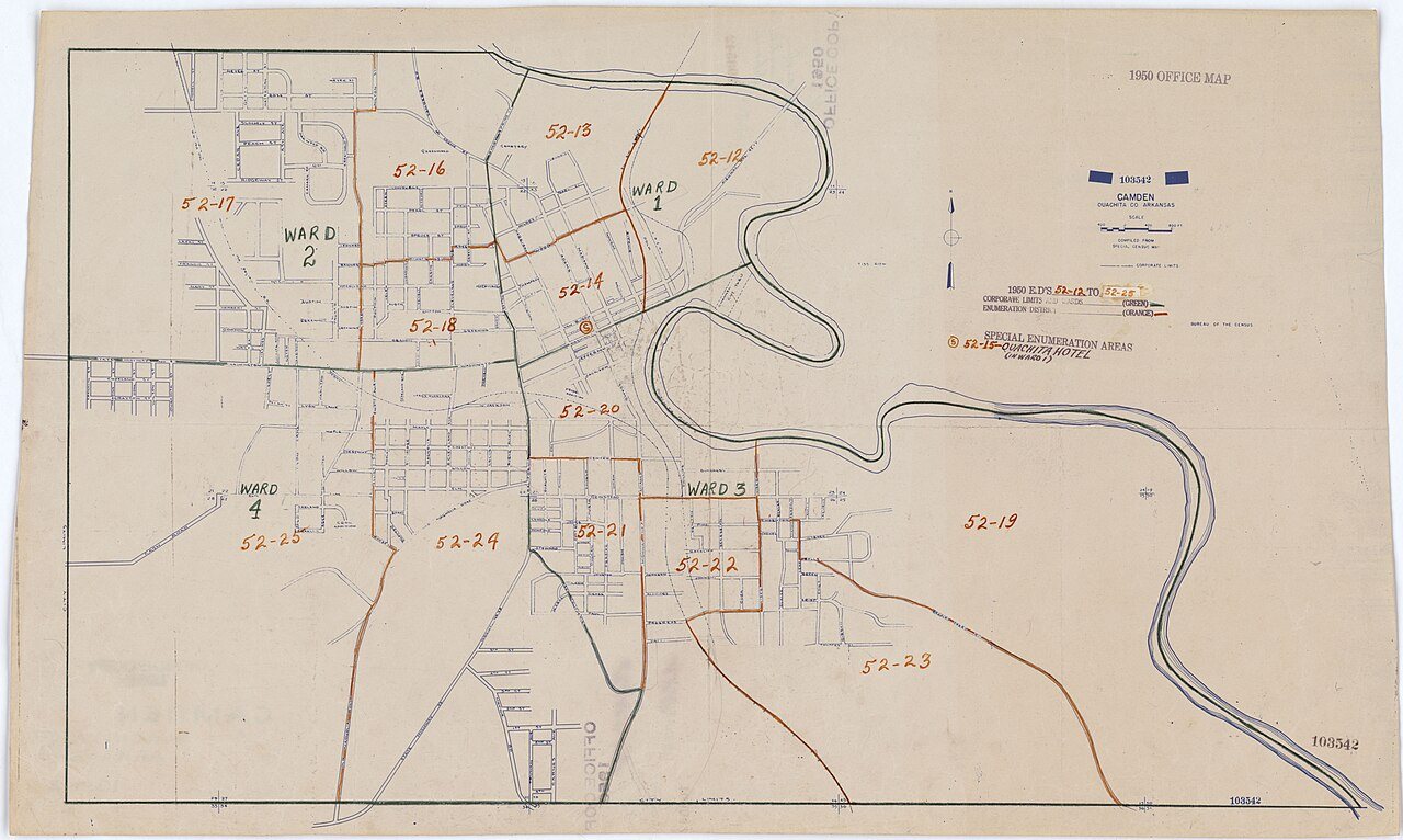
1 of 10 decades since 1900 have photos 🔁Retake an old view1950 Census Enumeration District …, 1880: stand where they stood+15 📦Share a family photoSign in to add one+10Famous people from Camden
See all 23 →


Camden, decade by decade
1990s
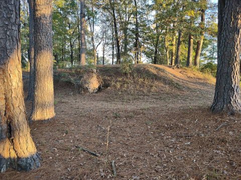
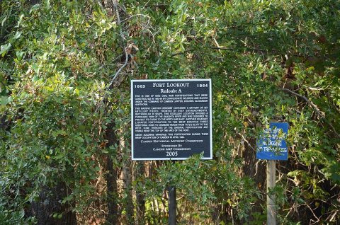
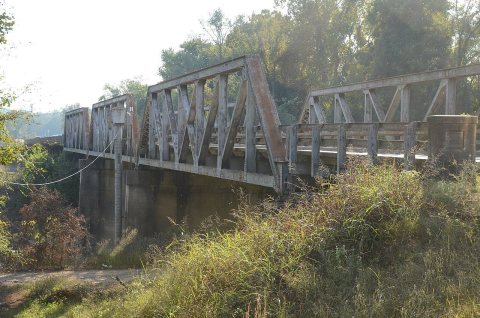
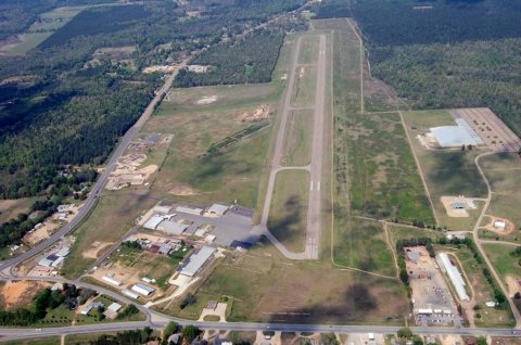

32 historic places in Camden
Camden has 32 listings on the National Register, and they protect 120 historic buildings, because Camden Commercial Historic District alone counts 28. 2 are National Historic Landmarks, the highest tier, which fewer than 3% of listings reach.
Where they are
When they were listed
 Listed 2000Oakland CemeteryListed 1971McCollum-Chidester HouseListed 1972Tate's BarnListed 1974Benjamin T. Powell HouseListed 1974Rowland B. Smith HouseListed 1974Elliott-Meek HouseListed 1974Graham-Gaughan-Betts HouseListed 1975Leake-Ingham BuildingListed 1977Old Camden Post OfficeListed 1977Richmond-Tufts HouseListed 1978Oakland FarmListed 1989Ouachita County CourthouseListed 1992Missouri-Pacific Railroad Depot-CamdenListed 1994Tyson Family Commercial BuildingListed 1995Sidney A. Umsted HouseListed 1996Camden Confederate MonumentListed 1996Oakland Cemetery, Confederate SectionListed 1998Clifton and Greening Streets Historic DistrictListed 2000Laney, Ben, BridgeListed 2001Harvey's Grocery and Texaco StationListed 2001Clifton and Greening Street Historic District (Boundary Increase)Listed 2003Rumph HouseListed 2006Hickman HouseListed 2007Clifton and Greening Street Historic District (Boundary Increase II)Listed 2011Clifton and Greening Streets Historic District (Boundary Increase III)Listed 2017St. John's Episcopal ChurchListed 2018Washington Street Historic District (Boundary Increase)Listed 2021Spring-Harrison Historic DistrictListed 2022Standard Oil Company Oil Station PumphouseListed 2022Camden Commercial Historic District
Then & now
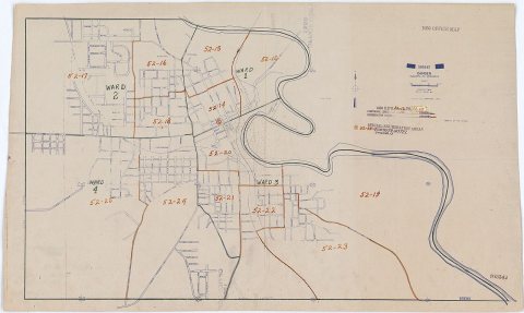
No then-and-now pairs yet. Take a photo from the same spot as 1950 Census Enumeration District Maps - Arkansas - Ouachita County - Camden - ED AR 52-12 to 25 (1880) and it appears here side by side.
🔁 Retake this view · +15Stories next door
nearby towns’ historyFrom Wikimedia Commons (10) and the National Register (2). Images are copied here with their credits and licenses, shown on each photo’s page. Refreshed monthly.