
Bono’s history is
mostly unwritten
The public archives hold just one old photo of Bono. The rest are in attics, shoeboxes and the historical society. Help start the collection.
The story
from WikipediaRead it all ↗Prior to European American settlement, northeast Arkansas was home to several indigenous communities, these included a Delaware village, as well as scattered Shawnee and Cherokee homesteaders. After the New Madrid earthquakes, existing communities were forced westward.
American settlement began in 1837, when John Anderson and his son established the Big Creek Township. At the time the homestead was solely agricultural and part of Greene County, and remained so until its incorporation into the newly formed Craighead County in 1859.
Text from Wikipedia, licensed CC BY-SA 4.0.
Timeline
built from the dates on the items belowStart Bono’s collection
The first neighbors to add old photos shape how Bono’s history is told.
1 of 10 decades since 1900 have photos 🔁Retake an old viewFlag of, 1986: stand where they stood+15 📦Share a family photoSign in to add one+10Famous people from Bono
See all 7 →Bono, decade by decade
1990s
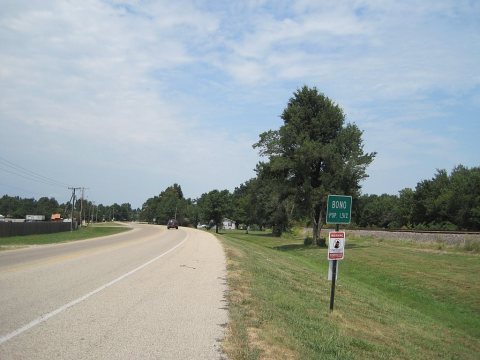
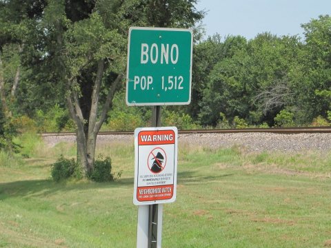
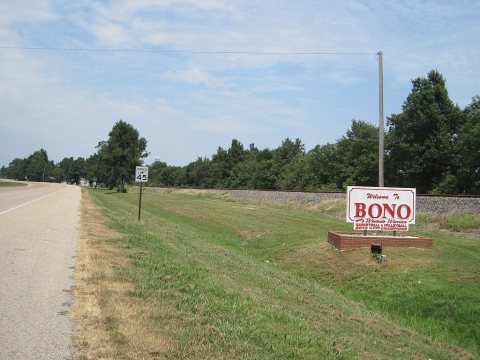
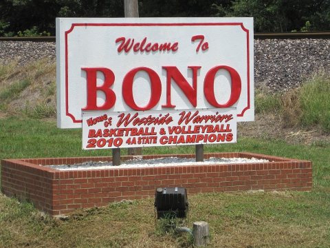
Nothing in Bono is on the National Register yet
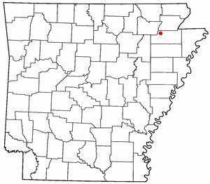
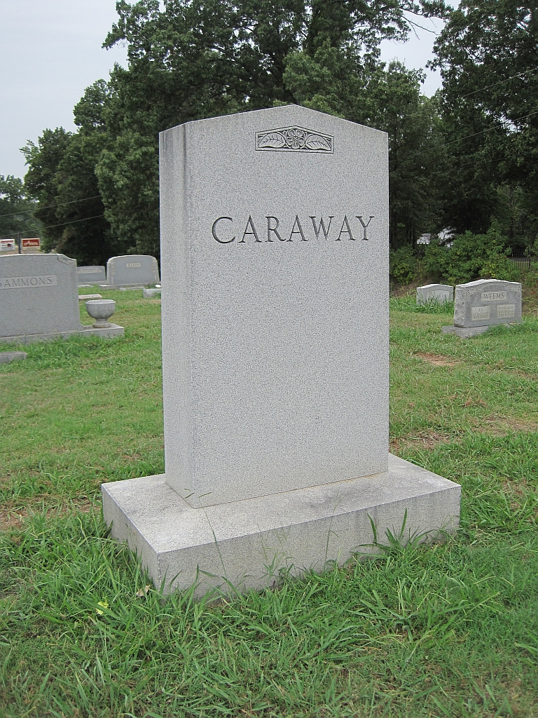
That’s true of most small towns. It doesn’t mean Bono has no history, only that no one has written up a nomination. The closest listed place is Caraway, US Sen. Hattie, Gravesite in Jonesboro, 6.2 miles away.
Bono and the nearest listed places

How a place gets listed
Then & now

No then-and-now pairs yet. Take a photo from the same spot as Flag of (1986) and it appears here side by side.
🔁 Retake this view · +15Stories next door
nearby towns’ historyFrom Wikimedia Commons (6). Images are copied here with their credits and licenses, shown on each photo’s page. Refreshed monthly.