The story
from WikipediaRead it all ↗The town of Antoine began as a stopping point on the old Southwest Trail to Texas in the early 19th century. It was named for a French trapper who was found dead at his camp along the road (the site of the present town cemetery). The only identification found on the man was his first name, "Antoine". He was buried on the hill by the river and the gravesite became a landmark for travelers. Eventually, the name was given to the river and to the town that grew up beside it. Antoine's grave is located within the bounds of the town cemetery, although the marker has disappeared over time. Antoine is located on Arkansas Highway 26 between Murfreesboro and Arkadelphia in the southeastern section of Pike County. Antoine was one of the first settlements in what is now Pike County. It had characteristics of what our forefathers were seeking - rich level farmland and located on the bank of the …
Text from Wikipedia, licensed CC BY-SA 4.0.
Start Antoine’s collection
The first neighbors to add old photos shape how Antoine’s history is told.
0 of 10 decades since 1900 have photos 📦Share a family photoSign in to add one+10Famous people from Antoine
See all 1 →Antoine, decade by decade
2000
Nothing in Antoine is on the National Register yet
That’s true of most small towns. It doesn’t mean Antoine has no history, only that no one has written up a nomination. The closest listed place is Rosenwald School in Antoine, 1.9 miles away.
Antoine and the nearest listed places
How a place gets listed
Then & now
When neighbors add old photos, retakes from the same spot appear here side by side.
Stories next door
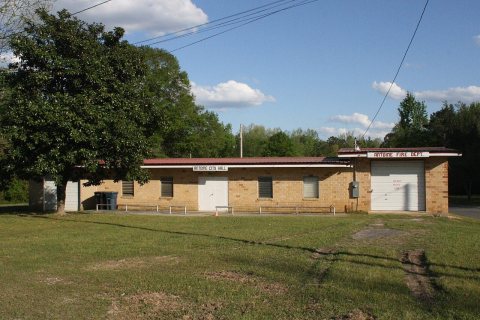
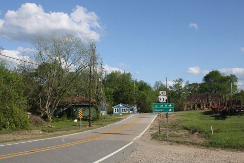
nearby towns’ historyFrom Wikimedia Commons (2). Images are copied here with their credits and licenses, shown on each photo’s page. Refreshed monthly.