Selma

What’s happening
Weather
Forecast →Upcoming events
Put the next local happening — a market, a meeting, a concert — on the map.
Local news
Headlines via Google News · Articles belong to their publishers.
The Selma album
Outdoors in Selma
Parks & trails →Trails & parks © OpenStreetMap contributors · Conserved land: USGS PAD-US
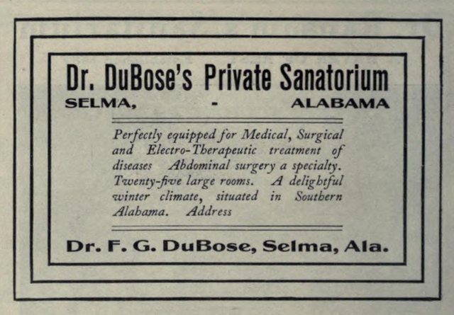 1906
1906
Dr. DuBose's Private Sanatorium ("American medical directory", 1906 advert), 1906
Photo · Wikimedia Commons
Landmark of the day
All 20 historic places →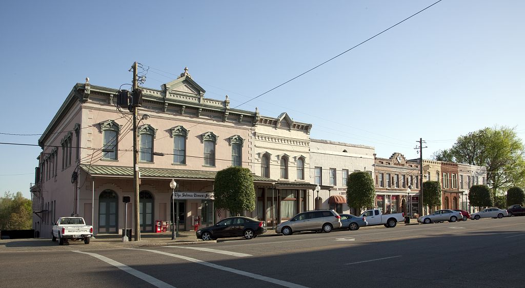
Water Avenue Historic District
Water Avenue Historic District was added to the National Register of Historic Places on Dec 26, 1972. It is significant for its commerce and architecture at the state level. The district takes in 21 historic buildings.
About Selma
City in Dallas County, Alabama, United StatesSelma is a city in and the county seat of Dallas County, in the Black Belt region of south central Alabama and extending to the west. Located on the banks of the Alabama River, the city has a population of 17,971 as of the 2020 census. About 80% of the population is African-American. Selma was a trading center and market town during the antebellum years of King Cotton in the South. It was also an important armaments-manufacturing and iron shipbuilding center for the Confederacy, as well as providing a hospital converted from a Masonic university, during the Civil War, surrounded by miles of earthen fortifications. The Confederate forces were defeated during the Battle of Selma, in the final…
From Wikipedia, licensed CC BY-SA 4.0 · facts via Wikidata (CC0)
How Selma ranks
All →Town numbers
Housing in Selma
The typical Selma home is worth about $77,000, up 4.3% in a year, 68% below the Alabama typical home.
A buyer's market
Safety in Selma
Safety Grade D
Selma reports more crime per resident than most U.S. towns we grade: about 90% report less.
Work & commute in Selma
Full picture →About one in 3 of Selma’s working residents works in town. The top destinations are Montgomery (8%), Birmingham (4%) and Tuscaloosa (3%). Half commute less than 35 miles.
Health in Selma
Health Grade D−
Healthier than 5% of U.S. towns on seven CDC estimates, and 42% of towns with similar incomes.
Compared with Alabama
of 32 measures CDC estimates. The other 7 are too close to call.
What stands out
Care nearby
Natural hazards in Selma
Expected storm and flood damage is higher than in 69% of U.S. communities.
Climate in Selma
Full climate →Selma has mild winters and hot summers, with plenty of rain. A typical July afternoon reaches 92°, a January night drops to 36°, and snow is almost unheard of.
Schools in Selma
All Selma schools →School Grade C-
The public schools Selma’s kids attend, from kindergarten through graduation, trail 80% of Alabama’s districts on state tests and graduation. Among towns with similar incomes, they rank near the bottom.
School data from the U.S. Department of Education (NCES, EDFacts). The School Grade is our own summary of state test results and graduation rates, graded within AL. Ratings are from neighbors.
Selma is a college town
Colleges →of Selma’s residents are enrolled in college. George C Wallace State Community College-Selma has about 1,119 students on campus, and 1 more college is in town.
Selma’s library
Library details →Famous people from Selma
See all 74 →


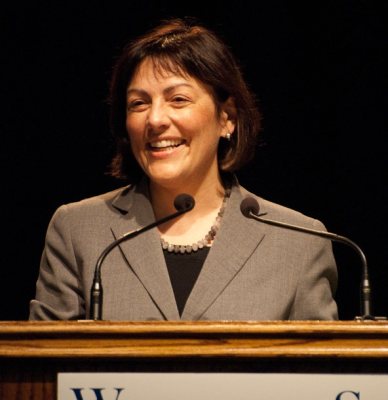
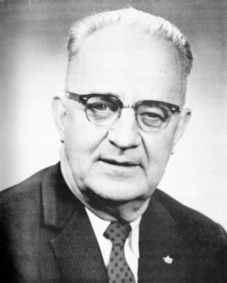

Where Selma is
Explore map →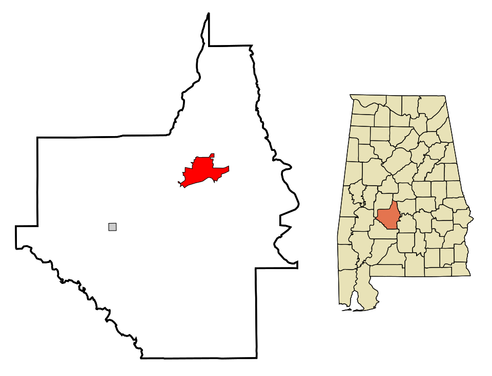

Location map