The story
from WikipediaRead it all ↗Occupied for thousands of years by indigenous peoples, this area was ceded by the historic tribe to the U.S. government in the 1830s and the era of Indian Removal.
The town was first known as Walker's Mill and Store, named for Major Walker, the area's first European-American settler. In 1832, the legislature relocated the county seat to Monroeville from Claiborne on the Alabama River. The settlement was briefly renamed "Centerville" due to its location in the center of the county, and then was formally changed to Monroeville. The town was not formally incorporated until April 15, 1899.
Text from Wikipedia, licensed CC BY-SA 4.0.
Start Monroeville’s collection
The first neighbors to add old photos shape how Monroeville’s history is told.
0 of 10 decades since 1900 have photos 📦Share a family photoSign in to add one+10Monroeville, decade by decade
2000
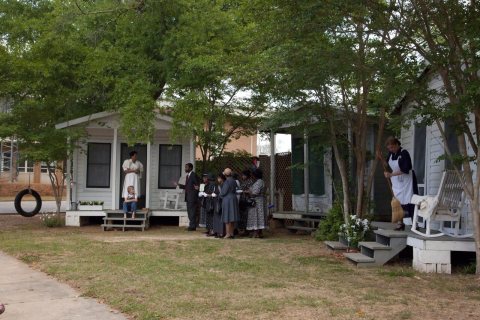 CommonsA scene from the play "To Kill A Mockingbird," performed in2010
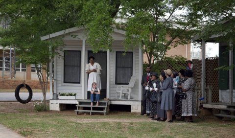 CommonsA scene from the play "To Kill A Mockingbird," performed in2010
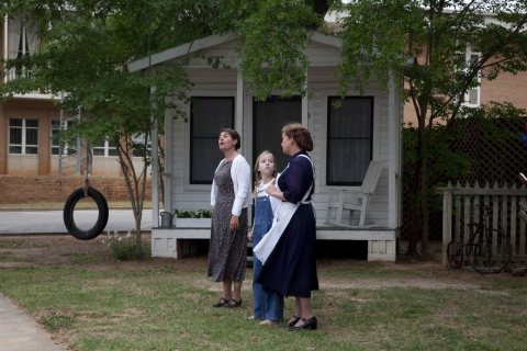 CommonsA scene from the play "To Kill A Mockingbird," performed in2010
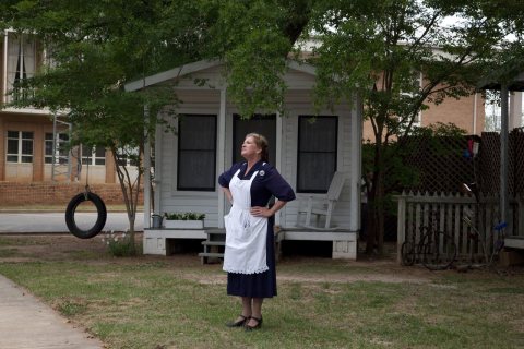 CommonsA scene from the play "To Kill A Mockingbird," performed in2010
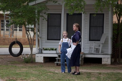 CommonsA scene from the play "To Kill A Mockingbird," performed in2010
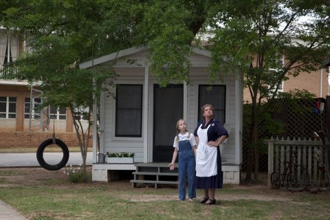 CommonsA scene from the play "To Kill A Mockingbird," performed in2010
Then & now
When neighbors add old photos, retakes from the same spot appear here side by side.
Stories next door
nearby towns’ historyFrom Wikimedia Commons (6). Images are copied here with their credits and licenses, shown on each photo’s page. Refreshed monthly.