Leeds’s history is
mostly unwritten
The public archives hold only 2 old photos of Leeds. The rest are in attics, shoeboxes and the historical society. Help start the collection.
The story
from WikipediaRead it all ↗The War of 1812, geography, geology, and three cultures shaped the history of Leeds. Lying at the crossroads of ancient Native American paths in the center of Alabama, Leeds drew European settlers and their African-American slaves to a land of fertile growing seasons and rich sources of coal and mineral ore. The early settlers built churches and schools with many remaining in Cedar Grove, Oak Ridge, Ohanafeefee, and Mt. Pleasant. The principal survey of Leeds was entered into Jefferson County Map Book 10, page 21, in 1908. The settlement, dating to 1818 and incorporating on April 27, 1887 as "Leeds", has existed along the banks of the Little Cahaba River; beside an historic stagecoach route; and along two large railroads for the greater part of American history.
Text from Wikipedia, licensed CC BY-SA 4.0.
Timeline
built from the dates on the items belowStart Leeds’s collection
The first neighbors to add old photos shape how Leeds’s history is told.
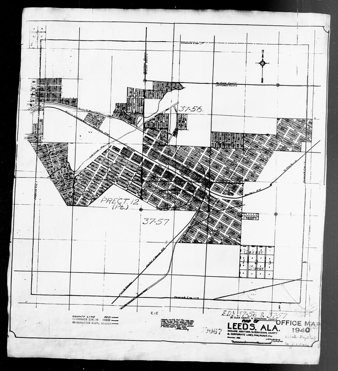
0 of 10 decades since 1900 have photos 🔁Retake an old view1940 Census Enumeration District …, 1880: stand where they stood+15 📦Share a family photoSign in to add one+10Famous people from Leeds
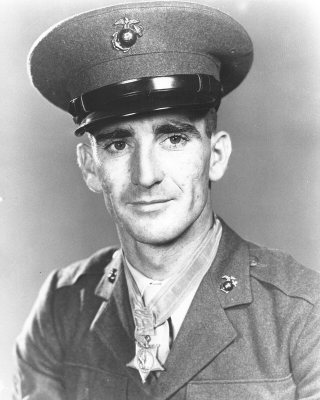
See all 10 →

Leeds, decade by decade
1990s


Then & now
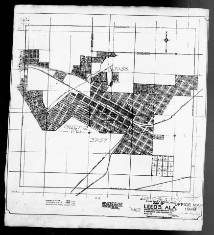
No then-and-now pairs yet. Take a photo from the same spot as 1940 Census Enumeration District Maps - Alabama - Jefferson County - Leeds - ED 37-56, ED 37-57 (1880) and it appears here side by side.
🔁 Retake this view · +15Historic places
National Register · via WikidataFrom Wikimedia Commons (7) and the National Register (3). Images are copied here with their credits and licenses, shown on each photo’s page. Refreshed monthly.