The story
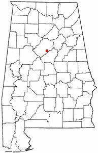
from WikipediaRead it all ↗This suburban area near the foothills of the Appalachian Mountains had been known as the Green Valley community since the 1930s; it was mostly a bedroom or residential community into the late 1970s and early 1980s. The City of Hoover was incorporated in 1967, named for William H. Hoover (1890–1979), a local insurance company owner.
On September 8, 1980, the city annexed the Riverchase business and residential community, gaining large office buildings, employers, and workers to increase the city's tax base. When Interstate 459 was opened, a major interchange with Interstate 65 was constructed within the borders of Hoover, improving access.
Text from Wikipedia, licensed CC BY-SA 4.0.
Timeline
built from the dates on the items belowStart Hoover’s collection
The first neighbors to add old photos shape how Hoover’s history is told.
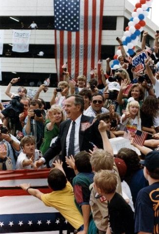
1 of 10 decades since 1900 have photos 🔁Retake an old viewPresident and Mrs. Bush attend a …, 1992: stand where they stood+15 📦Share a family photoSign in to add one+10Famous people from Hoover
See all 12 →

Hoover, decade by decade
Then & now
When neighbors add old photos, retakes from the same spot appear here side by side.
Stories next door
nearby towns’ historyFrom Wikimedia Commons (6). Images are copied here with their credits and licenses, shown on each photo’s page. Refreshed monthly.