The story
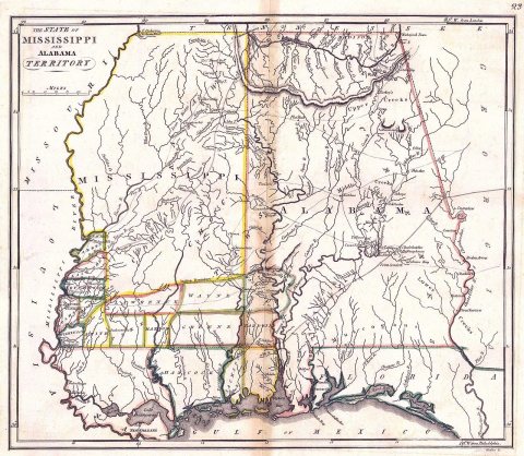
from WikipediaRead it all ↗Coosawda was home to a Creek (Coushatta tribe) village called Koasati in the 18th and early 19th centuries. By invitation, many Chickamauga Cherokee followers of Dragging Canoe fled to the town during and following the American War of Independence. Coosada was the birthplace of influential Creek leader William Weatherford, who led the Red Stick uprising of 1813–1814. After that, the Native American population was removed to the west.
Text from Wikipedia, licensed CC BY-SA 4.0.
Start Coosada’s collection
The first neighbors to add old photos shape how Coosada’s history is told.
0 of 10 decades since 1900 have photos 📦Share a family photoSign in to add one+10Coosada, decade by decade
Then & now
When neighbors add old photos, retakes from the same spot appear here side by side.
Stories next door
nearby towns’ historyFrom Wikimedia Commons (3). Images are copied here with their credits and licenses, shown on each photo’s page. Refreshed monthly.