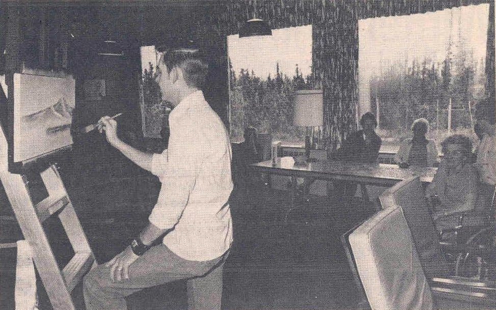
A history of Eielson AFB,
since 1943
Postcards, papers and photographs of Eielson AFB from public archives, woven together by decade. Neighbors fill in the gaps.
The story
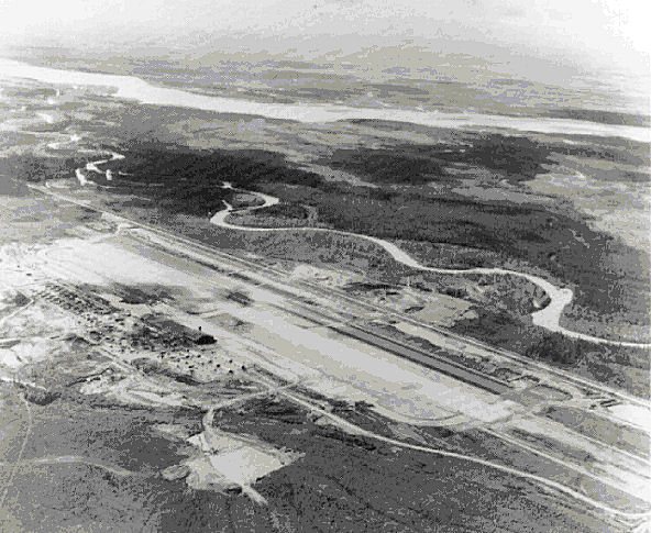
from WikipediaRead it all ↗On 7 June 1943, the Western Defense Command ordered construction of a new airfield near present-day Fort Wainwright, then a United States Army Air Forces (USAAF) airfield named after Major Arthur K. Ladd. Because of its hazard-free approaches and relatively flat terrain, surveyor reports indicated a site a little more than 25 miles southeast of Ladd Army Airfield to be the best in the vicinity for military aviation. The field became known as "Mile 26" because of its proximity to a United States Army Signal Corps telegraph station and a Richardson Highway milepost marker using the same designation.
Text from Wikipedia, licensed CC BY-SA 4.0.
Timeline
built from the dates on the items belowFinish Eielson AFB’s story
Most archives stop around 1920. The photos from after that are in family albums, not libraries.
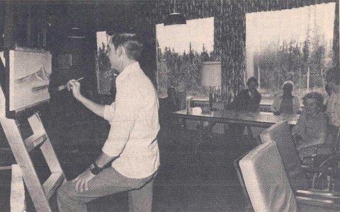
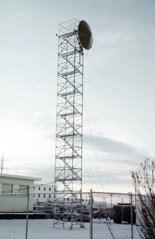
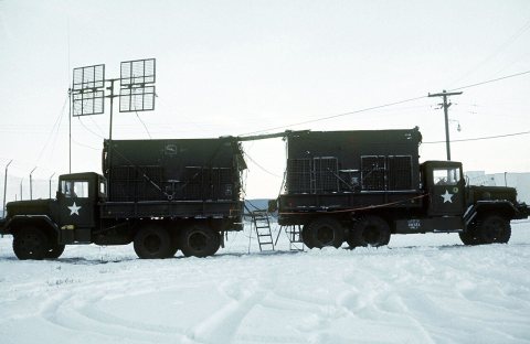
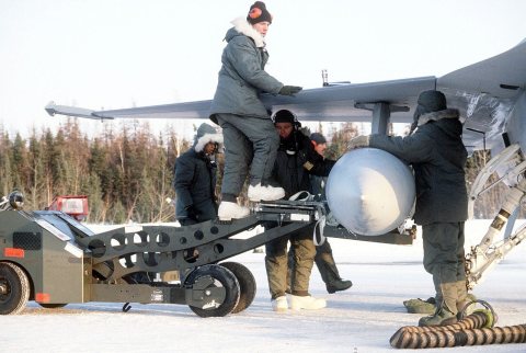
6 of 10 decades since 1900 have photos 🔁Retake an old view25milefield1945, 1945: stand where they stood+15 📦Share a family photoSign in to add one+10Eielson AFB, decade by decade
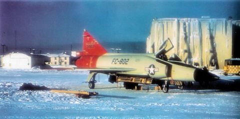
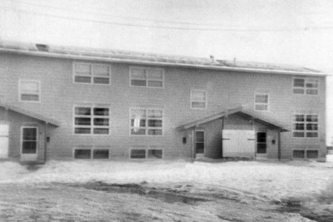
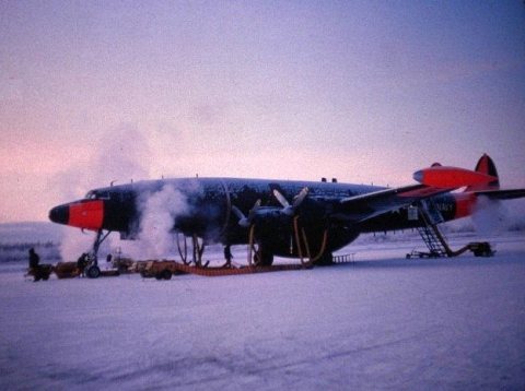

Nothing in Eielson AFB is on the National Register yet
That’s true of most small towns. It doesn’t mean Eielson AFB has no history, only that no one has written up a nomination. The closest listed place is Ladd Field in Fairbanks, 19.9 miles away.
Eielson AFB and the nearest listed places


How a place gets listed
Then & now
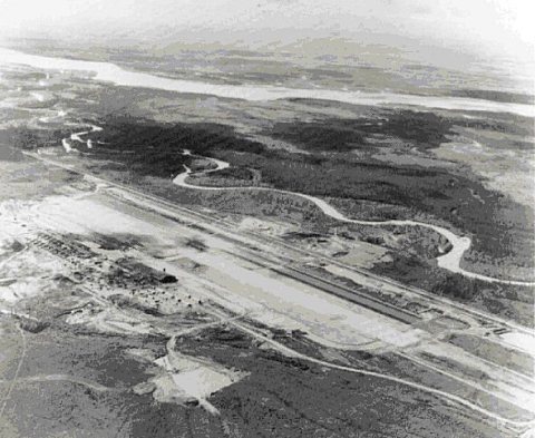
No then-and-now pairs yet. Take a photo from the same spot as 25milefield1945 (1945) and it appears here side by side.
🔁 Retake this view · +15Stories next door
nearby towns’ historyFrom Wikimedia Commons (12). Images are copied here with their credits and licenses, shown on each photo’s page. Refreshed monthly.