Guest, Sign inJoin
History · Egegik

Egegik in old photos and postcards

Postcards, papers and photographs of Egegik from public archives, woven together by decade. Neighbors fill in the gaps.

9old photos & papers
2need a date
From Egegik’s archive · credits on each photo

What stands out about Egegik’s past

Read from the archive, the National Register and the record. The page puts what stands out first.

★ What stands out · People over time

Egegik, census by census

0100200 18801900192019401960198020002020 Peak: 203

Peaked at 203 in 1900; 39 people lived here in 2020.

14 censuses, 1880–2020.

U.S. Census Bureau decennial counts, from the census table on Egegik’s Wikipedia page.

The story so far

Egegik, in brief

Wikipedia doesn’t have a history of Egegik yet. The photos, dates and memories neighbors add here are how it gets written.

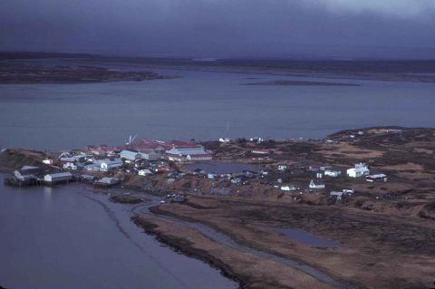
Egegik (Central Yupik: Igyagiiq; Sugpiaq: Igya'iq, Igyagiq) is a city in Lake and Peninsula Borough, Alaska, United States. As of the 2020 census, the population of the city is 39, down from 109 in 2010. It has been home to cannery operations.

Between the 2010 and 2020 censuses its population fell from 109 to 39 (-64%).

Intro from Wikipedia. Population: U.S. Census Bureau.

Timeline

Egegik, 1900 to 1951

Woven from the archive, old maps, post office records, the National Register and the people born here.

  1. 20th century
  2. 1900CensusPopulation peaks at 203
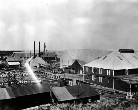
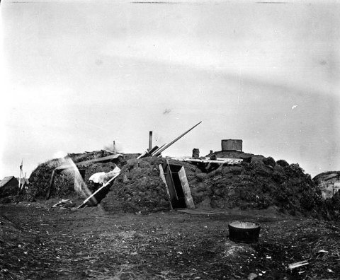
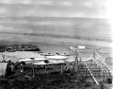
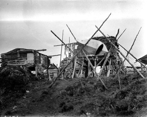
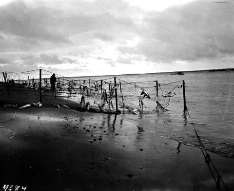
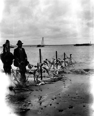
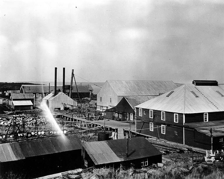
  3. 1917In the archiveAlaska Packers Association cannery at Egegik, Alaska, 1917
  4. 1930Post officeThe Egegik post office opens
  5. 1951On the mapFirst mapped by the U.S. Geological Survey
By decade

Egegik, decade by decade

One decade in the archive so far: the 1910s. Scroll each row; tap a photo for its story.

On the map

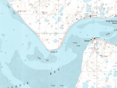
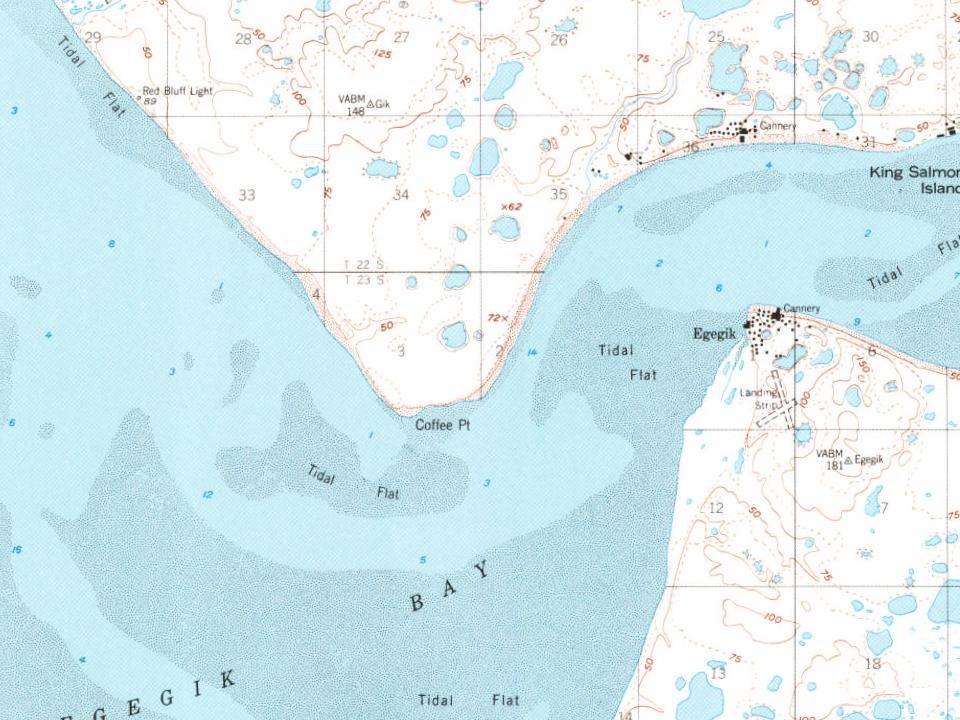
Egegik on the map in 1951

The U.S. Geological Survey’s map of Egegik.

Egegik on the 1951 USGS map 1951Naknek A-5 sheet · 1:63,360

U.S. Geological Survey historical topographic maps (public domain), via Esri’s collection of the scans. The red ring marks the center of Egegik.

Then & now

Stand where they stood

No then-and-now pairs yet. Take a photo from the same spot as an old one and they appear here side by side.

Alaska Packers Association cannery at Egegik, Alaska, 1917
Retake this viewAlaska Packers Association cannery at Egegik, Alaska, 1917, 1917

Find the spot, match the angle, and add your photo. It becomes the first then-and-now pair on Egegik’s page.

Retake this view · +15
Places that used to be

Places now gone

Egegik’s post office has been open since 1930.

Gone or out of use
Bartletts Airportairport

US Post Offices dataset (Blevins & Helbock, CC0). Places and cemeteries from the USGS Geographic Names Information System (2021).

Help out

Finish Egegik’s story

Most archives stop around 1920. The photos from after that are in family albums, not libraries.

Decades since 1900 with photos
00s10s20s30s40s50s60s70s80s90s
1 of 10 decades. The empty ones are waiting for someone’s album.

Memory lane

What the archives can’t tell you, neighbors can.

Town Square →
Weigh in
Has Egegik changed for the better?

Your answer becomes a post in Town Square.

Start a conversation

From Wikimedia Commons (8), the Library of Congress (1), U.S. Geological Survey historical maps, U.S. Census counts (via Wikipedia), the US Post Offices dataset (Blevins & Helbock) and the USGS Geographic Names Information System. Archive images are copied here with their credits and licenses, shown on each photo’s page. Refreshed monthly.
Post to Egegik

We’ll email a one-tap link to publish your post. No password, and nothing is public until you click it.
Already a member? Sign in