Share
History · Chignik
Chignik in old photos and postcardsPostcards, papers and photographs of Chignik from public archives, woven together by decade. Neighbors fill in the gaps.
From Chignik’s archive · credits on each photo
What stands out about Chignik’s past Read from the archive, the National Register and the record. The page puts what stands out first.
★ What stands out · By decade Chignik, decade by decade 3 decades in the archive, from the 1890s to the 1910s. Scroll each row; tap a photo for its story.
1900s–1910s 12 items
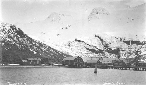
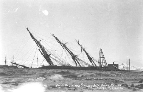
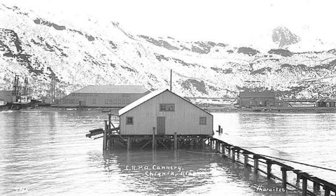
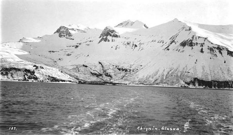
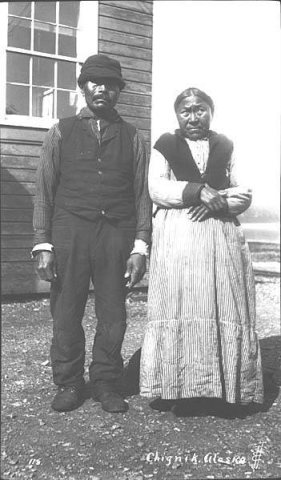
1907 Chignik Cannery, Chignik, Alaska, between 1907 and 19… c. 1910 Chignik, Alaska, between 1905 and 1915 c. 1910 View of Chignik, ca. 1910 1911 Wreck of the salmon cannery ship JABEZ HOWES, Chignik… 1911 Wreck of the salmon cannery ship JABEZ HOWES, Chignik… 1911 Wreck of the salmon cannery ship JABEZ HOWES, Chignik… 1911 Wreck of the salmon cannery ship JABEZ HOWES, Chignik… 1911 Wreck of the salmon cannery ship JABEZ HOWES, Chignik… c. 1912 Chignik, bird's-eye view , ca. 1912 c. 1912 Columbia River Packing Association cannery, Chignik, … c. 1912 Looking back from ship to Chignik and hills, ca. 1912 c. 1912 Native couple, Chignik, ca. 1912 1920s–1990s nothing yet
Nothing in the archives for these years Weddings on Main Street, storms, parades, school pictures, the old store. If it’s in your family album, it belongs here.
Add from your album The story How Chignik came to be From Wikipedia’s history of Chignik.
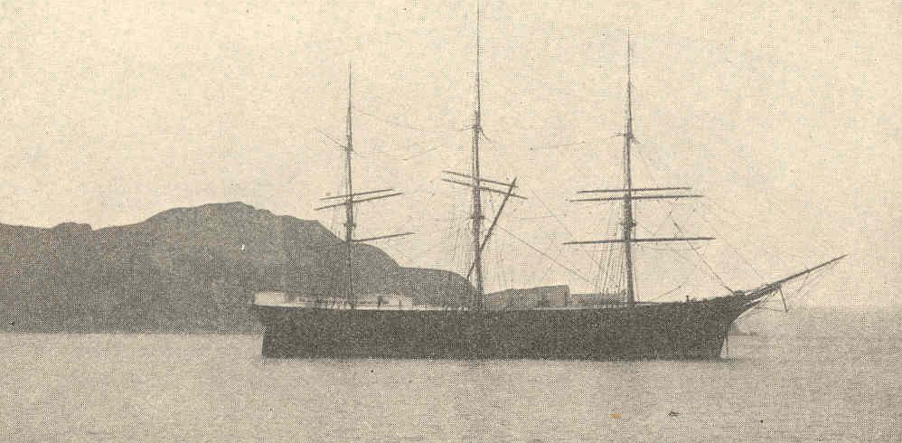
Read it all → On April 17, 1911, a gale blew ashore numerous ships such as the Benjamin F. Packard, the Star of Alaska, and the Jabez Howes, a three-masted, full-rigged ship owned by the Columbia River Packers Association and used as a cannery tender.
Text from Wikipedia , licensed CC BY-SA 4.0 .
At a glance
Half its homes built before 1983
Oldest item in the archive 1899
First census count 224 in 1940
Most people 253 in 1950
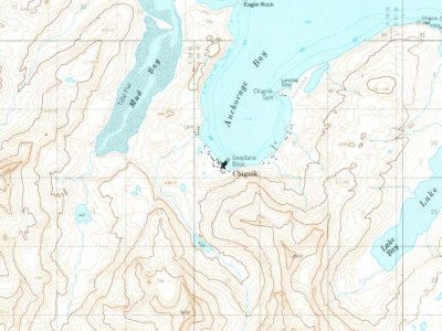
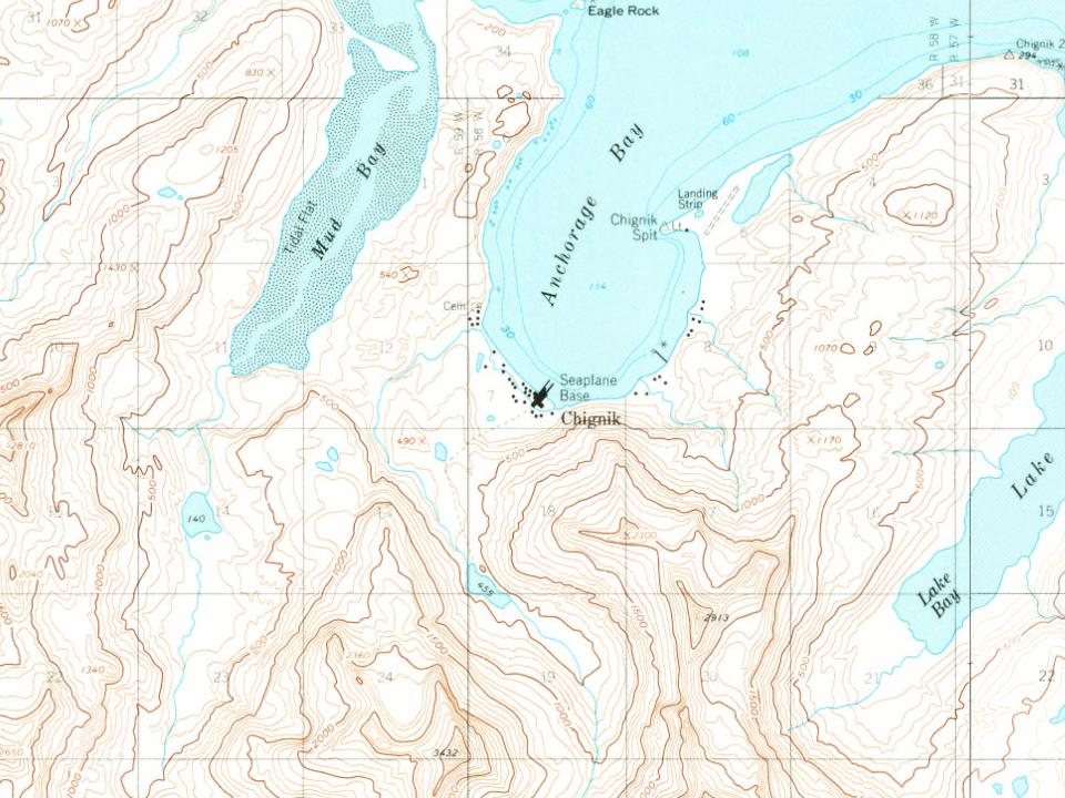
People in 2020 97 The houses today → On the map Chignik on the map in 1963 The U.S. Geological Survey’s map of Chignik.
1963Chignik B-2 sheet · 1:63,360 U.S. Geological Survey historical topographic maps (public domain), via Esri’s collection of the scans. The red ring marks the center of Chignik.
Then & now Stand where they stood No then-and-now pairs yet. Take a photo from the same spot as an old one and they appear here side by side.
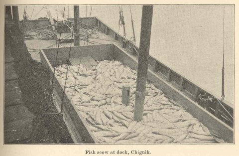
Retake this view FMIB 38716 Fish Scow at Dock, 1899 Find the spot, match the angle, and add your photo. It becomes the first then-and-now pair on Chignik’s page.
Retake this view · +15 People over time
Chignik, census by census
0 100 200 1940 1960 1980 2000 2020 Peak: 253 Between 79 and 253 people in every census since 1940.
9 censuses, 1940–2020.
U.S. Census Bureau decennial counts, from the census table on Chignik’s Wikipedia page.
Help out Finish Chignik’s story Most archives stop around 1920. The photos from after that are in family albums, not libraries.
Decades since 1900 with photos 00s 10s 20s 30s 40s 50s 60s 70s 80s 90s
2 of 10 decades. The empty ones are waiting for someone’s album. Stories next door
History across the town line Memory lane What the archives can’t tell you, neighbors can.
Town Square →
Weigh in
Has Chignik changed for the better?
Yes I miss the old days
Your answer becomes a post in Town Square.
Start a conversation
What used to stand where something else is now in Chignik? → Who remembers Chignik in the 1950s? → A family story from old Chignik → Does anyone have photos of Chignik from the 1990s? →
From Wikimedia Commons (18), Wikipedia, U.S. Geological Survey historical maps, U.S. Census counts (via Wikipedia), the US Post Offices dataset (Blevins & Helbock) and the USGS Geographic Names Information System. Archive images are copied here with their credits and licenses, shown on each photo’s page. Refreshed monthly.
Copyright © 2026 TownTapestry · The guide for every city and town in America · In loving memory of John Cullinane whose interest in maps and discovering new places was contagious. Share TownTapestry to support usBrowse by state · Privacy · Terms 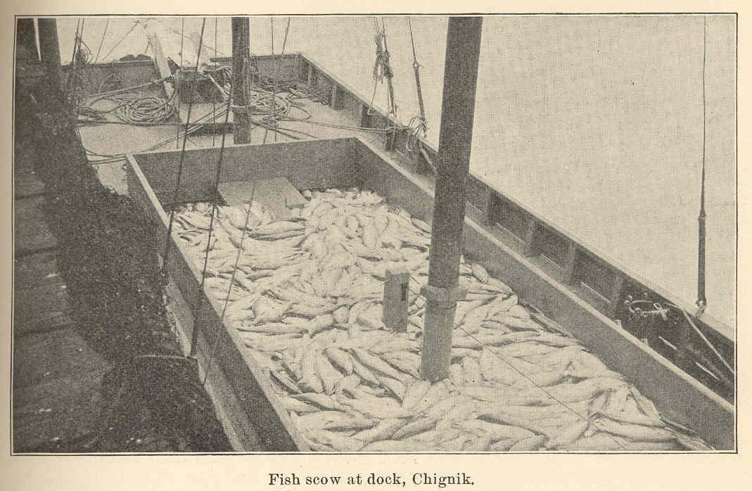
 1899
1899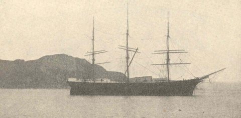 1899
1899 1899
1899 1899
1899 1899
1899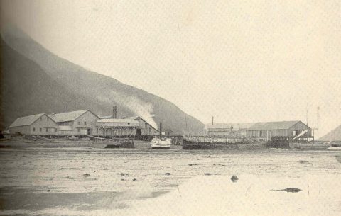 1899
1899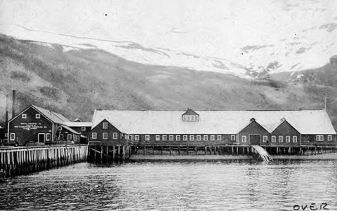 1907
1907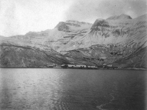 c. 1910
 c. 1910
 1911
1911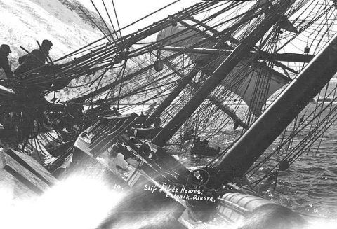 1911
1911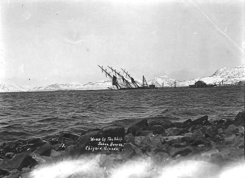 1911
1911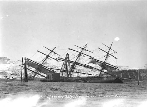 1911
1911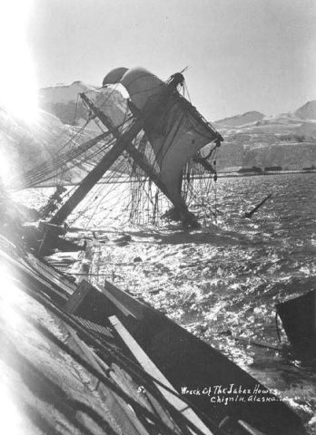 1911
1911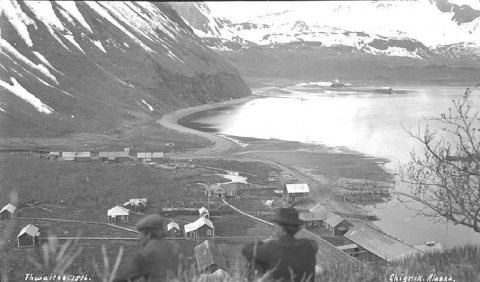 c. 1912
 c. 1912
 c. 1912
 c. 1912