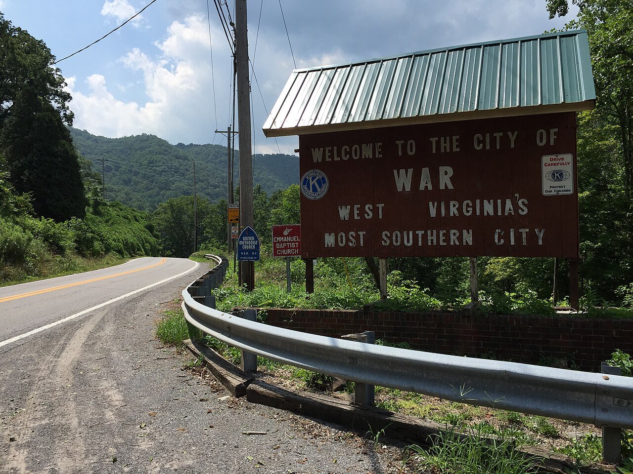
WarWV
A town of 628. A typical home worth about $40K.
What makes War stand out
The 2 things War does most differently from other towns.
628 people, and everyone knows the way
In a town this size, neighbors are the best guide. Ask them anything.
War’s report card
Now in War
Be the first to start the conversation.
The data
Ordered by what stands out in War. Another town gets a different order.
A typical War home is worth about $40K
The typical War home is worth about $40,000, down 14.9% in a year, 78% below the West Virginia typical home.
Typical home value
War’s public schools outperform 4% of West Virginia districts
The public schools War’s kids attend, from kindergarten through graduation, trail 96% of West Virginia’s districts on state tests and graduation. Among towns with similar incomes, they rank near the bottom.
| School | Grades | Students | Grade |
|---|---|---|---|
| Southside K-8 | PK–8 | 266 | D |
Very high risk, with inland flooding at the top
Expected storm and flood damage is higher than in 88% of U.S. communities.
Most working residents commute out of War
Most working residents leave War for work: only 0% work in town. The top destinations are Welch (9%), Tazewell (7%) and Charleston (4%). Half commute less than 26 miles.
Where working residents work
Four seasons, pleasant summers
War has chilly winters and warm summers. A typical July afternoon reaches 85°, a January night drops to 24°, and about 18 inches of snow falls in a normal winter.
Typical low → high °F
How healthy War is
War beats the West Virginia average on 1 of 32 CDC measures and trails it on 17.
| What stands out | War | WV |
|---|---|---|
| More adults treating high blood pressure | 82.4% | 79.5% |
| More adults with COPD | 17.6% | 10.6% |
0% of War is conserved land
1.0 miles of trails across 0 parks and preserves.
100% of working residents leave War for work
Where War’s working residents go each day. Line width shows the share.
Census LEHD 2023
About War
City in West Virginia, United States
War is a city in McDowell County, West Virginia, United States. The population was 690 at the 2020 census. War was incorporated in 1920 by the Circuit Court of McDowell County. Its name is derived from War Creek, whose confluence with Dry Fork is located within the city. War is the only place in the United States with this name. War was formerly known as Miner's City.
From Wikipedia, licensed CC BY-SA 4.0 · facts via Wikidata (CC0)
- Population
- 623
- Area
- 0.9 sq mi
- Elevation
- 1,342 ft
- ZIP code
- 24892
- Area code
- 304