Guest, Sign inJoin
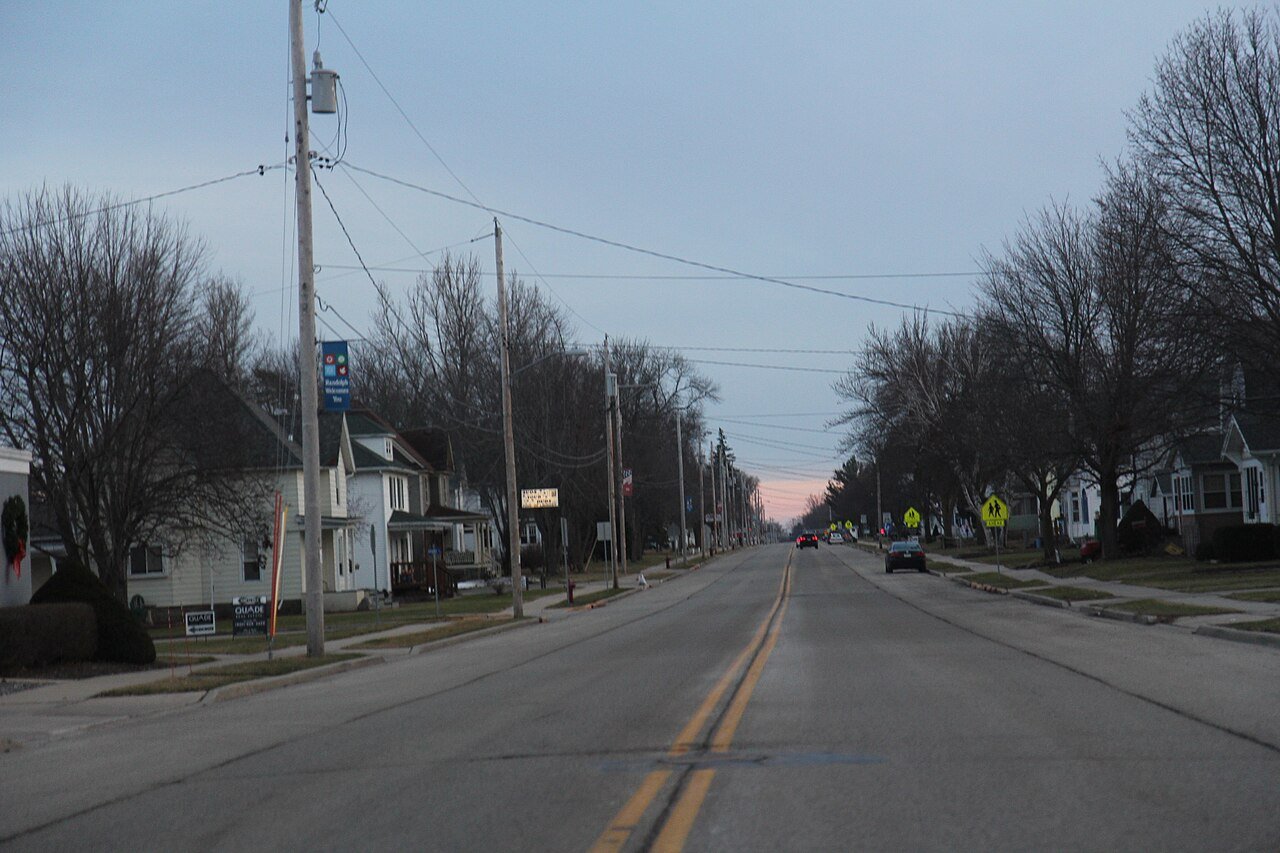
Randolph WI looking south WIS73

RandolphWI

A town of 1,642.

4 bordering townsMap →
Photo: Royalbroil · CC BY-SA 3.0
Population
1,642
−0.8% since 2010
Median home value
$177K
Census ACS
Household income
$59K
median
Median age
35.9
years
Jobs based here
739
Balanced

Randolph’s report card

See the data ↓

Now in Randolph

Be the first to start the conversation.

Be the first neighbor to joinJoin Randolph →
Residents weigh in
Live in Randolph? Is a C+ for its schools right?
Your answer becomes a post in Randolph’s Town Square.
Start a conversation
51°
Clear
H 73° · L 58°

Local news

All →

Upcoming events

Nothing on the calendar.

The data

Ordered by what stands out in Randolph. Another town gets a different order.

Natural hazards

Low risk, with inland flooding at the top

Expected storm and flood damage is higher than in 22% of U.S. communities.

22risk score of 100
FEMA risk score
22Low riskLowerHigher
Inland floodingCold wavesTornadoes
4
federal disasters paid out here
FEMA National Risk Index · OpenFEMANatural hazards →
Climate

Snowy winters, pleasant summers

Randolph has cold, snowy winters and pleasant summers. A typical July afternoon reaches 82°, a January night drops to 9°, and about 43 inches of snow falls in a normal winter.

43″snow a winter

Typical low → high °F

Winter13–29°
Spring34–55°
Summer58–80°
Fall38–58°
Oct 11
typical first frost
May 1
typical last frost
+1.1°
vs. the 20th-century average
NOAA U.S. Climate Normals, 1991–2020Full climate →
Work & commute

Most working residents commute out of Randolph

Most working residents leave Randolph for work: only 5% work in town. The top destinations are Madison (12%), Beaver Dam (10%) and Columbus (5%). Half commute less than 27 miles.

5%work in town

Where working residents work

In Randolph5%
Madison12%
Beaver Dam10%
Columbus5%
Portage3%
27 mi
median commute distance
739
jobs based in Randolph
Balanced
jobs vs. working residents
Census LEHD 2023 · ACSCommute map →
Schools

Randolph’s public schools outperform 42% of Wisconsin districts

The public schools Randolph’s kids attend trail 58% of Wisconsin’s districts on state tests. Among towns with similar incomes, they sit near the middle.

C+School Grade
SchoolGradesStudentsGrade
Randolph ElementaryPK–5195B−
Randolph Middle School6–8117Not graded
Randolph High9–12161C
Faith Christian School PrivateK–1267
NCES · EDFacts · graded within WI on state testsAll 4 schools →
Health

Healthier than 53% of U.S. towns

Randolph beats the Wisconsin average on 1 of 32 CDC measures and trails it on 1.

B−Health Grade
32 measures vs. Wisconsin
1 better30 too close to call1 worse
What stands outRandolphWI
Fewer older adults who have lost all their teeth6.6%9.9%
More adults who have had cancer9.6%8.6%
Marshfield Medical Center - Beaver Dam (Mmc-Bd)
10.8 mi away · emergency room
None
primary care, dental or mental-health shortage
43rd
percentile among WI towns
CDC PLACES 2025 · modeled estimates for adults · CMS · HRSAFull health report →
Housing

Homes in Randolph sell for about $169K

The median sale price was $169,000 in May 2026.

$169Kmedian sale price
1
homes sold in May
Zillow Home Value Index · Redfin Data CenterHousing market →
Outdoors

0% of Randolph is conserved land

0.0 miles of trails across 1 parks and preserves.

0%conserved
Map of Randolph: conserved land, trails and the top places to walk
Green: conserved land · dashed: trails · numbers: the places below
0%
conserved · 0 of 792 acres
0.0 mi
of trails · 0 per sq mi
Biggest places to walkTrailsAcres
1. Village Park—12
Trails & parks © OpenStreetMap contributors · Conserved land: USGS PAD-USParks & trails →
Hutchinson Memorial Library
Hutchinson Memorial Library · National Register of Historic Places
Randolph’s story

Randolph in pictures

1 places on the National Register of Historic Places.

Explore the history →
About Randolph

Village in Wisconsin, United States

Official town website ↗

Randolph is a village in Columbia and Dodge counties in the U.S. state of Wisconsin. The population was 1,796 at the 2020 census. Of this, 1,338 were in Dodge County, and 458 were in Columbia County. The village is located at the southeast corner of the Town of Randolph in Columbia County, although only a tiny portion of the village lies within the town. Most of the village lies within the Town of Westford in Dodge County. Small portions also lie within the Town of Fox Lake (also in Dodge County) to the north and the Town of Courtland in Columbia County. The Dodge County portion of Randolph is part of the Beaver Dam Micropolitan Area, while the Columbia County portion is part of the Madison…

From Wikipedia, licensed CC BY-SA 4.0 · facts via Wikidata (CC0)

Population
1,796
Area
1.2 sq mi
Elevation
978 ft
ZIP code
53956, 53957

Randolph’s neighbors

4 towns share a border with Randolph.

Explore the map →

More about Randolph

Still missing for Randolph:archive photosupcoming events

Post to Randolph

We’ll email a one-tap link to publish your post. No password, and nothing is public until you click it.
Already a member? Sign in
Photo of Randolph

Randolph, WI · Photo: Royalbroil · CC BY-SA 3.0 · Source ↗