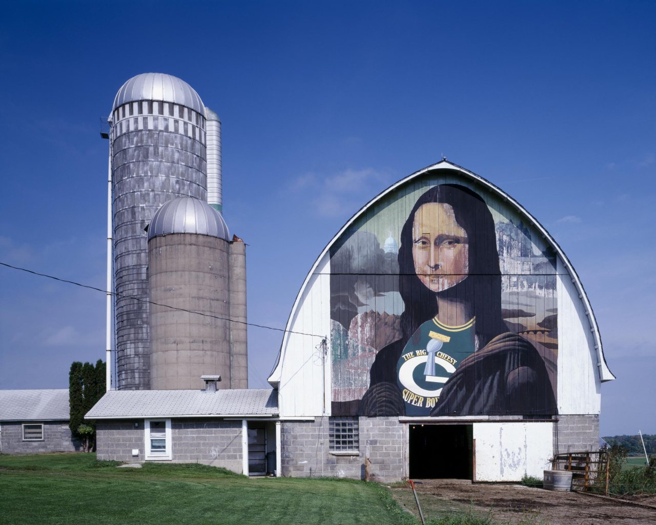
1990 · Mona Lisa barn art, Wisconsin · Library of Congress
Cornell’s story
Cornell in pictures
11 postcards, papers and photographs from public archives, and 1 places on the National Register.
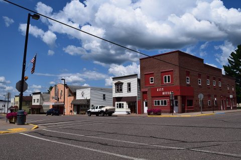
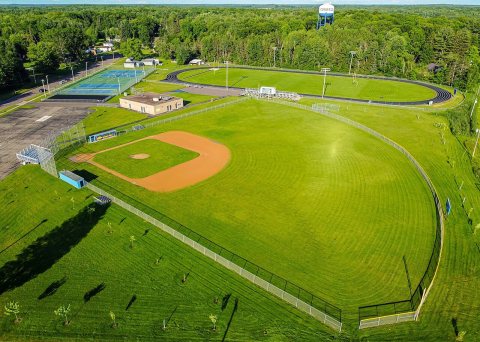
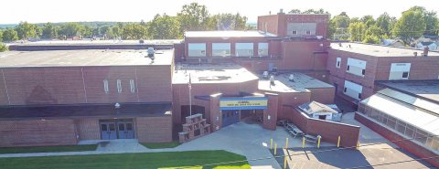
A town of 1,307. Public schools that outperform most of Wisconsin.
The 3 things Cornell does most differently from other towns.
In a town this size, neighbors are the best guide. Ask them anything.
Be the first to start the conversation.
Ordered by what stands out in Cornell. Another town gets a different order.
The public schools Cornell’s kids attend outperform 89% of Wisconsin’s districts on state tests. Among towns with similar incomes, they rank near the top.
| School | Grades | Students | Grade |
|---|---|---|---|
| Cornell Elementary | PK–5 | 209 | A |
| Cornell Middle | 6–8 | 83 | B− |
| Cornell High | 9–12 | 100 | C− |
Cornell beats the Wisconsin average on 0 of 32 CDC measures and trails it on 9.
| What stands out | Cornell | WI |
|---|---|---|
| More adults with COPD | 8.9% | 6.5% |
| More smokers | 17.7% | 13.6% |
| More adults with heart disease | 8.5% | 6.6% |
Expected storm and flood damage is higher than in 23% of U.S. communities.
The typical Cornell home is worth about $236,000, up 4.2% in a year, 30% below the Wisconsin typical home.
Cornell has cold, snowy winters and pleasant summers. A typical July afternoon reaches 80°, a January night drops to 4°, and about 42 inches of snow falls in a normal winter.
Most working residents leave Cornell for work: only 14% work in town. The top destinations are Eau Claire (14%), Chippewa Falls (12%) and Cadott (4%). Half commute less than 20 miles.
Cornell's reported crime rate is below Wisconsin's. 4 violent crimes were reported in 2025.
0.4 miles of trails across 3 parks and preserves.
| Biggest places to walk | Trails | Acres |
|---|---|---|
| 1. Brunet Island State Park | 0.4 mi | 98 |
| 2. Mill Yard Park | — | 16 |
| 3. Brunet Falls Park | — | 1 |
11 postcards, papers and photographs from public archives, and 1 places on the National Register.
City in Wisconsin, United States
Cornell is a city in Chippewa County, Wisconsin, United States. The population was 1,453 at the 2020 census, down from 1,467 at the 2010 census. It is located on the Chippewa River, upstream from Lake Wissota and Chippewa Falls, where Highway 64 crosses the river and Highway 27.
From Wikipedia, licensed CC BY-SA 4.0 · facts via Wikidata (CC0)