VTVermont rankings

Most active towns in Vermont

Ranked by the share of adults who get no exercise outside of work, as estimated by the CDC. 74 towns with 2,500+ residents.
CDC PLACES health estimates, 2025 release

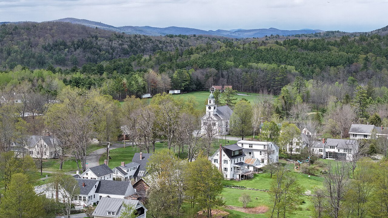
Underhill
Vermont · Most active

Where Underhill lands: #4 of 74

13% of adults get no exercise (CDC estimate) · Visit Underhill →
#TownGet no exerciseLikely rangePopulation
T1 Richmond RichmondChittenden County · 4,159 people 12% 10–14% 4,159
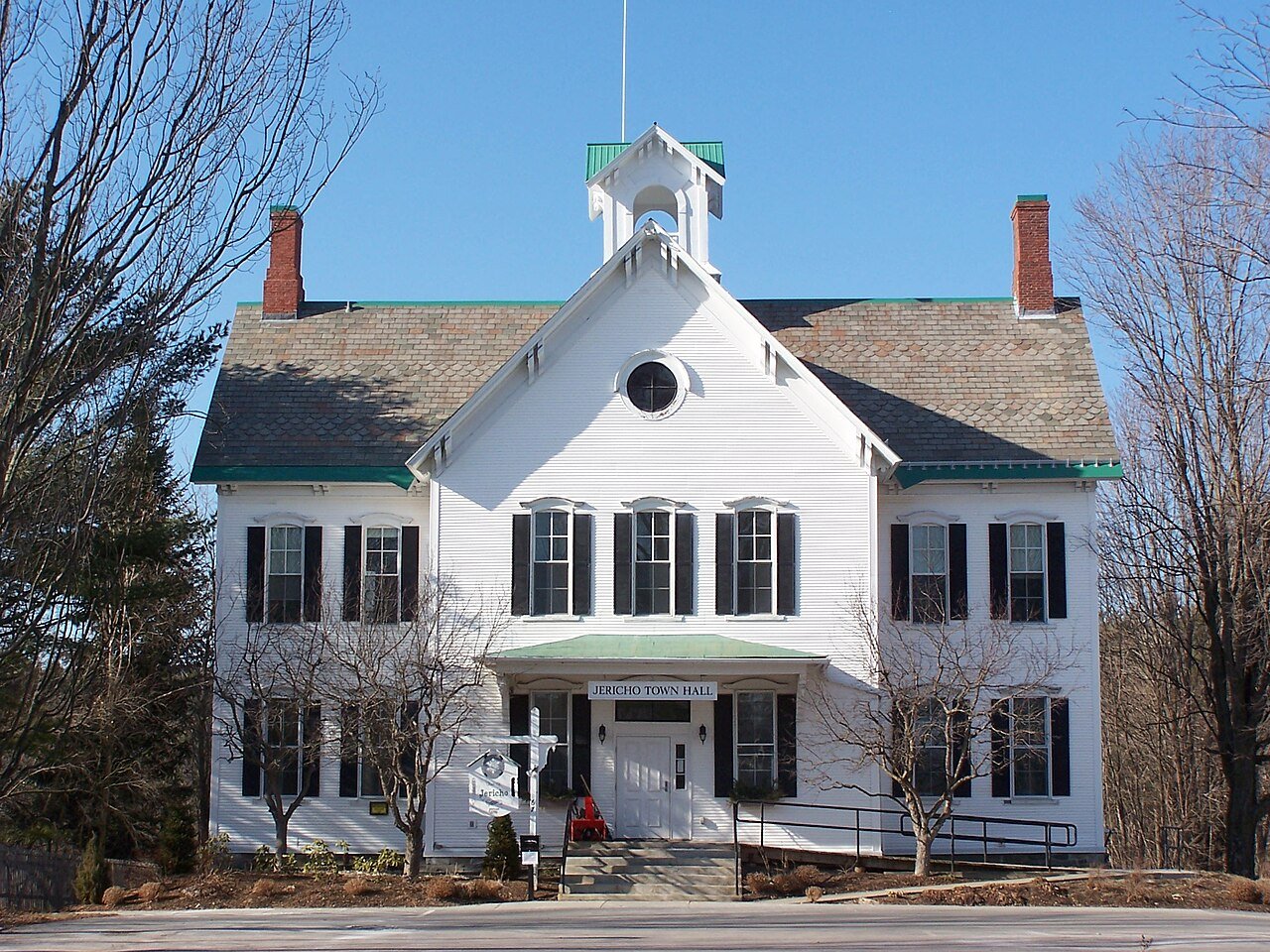
T1 Jericho JerichoChittenden County · 5,114 people 12% 10–14% 5,114
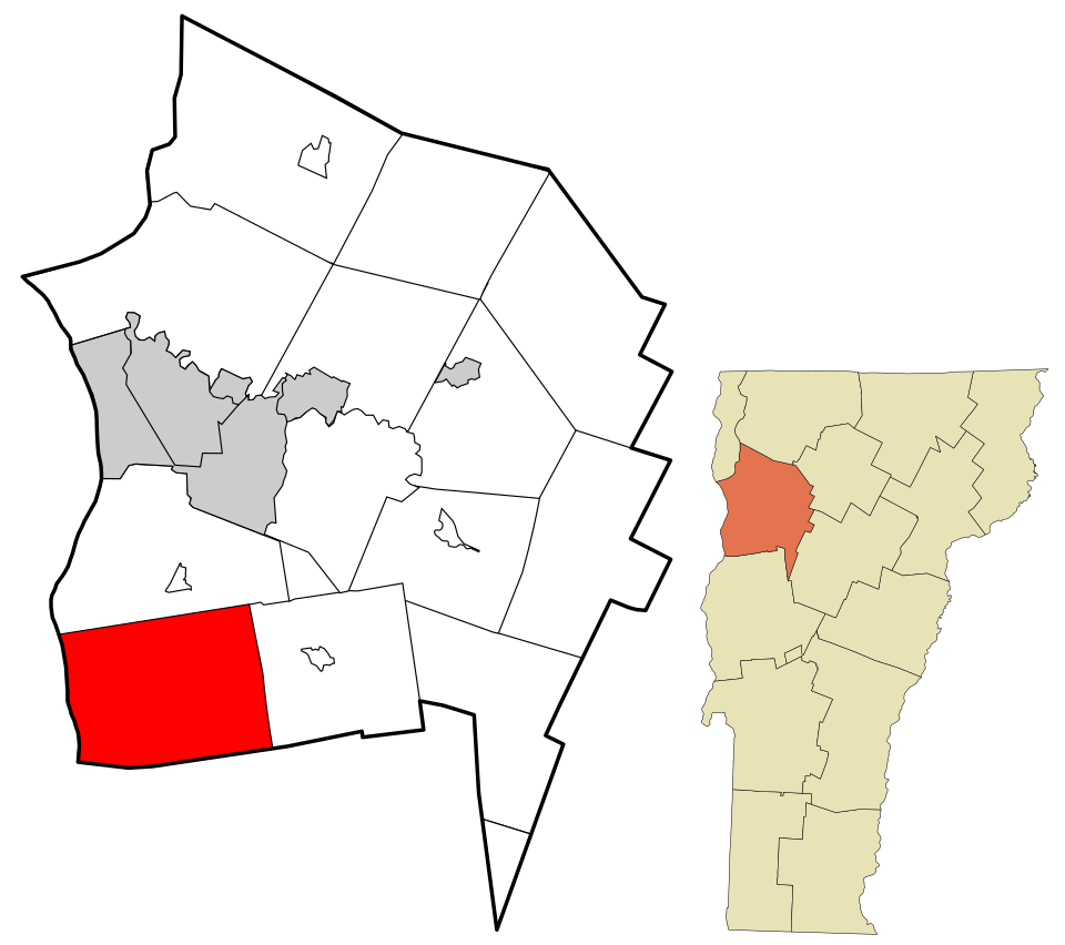
T1 Map of Charlotte CharlotteChittenden County · 3,916 people 12% 9–14% 3,916
T4 Williston WillistonChittenden County · 10,144 people 13% 11–16% 10,144
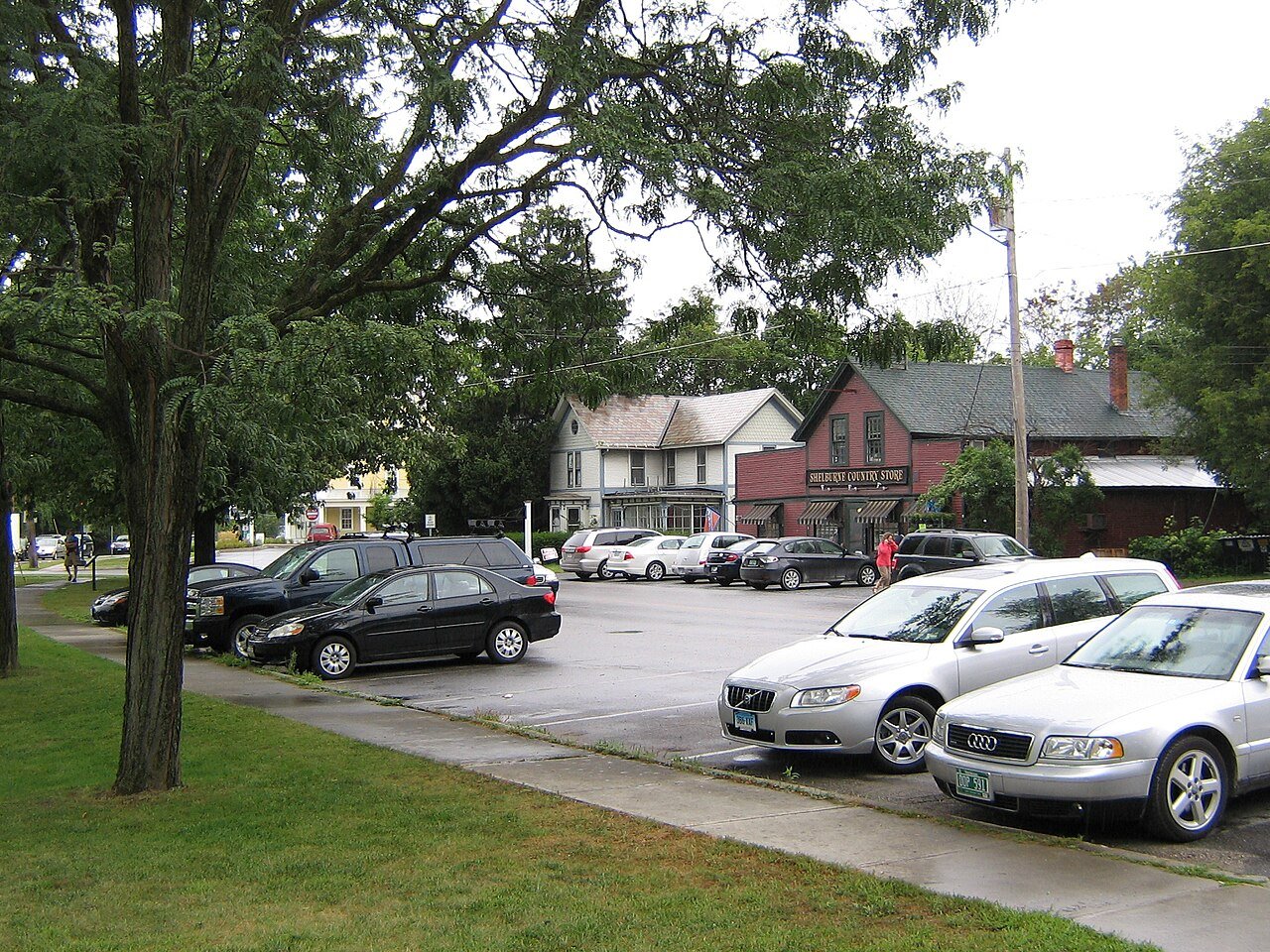
T4 Shelburne ShelburneChittenden County · 7,969 people 13% 11–15% 7,969
T4 Map of South Burlington South Burlington20,756 people 13% 11–16% 20,756
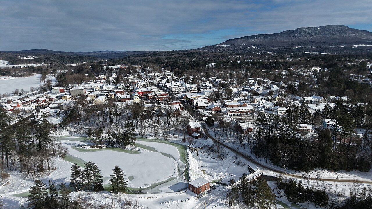
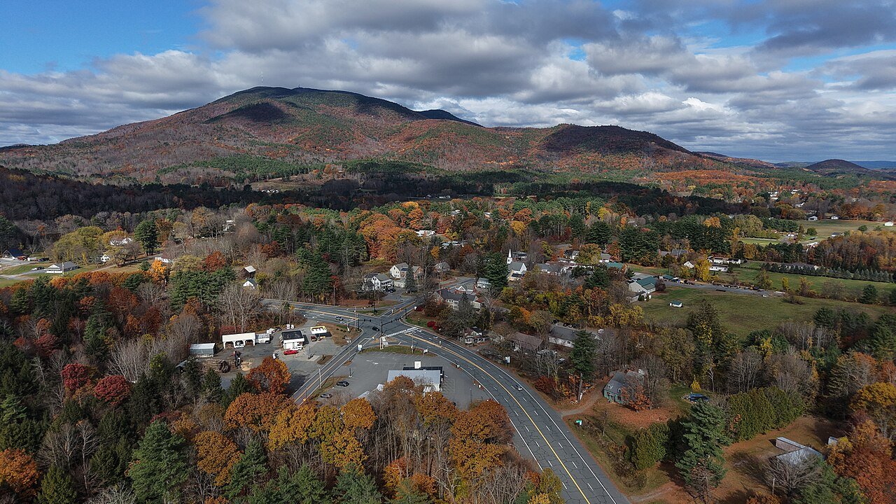
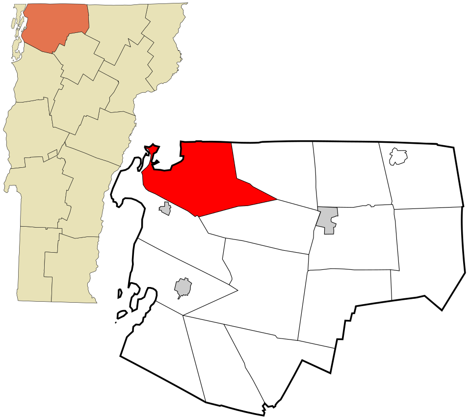
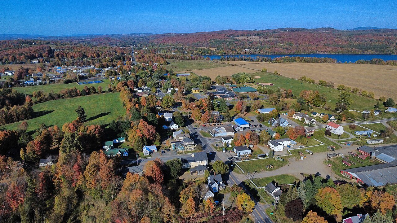
T4 Underhill UnderhillChittenden County · 3,141 people 13% 11–16% 3,141
T8 Hinesburg HinesburgChittenden County · 4,718 people 14% 11–16% 4,718
T8 Norwich NorwichWindsor County · 3,640 people 14% 11–17% 3,640
T8 Essex EssexChittenden County · 11,516 people 14% 12–16% 11,516
T8 Essex Junction Essex Junction10,803 people 14% 12–17% 10,803
T12 Winooski Winooski8,293 people 15% 13–17% 8,293
T12 Waterbury WaterburyWashington County · 5,405 people 15% 13–18% 5,405
T14 Burlington Burlington44,675 people 16% 14–18% 44,675
T14 Colchester ColchesterChittenden County · 17,648 people 16% 13–18% 17,648
T14 Montpelier Montpelier8,014 people 16% 13–19% 8,014
T14 Stowe StoweLamoille County · 5,285 people 16% 13–20% 5,285
T14 Fairfax FairfaxFranklin County · 5,226 people 16% 13–19% 5,226
T19 East Montpelier East MontpelierWashington County · 2,612 people 17% 14–20% 2,612
T19 Ferrisburgh FerrisburghAddison County · 2,661 people 17% 14–20% 2,661
T19 Milton MiltonChittenden County · 10,769 people 17% 15–19% 10,769
T19 Cambridge CambridgeLamoille County · 3,767 people 17% 14–20% 3,767
T19 Middlebury MiddleburyAddison County · 9,175 people 17% 15–20% 9,175
T19 Woodstock WoodstockWindsor County · 3,027 people 17% 14–21% 3,027
T25 Bristol BristolAddison County · 3,778 people 18% 16–22% 3,778
T25 Berlin BerlinWashington County · 2,880 people 18% 16–21% 2,880
T27 Thetford ThetfordOrange County · 2,813 people 19% 15–23% 2,813
T27 Arlington ArlingtonBennington County · 2,598 people 19% 15–22% 2,598
T27 Putney PutneyWindham County · 2,622 people 19% 16–22% 2,622
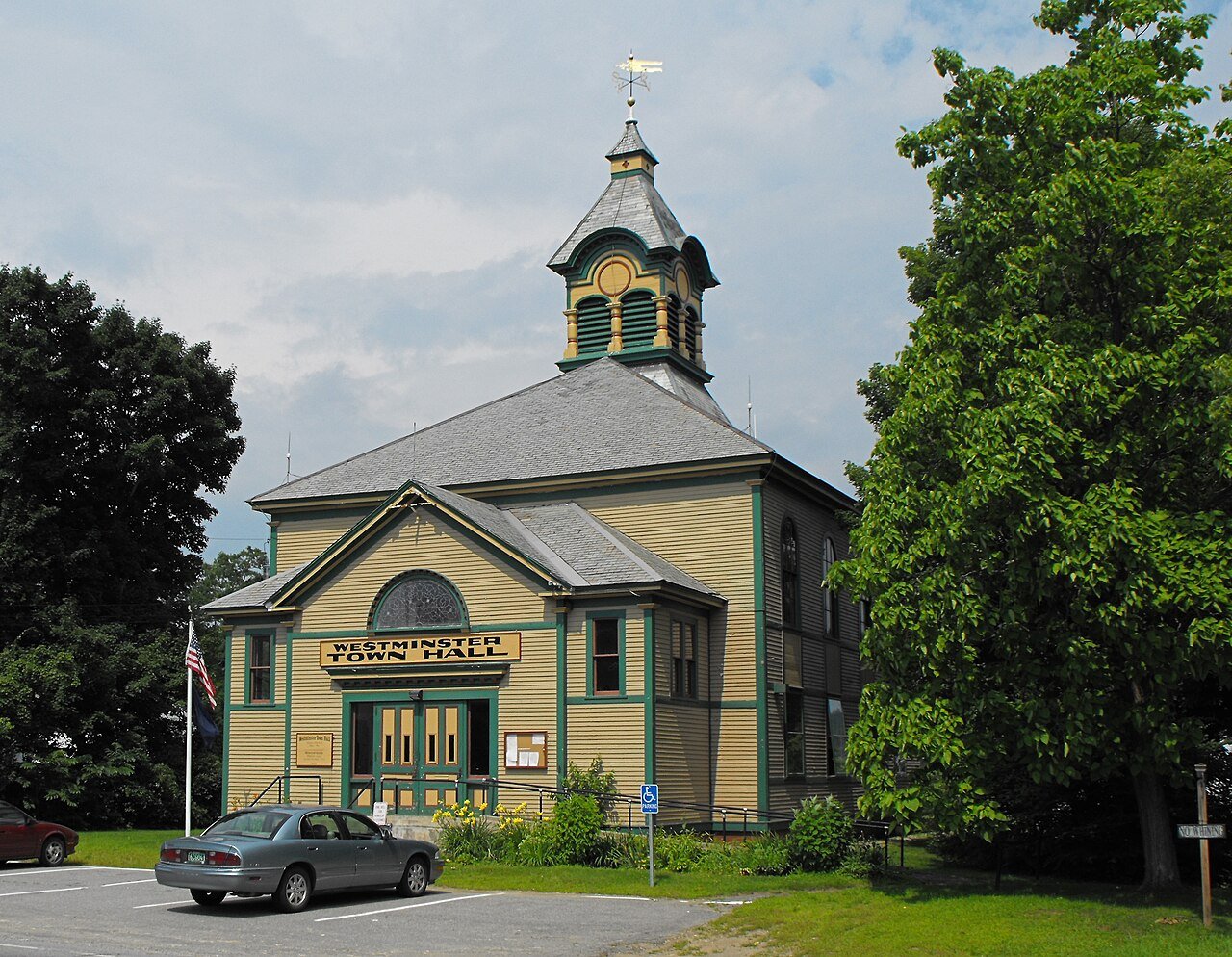
T27 Westminster WestminsterWindham County · 2,999 people 19% 16–22% 2,999
T27 Hartford HartfordWindsor County · 10,736 people 19% 16–22% 10,736
T27 Chester ChesterWindsor County · 2,992 people 19% 16–22% 2,992
T27 Northfield NorthfieldWashington County · 5,920 people 19% 16–22% 5,920
T27 Hartland HartlandWindsor County · 3,460 people 19% 16–23% 3,460
T27 Shaftsbury ShaftsburyBennington County · 3,607 people 19% 16–23% 3,607
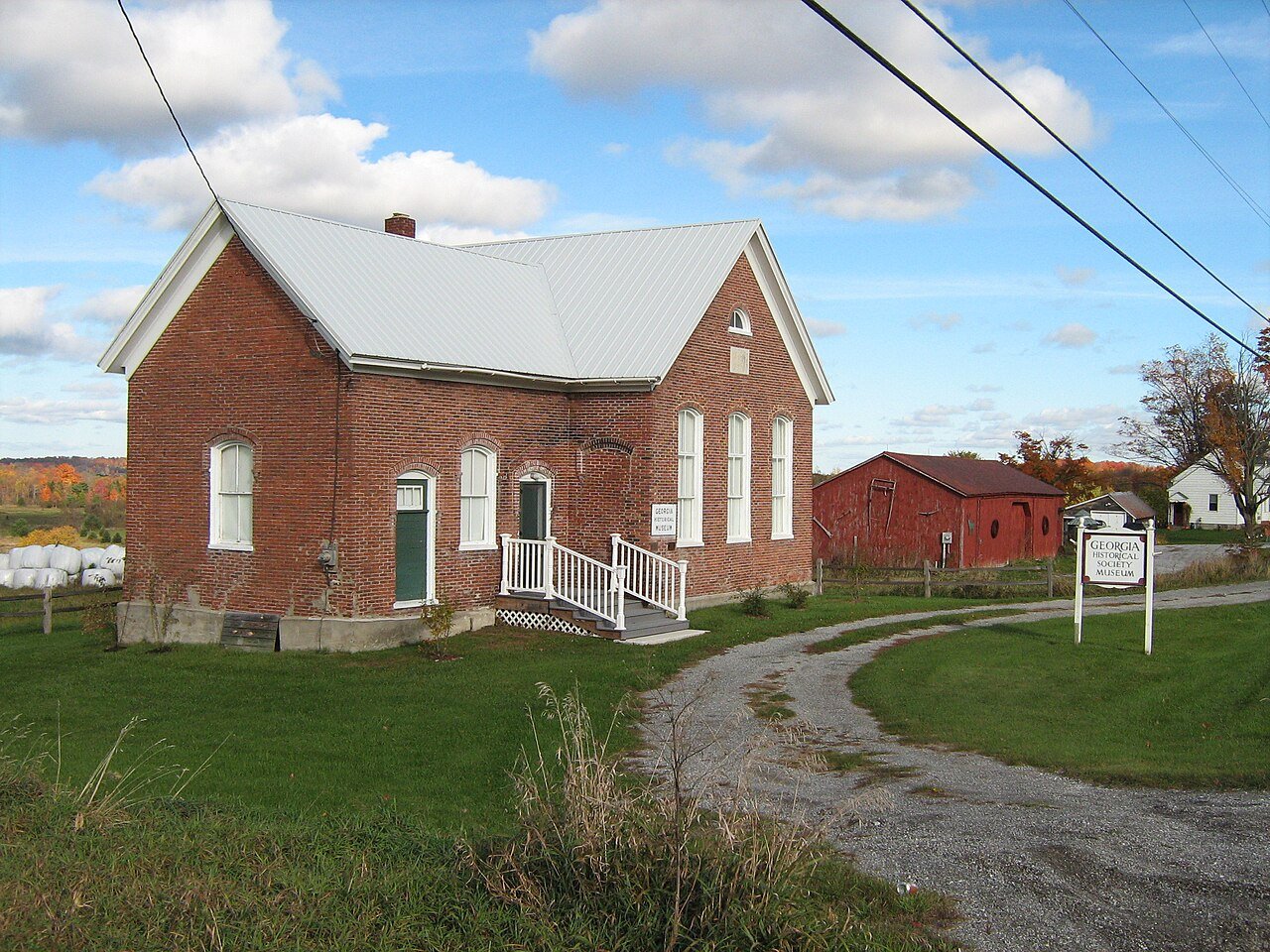
T27 Georgia GeorgiaFranklin County · 4,890 people 19% 17–22% 4,890
T27 Johnson JohnsonLamoille County · 3,450 people 19% 16–23% 3,450
T38 Manchester ManchesterBennington County · 4,486 people 20% 16–23% 4,486
T38 Royalton RoyaltonWindsor County · 2,752 people 20% 17–23% 2,752
T38 Windsor WindsorWindsor County · 3,554 people 20% 17–23% 3,554
T38 Vergennes Vergennes2,565 people 20% 16–24% 2,565
T38 Map of Rockingham RockinghamWindham County · 4,807 people 20% 17–23% 4,807
T38 Castleton CastletonRutland County · 4,453 people 20% 17–24% 4,453
T38 Brattleboro BrattleboroWindham County · 12,122 people 20% 18–24% 12,122
T45 Morristown MorristownLamoille County · 5,722 people 21% 17–25% 5,722
T45 Randolph RandolphOrange County · 4,843 people 21% 18–25% 4,843
T45 Weathersfield WeathersfieldWindsor County · 2,856 people 21% 18–25% 2,856
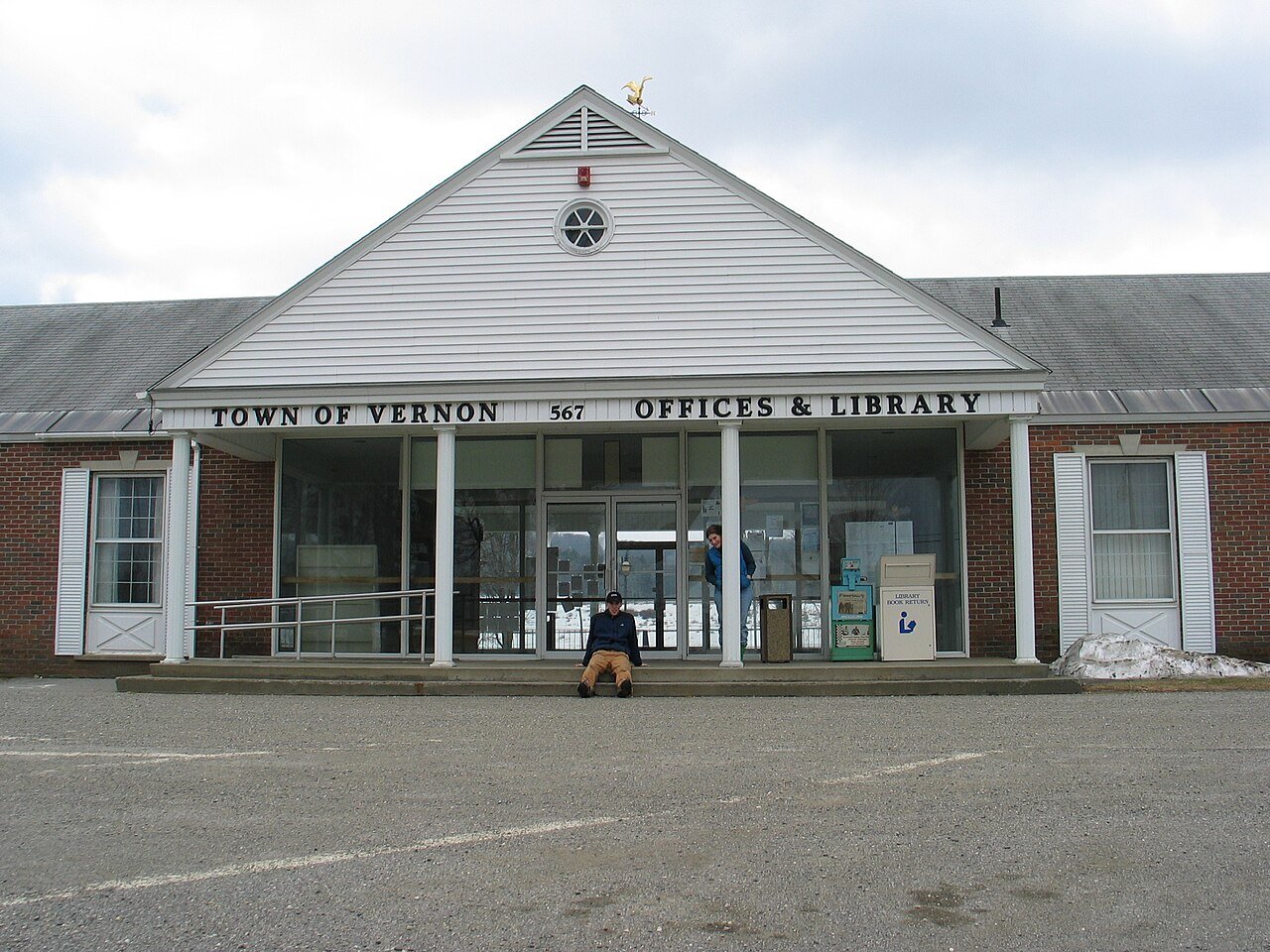
T45 Vernon VernonWindham County · 2,709 people 21% 17–25% 2,709
T45 Morrisville Morrisville2,664 people 21% 17–26% 2,664
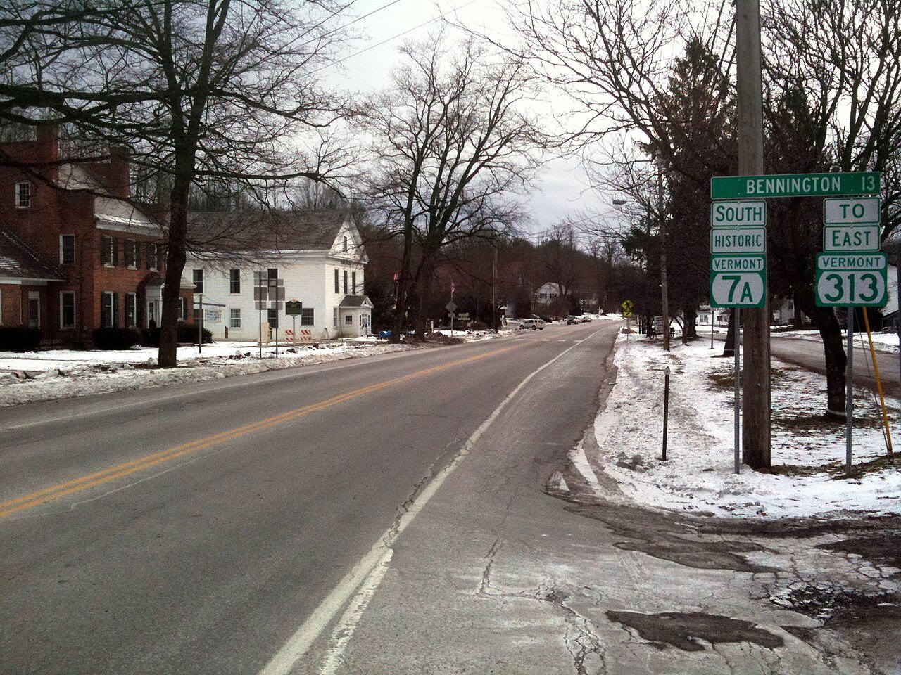
T45 Bennington BenningtonBennington County · 15,249 people 21% 18–25% 15,249
T45 Poultney PoultneyRutland County · 3,010 people 21% 18–25% 3,010
T52 Pownal PownalBennington County · 3,265 people 22% 18–25% 3,265
T52 Bradford BradfordOrange County · 2,827 people 22% 18–26% 2,827
T52 Hyde ParkLamoille County · 3,000 people 22% 18–26% 3,000
T52 Pittsford PittsfordRutland County · 2,892 people 22% 19–26% 2,892
T52 Bellows Falls Bellows Falls2,891 people 22% 19–26% 2,891
T57 SwantonFranklin County · 6,820 people 23% 19–26% 6,820
T57 RutlandRutland County · 3,927 people 23% 19–26% 3,927
T57 Williamstown WilliamstownOrange County · 3,579 people 23% 19–27% 3,579
T57 Brandon BrandonRutland County · 4,120 people 23% 20–26% 4,120
T57 Map of Highgate HighgateFranklin County · 3,528 people 23% 20–27% 3,528
T57 Enosburgh EnosburghFranklin County · 2,804 people 23% 20–27% 2,804
T63 Fair Haven Fair HavenRutland County · 2,724 people 24% 20–27% 2,724
T63 Swanton2,670 people 24% 20–28% 2,670
T63 Barton BartonOrleans County · 2,815 people 24% 20–28% 2,815
T63 Hardwick HardwickCaledonia County · 2,965 people 24% 20–28% 2,965
T63 Lyndon LyndonCaledonia County · 5,590 people 24% 20–28% 5,590
T63 Rutland15,712 people 24% 21–28% 15,712
T63 Springfield SpringfieldWindsor County · 9,084 people 24% 21–28% 9,084
T70 BarreWashington County · 8,412 people 25% 21–28% 8,412
T70 Derby DerbyOrleans County · 4,537 people 25% 21–29% 4,537
T70 St. Johnsbury St. JohnsburyCaledonia County · 7,368 people 25% 21–29% 7,368
73 St. AlbansFranklin County · 6,954 people 26% 22–30% 6,954
74 Newport4,394 people 28% 23–32% 4,394

How this ranking works

We rank every town by the share of adults who get no exercise outside of work, as estimated by the CDC. The lowest share ranks as the most active. The lowest share ranks #1. Across Vermont it’s 19%.

These are the CDC’s modeled estimates, not a count: national survey answers combined with each area’s age, sex, race and income mix. Each carries a likely range (shown in the table), so we rank on the whole percent and towns at the same figure share a rank (T = tied). Differences of a point or two are within the estimates’ margins.

Cities and villages use the CDC’s own estimate for that place. New England towns and townships, which the CDC doesn’t publish, use the ZIP codes that cover them, weighted by land area.

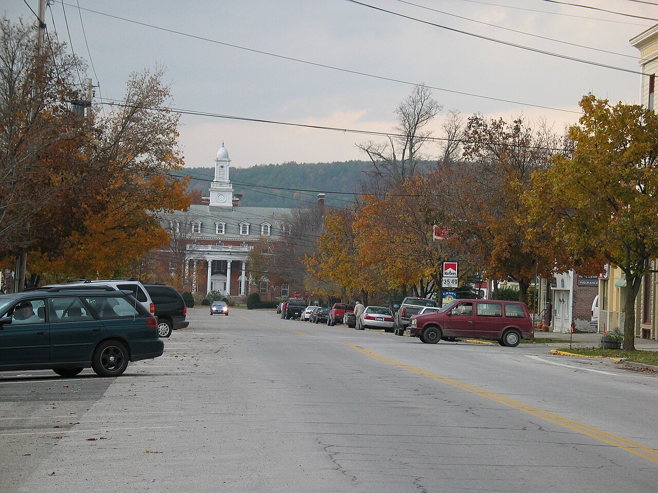
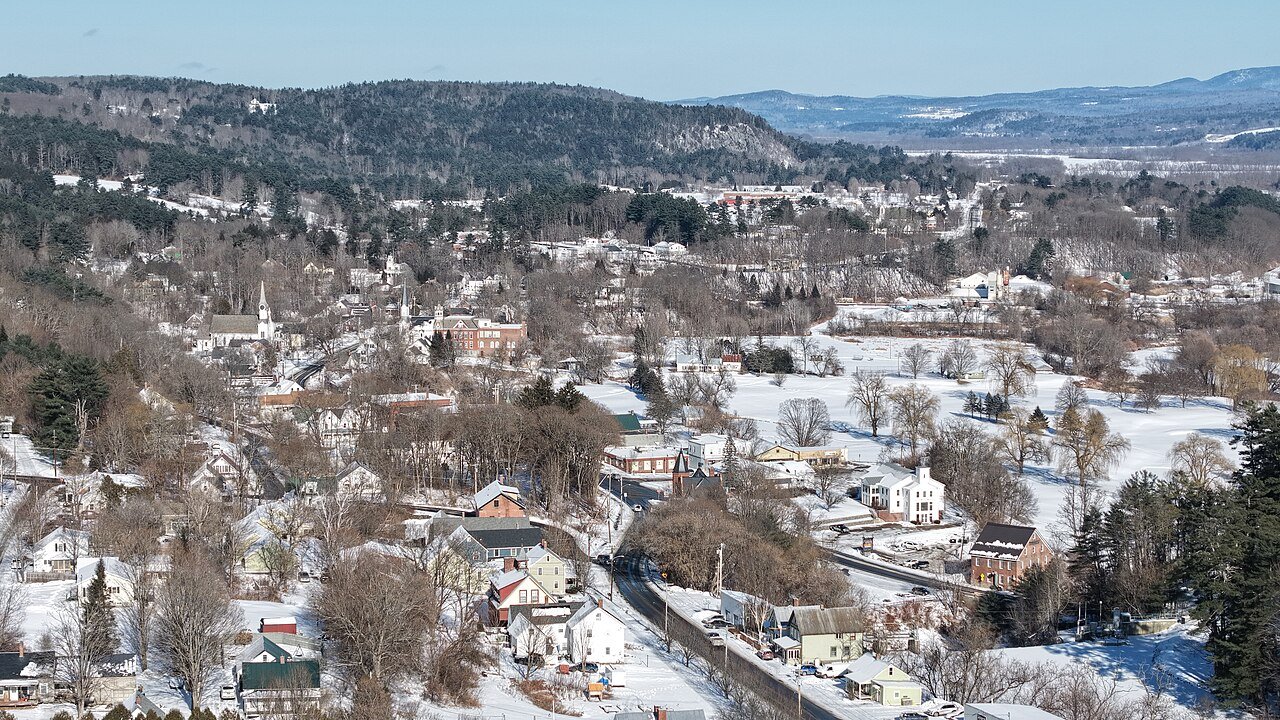
Only towns with at least 2,500 residents are ranked; Census estimates for smaller places are too uncertain. Population and income: U.S. Census Bureau American Community Survey 5-year estimates. Health estimates: CDC PLACES. Town photos: Wikimedia Commons, credited on each town’s page.

Same ranking in other states