← How Highgate ranks
Vermont rankings · Climate Towns with the coolest summers in Vermont Ranked by the typical afternoon high in July, 1991–2020, from NOAA’s gridded climate normals for each town. Neighboring towns on the same 5 km grid square have the same numbers, so each square is listed once, under its largest town. 73 towns with 2,500+ residents.
The race around Highgate
Just behind Fairfax, just ahead of Montpelier All 73 towns July high, lowest first. Towns next door to Highgate are tagged.
# Town July high Days at 90°+ July low
1
Barton Orleans County · 2,815 people 76.4° 1 55°
2
Arlington Bennington County · 2,598 people 76.4° 3 54°
3
Underhill Chittenden County · 3,141 people 77.0° 1 57°
4
Derby Orleans County · 4,537 people 77.3° 3 56°
5
Hyde Park Lamoille County · 3,000 people 77.5° 0 56°
6
Morristown Lamoille County · 5,722 people 77.6° 4 56°
7
Stowe Lamoille County · 5,285 people 77.7° 4 56°
8
Hardwick Caledonia County · 2,965 people 77.7° 4 55°
11
Johnson Lamoille County · 3,450 people 78.3° 0 57°
12
Berlin Washington County · 2,880 people 78.3° 2 55°
13
Bristol Addison County · 3,778 people 78.4° 7 56°
15
Northfield Washington County · 5,920 people 78.8° 2 55°
16
Cambridge Lamoille County · 3,767 people 78.8° 4 58°
17
Enosburgh Franklin County · 2,804 people 78.9° 4 58°
18
Waterbury Washington County · 5,405 people 79.1° 1 56°
19
Randolph Orange County · 4,843 people 79.1° 3 55°
21
Lyndon Caledonia County · 5,590 people 79.2° 1 55°
23
Jericho Chittenden County · 5,114 people 79.4° 8 59°
24
Fairfax Franklin County · 5,226 people 79.6° 3 59°
25
Highgate Franklin County · 3,528 people 79.6° 3 60°
27
Chester Windsor County · 2,992 people 79.9° 8 56°
28
Barre Washington County · 8,412 people 80.0° 2 55°
29
St. Albans Franklin County · 6,954 people 80.0° 3 60°
30
Swanton Franklin County · 6,820 people · next door 80.0° 3 61°
31
Richmond Chittenden County · 4,159 people 80.0° 8 59°
32
Norwich Windsor County · 3,640 people 80.0° 9 56°
33
Woodstock Windsor County · 3,027 people 80.0° 7 56°
35
Shaftsbury Bennington County · 3,607 people 80.1° 3 57°
36
Essex Chittenden County · 11,516 people 80.2° 8 60°
37
Rutland Rutland County · 3,927 people 80.2° 4 56°
38
Bradford Orange County · 2,827 people 80.2° 1 56°
39
Georgia Franklin County · 4,890 people 80.3° 3 61°
40
Milton Chittenden County · 10,769 people 80.4° 6 60°
41
Williston Chittenden County · 10,144 people 80.4° 8 60°
42
Manchester Bennington County · 4,486 people 80.4° 3 55°
43
Thetford Orange County · 2,813 people 80.5° 9 56°
44
Hartland Windsor County · 3,460 people 80.6° 5 56°
45
Castleton Rutland County · 4,453 people 80.7° 4 58°
46
Windsor Windsor County · 3,554 people 80.7° 6 57°
48
Poultney Rutland County · 3,010 people 80.8° 4 58°
49
Hinesburg Chittenden County · 4,718 people 80.9° 8 59°
52
Royalton Windsor County · 2,752 people 80.9° 3 56°
53
Brattleboro Windham County · 12,122 people 81.0° 7 57°
55
Pownal Bennington County · 3,265 people 81.0° 3 58°
57
Colchester Chittenden County · 17,648 people 81.2° 6 61°
59
Rockingham Windham County · 4,807 people 81.3° 8 57°
60
Bennington Bennington County · 15,249 people 81.4° 3 58°
61
Charlotte Chittenden County · 3,916 people 81.4° 6 60°
62
Middlebury Addison County · 9,175 people 81.5° 7 58°
65
Shelburne Chittenden County · 7,969 people 81.6° 8 60°
66
Brandon Rutland County · 4,120 people 81.7° 7 57°
67
Hartford Windsor County · 10,736 people 81.9° 11 57°
69
Fair Haven Rutland County · 2,724 people 82.0° 12 59°
70
Pittsford Rutland County · 2,892 people 82.2° 4 58°
71
Ferrisburgh Addison County · 2,661 people 82.4° 12 60°
72
Putney Windham County · 2,622 people 82.9° 7 59°
73
Vernon Windham County · 2,709 people 84.2° 10 60°
We rank every town by the typical afternoon high in July, 1991–2020, from NOAA’s gridded climate normals for each town. The lowest ranks first. The town with the lowest figure ranks #1. Normals are 30-year averages, not a forecast, and each town’s Climate page shows its whole year month by month.
Temperatures and rainfall come from NOAA’s gridded normals, about 5 km (3 miles) square, read at each town’s center, so hills and coastlines are built in. Towns whose centers fall in the same square have the same numbers, so only the largest of them is listed.
Only towns with at least 2,500 residents are ranked; Census estimates for smaller places are too uncertain. Population and income: U.S. Census Bureau American Community Survey 5-year estimates. Climate: NOAA NCEI U.S. Climate Normals , 1991–2020. Town photos: Wikimedia Commons, credited on each town’s page.
More on climate in Highgate →
Tell Highgate what the numbers miss Your answer becomes a post in Highgate’s Town Square.
Weigh in
#25 of 73 for coolest summers. Does that ring true?
Agree Disagree
Ask neighbors
What would you tell someone looking at Highgate? → Who really deserves #1? → 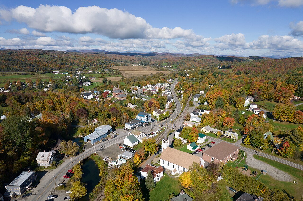 #1
#1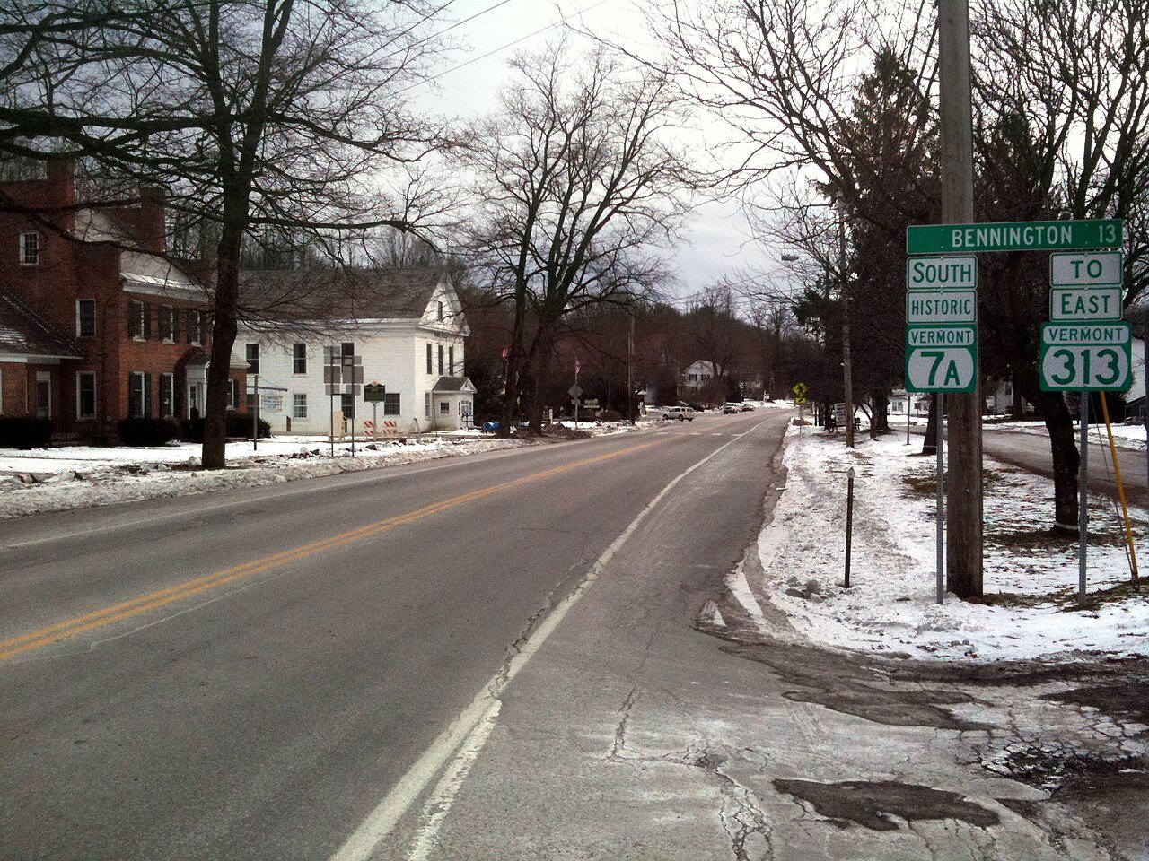 #2
#2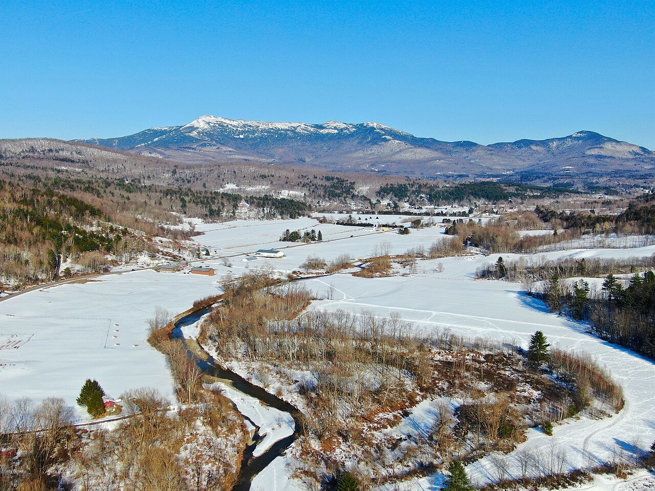 #3
#3