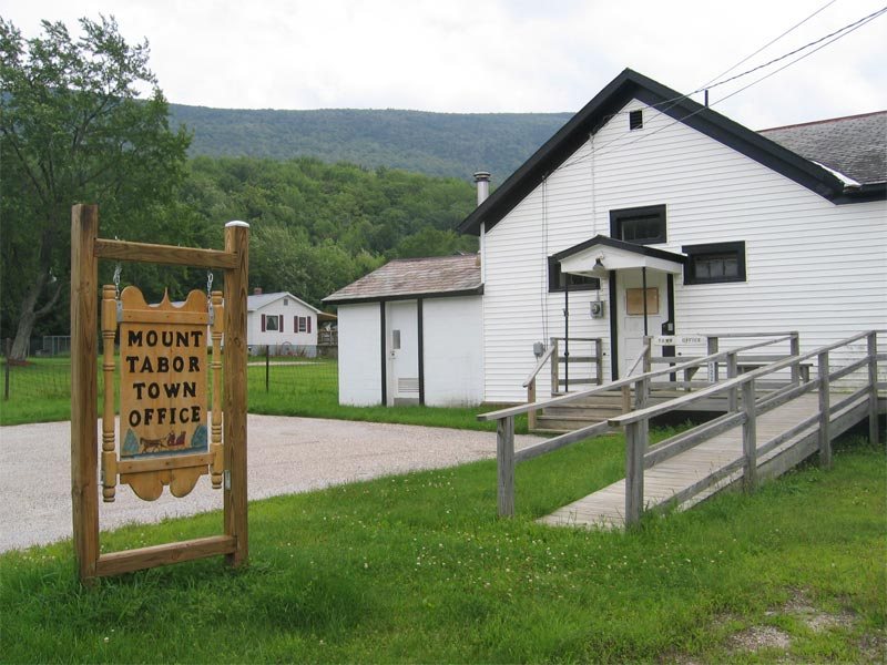
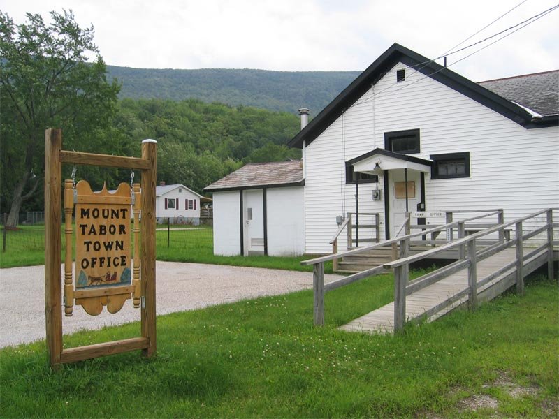
2004 · Mount tabor vermont · Wikimedia Commons
Mount Tabor’s story
Mount Tabor in pictures
2 postcards, papers and photographs from public archives.
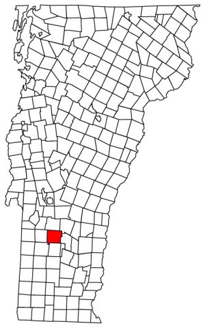
A town of 304. Nearly 95.5% of it is conserved land.
The thing Mount Tabor does most differently from other towns.
In a town this size, neighbors are the best guide. Ask them anything.
Be the first to start the conversation.
Nothing on the calendar.
Ordered by what stands out in Mount Tabor. Another town gets a different order.
40 miles of trails across 4 parks and preserves.
| Biggest places to walk | Trails | Acres |
|---|---|---|
| 1. Robert T. Stafford White Rocks National Recreation Area | 16.1 mi | 21,507 |
| 2. Big Branch Wilderness | 14.3 mi | 5,253 |
| 3. Green Mountain National Forest | 4.8 mi | 25,377 |
Most working residents leave Mount Tabor for work: only 3% work in town. The top destinations are Rutland (18%), Danby (11%) and Manchester (10%). Half commute less than 16 miles.
Mount Tabor has cold, snowy winters and cool summers, with plenty of rain. A typical July afternoon reaches 75°, a January night drops to 8°, and about 91 inches of snow falls in a normal winter.
Mount Tabor beats the Vermont average on 0 of 26 CDC measures and trails it on 8.
| What stands out | Mount Tabor | VT |
|---|---|---|
| More adults with obesity | 36.1% | 28.6% |
| More adults with COPD | 7.9% | 6.5% |
| More adults with diabetes | 10.5% | 8.8% |
Expected storm and flood damage is higher than in 49% of U.S. communities.
95.5% of the town is conserved land, across 4 parks and preserves.
2 postcards, papers and photographs from public archives.
Town in Vermont, United States
Mount Tabor is a town in Rutland County, Vermont, United States. The population was 210 at the 2020 census.
From Wikipedia, licensed CC BY-SA 4.0 · facts via Wikidata (CC0)