← How Madison ranks
South Dakota rankings · Outdoors Most walkable towns in South Dakota Ranked by street connectivity: intersections per square mile, the standard walkability measure the EPA uses. 37 towns with 2,500+ residents.
Madison’s spot
#8 of 37 70.3 / sq mi street intersections per square mile
The race around Madison
Just behind Sioux Falls, just ahead of Tea All 37 towns Intersections per sq mi, highest first. Towns next door to Madison are tagged.
# Town Intersections per sq mi Dead ends Street miles
1
Mobridge 2,932 people 144 / sq mi 7.3% 43.2 mi
2
Sisseton 2,670 people 120 / sq mi 9.1% 23.2 mi
3
Lead 3,006 people 99.5 / sq mi 18.7% 28.9 mi
4
Winner 2,905 people 99.2 / sq mi 10.3% 34.9 mi
5
Milbank 3,525 people 81.3 / sq mi 13.8% 37.3 mi
7
Sioux Falls 201,469 people 72.4 / sq mi 15.2% 1,063.4 mi
8
Madison 6,094 people 70.3 / sq mi 10% 57.2 mi
9
Tea 6,786 people 69.3 / sq mi 20.2% 47.1 mi
10
Elk Point 2,537 people 68.3 / sq mi 26.6% 18.3 mi
11
Yankton 15,540 people 66.6 / sq mi 10.7% 106.0 mi
12
Aberdeen 28,189 people 66.3 / sq mi 15.2% 182.1 mi
13
Vermillion 11,878 people 65.0 / sq mi 16% 54.7 mi
14
Huron 14,385 people 62.3 / sq mi 8.9% 118.6 mi
15
Mitchell 15,649 people 62.0 / sq mi 12% 132.5 mi
16
Canton 3,033 people 61.0 / sq mi 12.7% 31.1 mi
18
Brandon 10,996 people 59.0 / sq mi 19.8% 64.1 mi
19
Sturgis 7,086 people 58.3 / sq mi 18.4% 62.4 mi
20
Harrisburg 8,519 people 56.6 / sq mi 18.7% 50.0 mi
21
Brookings 23,948 people 55.6 / sq mi 16.2% 136.0 mi
22
Pierre 13,948 people 53.8 / sq mi 15.2% 109.4 mi
24
Rapid City 77,946 people 49.5 / sq mi 23.6% 505.8 mi
25
Watertown 23,044 people 39.7 / sq mi 11% 191.3 mi
26
Hartford 3,478 people 35.7 / sq mi 20.8% 25.6 mi
28
Blackhawk 2,934 people 34.6 / sq mi 29.4% 26.9 mi
29
Spearfish 12,930 people 34.4 / sq mi 20.8% 106.5 mi
33
Summerset 3,022 people 27.2 / sq mi 25% 14.5 mi
34
Box Elder 12,902 people 25.9 / sq mi 23.7% 86.0 mi
35
Big Sioux Union County · 4,917 people 16.5 / sq mi 17% 40.0 mi
37
Split Rock Minnehaha County · 3,143 people 5.2 / sq mi 35.8% 80.1 mi
We rank every town by street connectivity: intersections per square mile, the standard walkability measure the EPA uses. More intersections mean shorter, more direct walks, while cul-de-sac layouts with long dead ends rank lower. Sidewalks are not mapped consistently enough to rank, so this measures the street grid itself. The town with the highest figure ranks #1.
Only towns with at least 2,500 residents are ranked; Census estimates for smaller places are too uncertain. Population and income: U.S. Census Bureau American Community Survey 5-year estimates. Trails, streets and parks: © OpenStreetMap contributors (ODbL). Conserved land: USGS PAD-US . Measured within each town's Census boundary. Town photos: Wikimedia Commons, credited on each town’s page.
More on outdoors in Madison →
Tell Madison what the numbers miss Your answer becomes a post in Madison’s Town Square.
Weigh in
#8 of 37 for walkable streets. Does that ring true?
Agree Disagree
Ask neighbors
What would you tell someone looking at Madison? → Who really deserves #1? →  #1
#1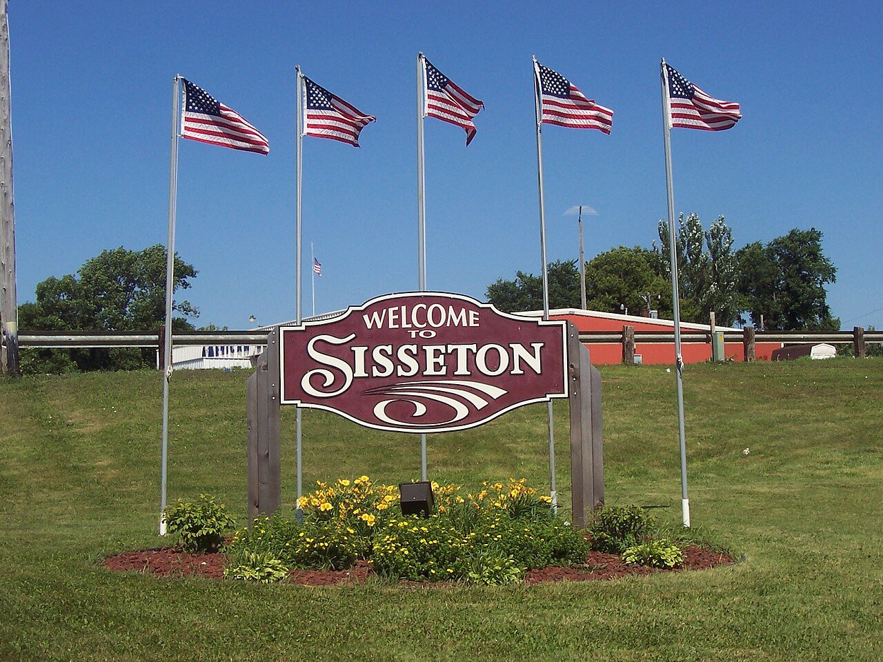 #2
#2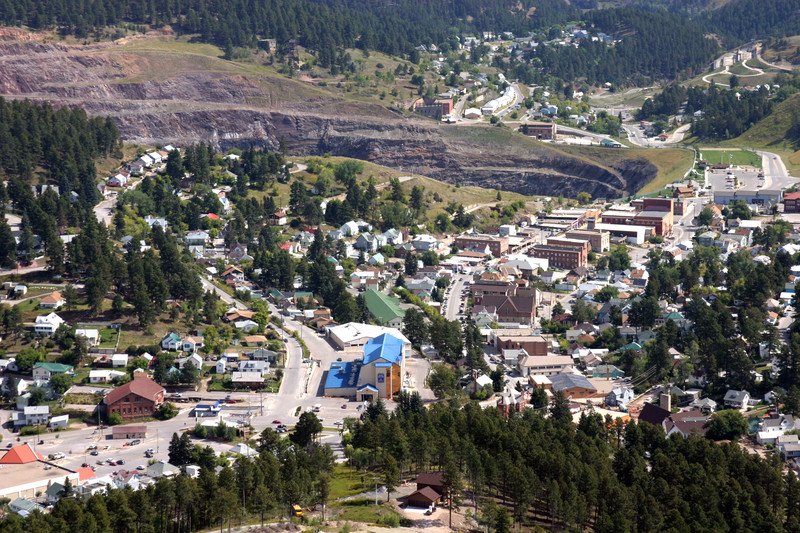 #3
#3