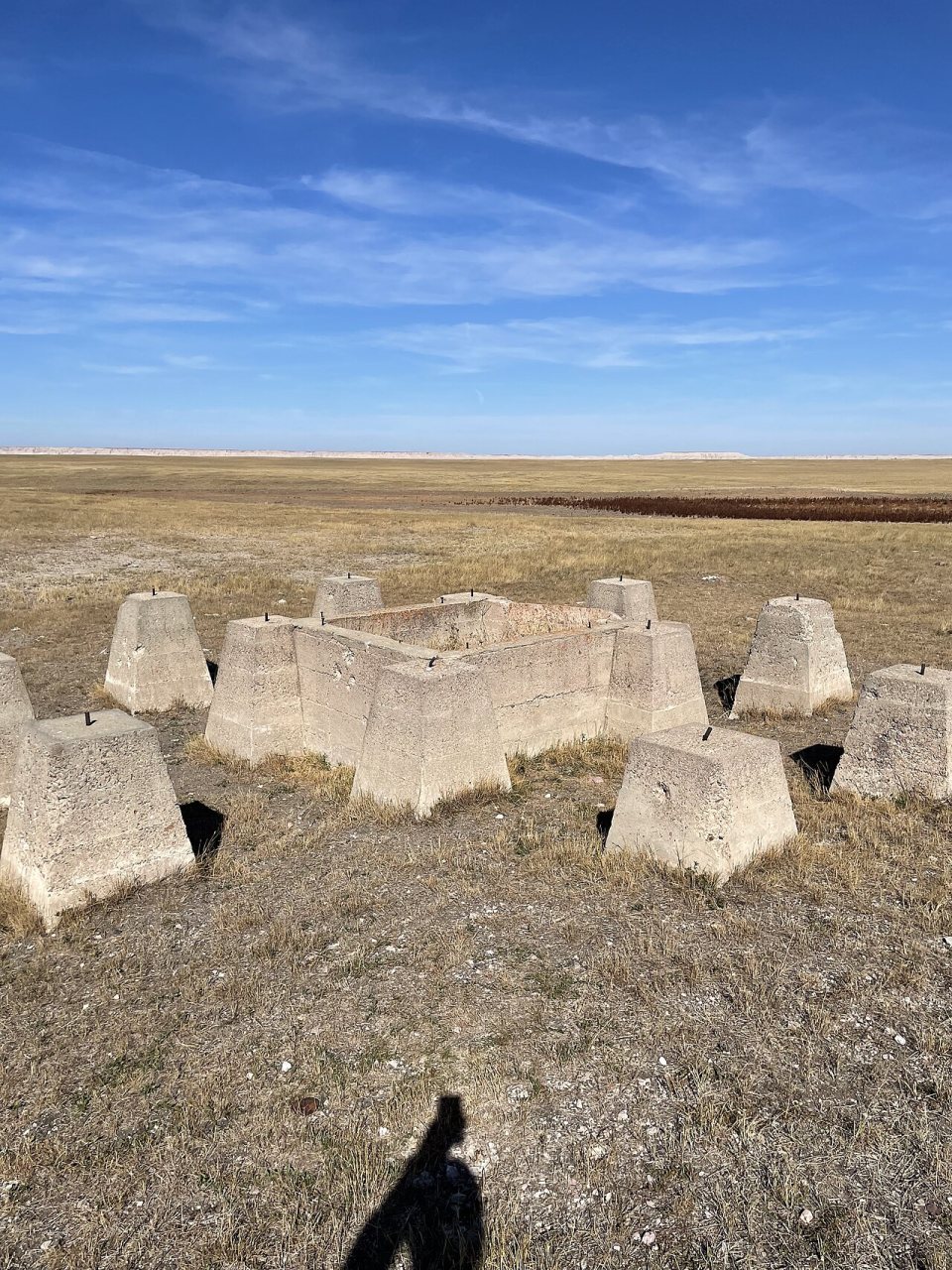
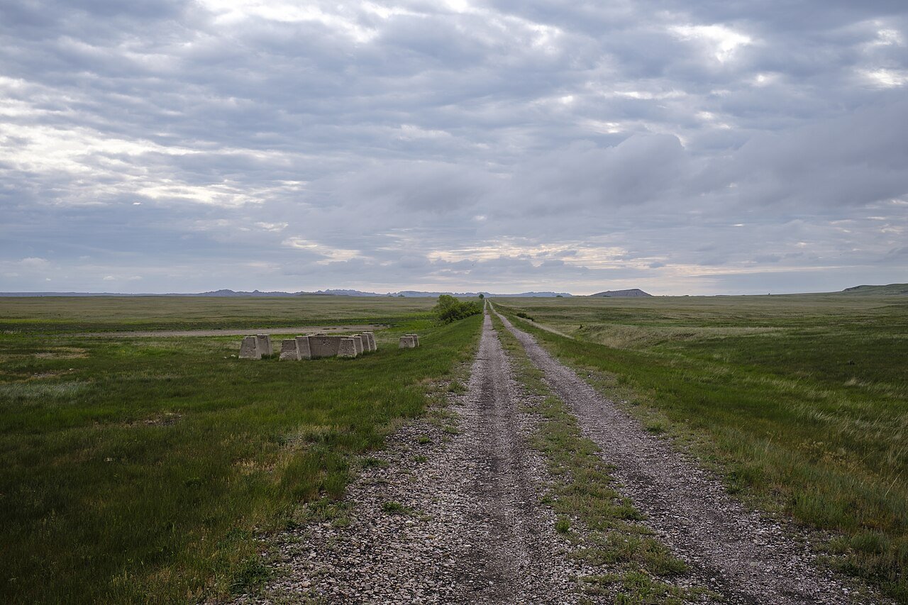
2022 · Conata Water Tower footings · Wikimedia Commons
Conata’s story
Conata in pictures
5 postcards, papers and photographs from public archives.
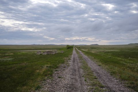
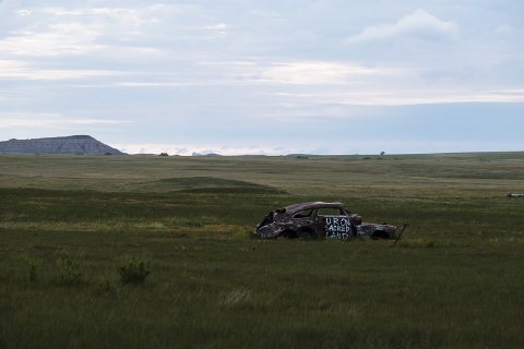
A town. Nearly 82.9% of it is conserved land.
The thing Conata does most differently from other towns.
82.9% of the town is conserved land, across 3 parks and preserves.
Be the first to start the conversation.
Ordered by what stands out in Conata. Another town gets a different order.
42 miles of trails across 3 parks and preserves.
| Biggest places to walk | Trails | Acres |
|---|---|---|
| 1. Buffalo Gap National Grassland | 21.5 mi | 30,212 |
| 2. Badlands Wilderness | 6.8 mi | 6,887 |
| 3. Badlands National Park | 4.1 mi | 14,659 |
Expected storm and flood damage is higher than in 74% of U.S. communities.
Conata has cold, snowy winters and warm summers, with very little rain. A typical July afternoon reaches 89°, a January night drops to 13°, and about 38 inches of snow falls in a normal winter.
Conata beats the South Dakota average on 0 of 26 CDC measures and trails it on 5.
| What stands out | Conata | SD |
|---|---|---|
| More adults with heart disease | 8% | 6.8% |
| More adults who have had a stroke | 4% | 3.5% |
| More adults with arthritis | 28.7% | 25.8% |
5 postcards, papers and photographs from public archives.
American ghost town
Conata is a ghost town in Pennington County, in the U.S. state of South Dakota. The GNIS classifies it as a populated place.
From Wikipedia, licensed CC BY-SA 4.0 · facts via Wikidata (CC0)
4 towns share a border with Conata.