RIRhode Island rankings

Most active towns in Rhode Island

Ranked by the share of adults who get no exercise outside of work, as estimated by the CDC. 38 towns with 2,500+ residents.
CDC PLACES health estimates, 2025 release

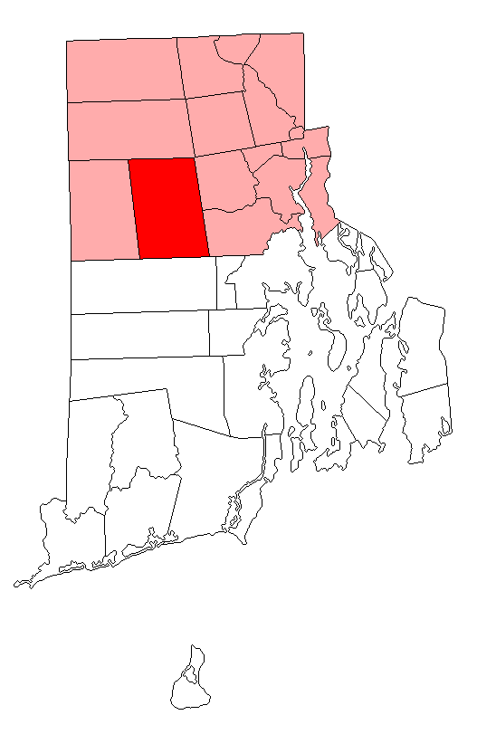
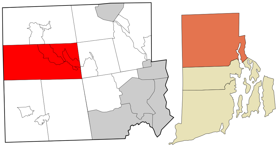
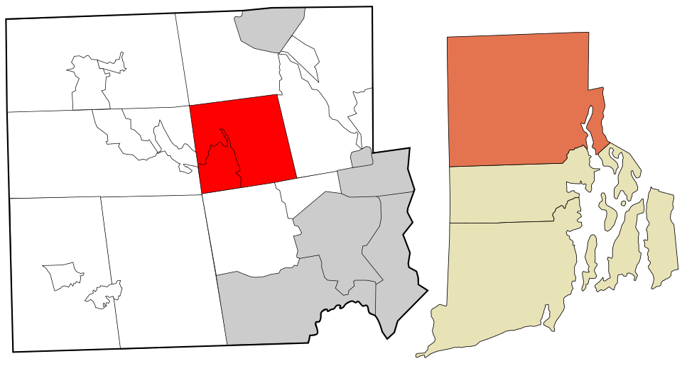
Map of Smithfield
Rhode Island · Most active

Where Smithfield lands: #19 of 38

22% of adults get no exercise (CDC estimate) · Visit Smithfield →
#TownGet no exerciseLikely rangePopulation
T1 Barrington BarringtonBristol County · 17,126 people 16% 13–19% 17,126
T1 Richmond RichmondWashington County · 8,142 people 16% 13–20% 8,142
T3 North Kingstown North KingstownWashington County · 27,859 people 17% 14–20% 27,859
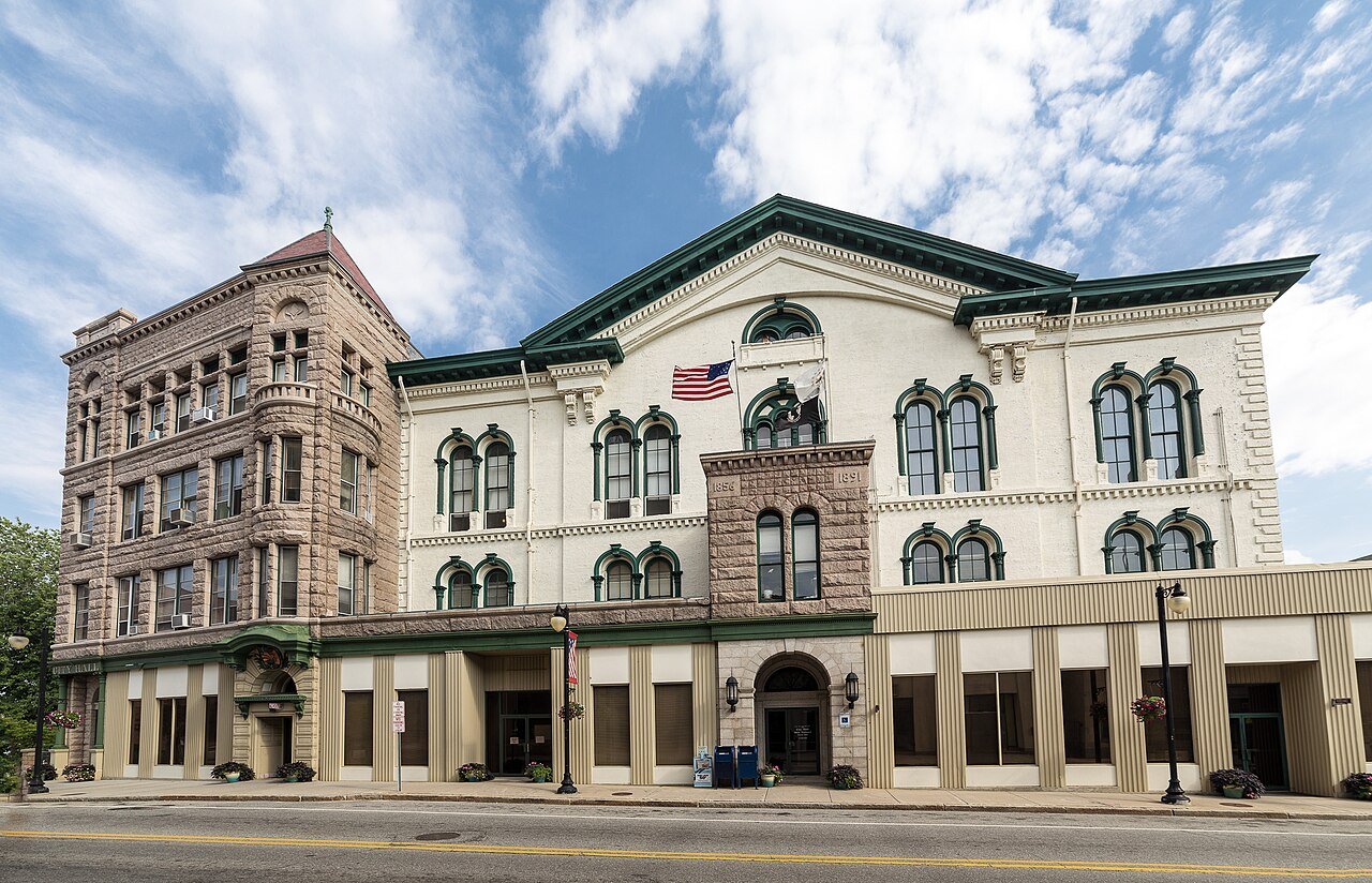
T3 Jamestown JamestownNewport County · 5,534 people 17% 13–21% 5,534
T3 South Kingstown South KingstownWashington County · 32,073 people 17% 14–20% 32,073
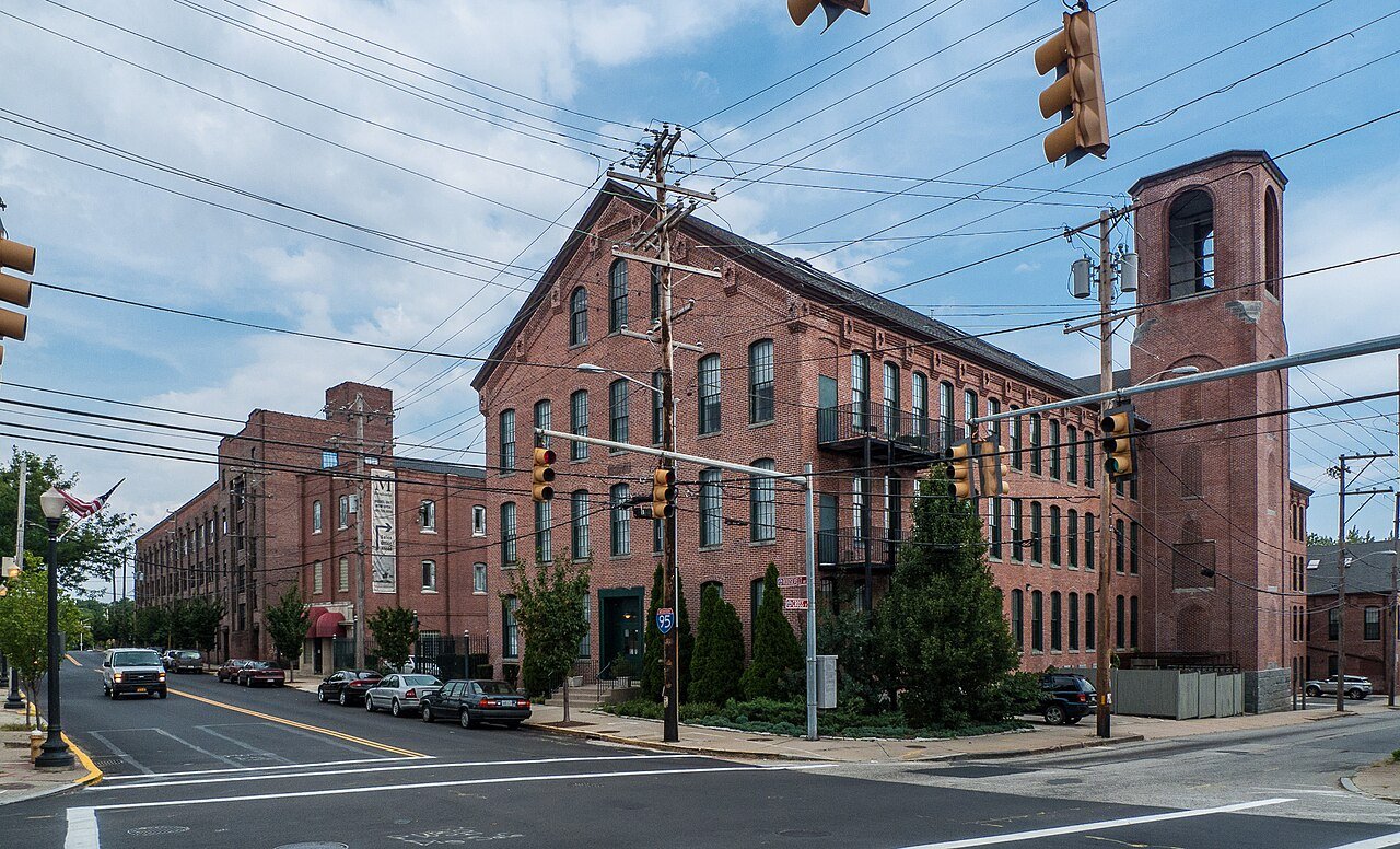
T6 Portsmouth PortsmouthNewport County · 17,644 people 18% 15–22% 17,644
T6 Little Compton Little ComptonNewport County · 3,584 people 18% 14–23% 3,584
T6 Narragansett NarragansettWashington County · 14,494 people 18% 15–22% 14,494
T9 East Greenwich East GreenwichKent County · 14,554 people 19% 16–22% 14,554
T9 Charlestown CharlestownWashington County · 8,051 people 19% 16–23% 8,051
T9 Bristol BristolBristol County · 22,220 people 19% 16–23% 22,220
T9 Hopkinton HopkintonWashington County · 8,420 people 19% 16–23% 8,420
T9 Exeter ExeterWashington County · 7,195 people 19% 15–24% 7,195
14 Westerly WesterlyWashington County · 23,333 people 20% 17–23% 23,333
T15 Newport Newport24,874 people 21% 18–24% 24,874
T15 Middletown MiddletownNewport County · 16,832 people 21% 18–25% 16,832
T15 West Greenwich West GreenwichKent County · 6,647 people 21% 17–25% 6,647
T15 Tiverton TivertonNewport County · 16,189 people 21% 18–25% 16,189
T19 Map of Smithfield SmithfieldProvidence County · 22,233 people 22% 19–26% 22,233
T19 Warren WarrenBristol County · 11,144 people 22% 18–26% 11,144
T19 Cumberland CumberlandProvidence County · 36,820 people 22% 19–25% 36,820
T19 Lincoln LincolnProvidence County · 22,864 people 22% 19–26% 22,864
T19 Map of Scituate ScituateProvidence County · 10,517 people 22% 19–26% 10,517
T24 Map of Glocester GlocesterProvidence County · 10,221 people 23% 19–26% 10,221
T24 North Smithfield North SmithfieldProvidence County · 12,708 people 23% 20–27% 12,708
T24 Foster FosterProvidence County · 4,523 people 23% 20–28% 4,523
T24 Coventry CoventryKent County · 35,907 people 23% 20–27% 35,907
T28 Warwick Warwick83,175 people 24% 21–27% 83,175
T28 Burrillville BurrillvilleProvidence County · 16,427 people 24% 21–28% 16,427
T30 Cranston Cranston83,250 people 26% 23–29% 83,250
T30 West Warwick West WarwickKent County · 31,173 people 26% 23–30% 31,173
T32 Johnston JohnstonProvidence County · 29,835 people 27% 23–30% 29,835
T32 East Providence East Providence47,281 people 27% 24–31% 47,281
34 North Providence North ProvidenceProvidence County · 34,293 people 28% 24–31% 34,293
35 Pawtucket Pawtucket75,893 people 31% 28–35% 75,893
36 Providence Providence191,767 people 32% 29–35% 191,767
37 Woonsocket Woonsocket43,521 people 34% 30–38% 43,521
38 Central Falls Central Falls22,701 people 44% 40–49% 22,701

How this ranking works

We rank every town by the share of adults who get no exercise outside of work, as estimated by the CDC. The lowest share ranks as the most active. The lowest share ranks #1. Across Rhode Island it’s 25%.

These are the CDC’s modeled estimates, not a count: national survey answers combined with each area’s age, sex, race and income mix. Each carries a likely range (shown in the table), so we rank on the whole percent and towns at the same figure share a rank (T = tied). Differences of a point or two are within the estimates’ margins.

Cities and villages use the CDC’s own estimate for that place. New England towns and townships, which the CDC doesn’t publish, use the ZIP codes that cover them, weighted by land area.

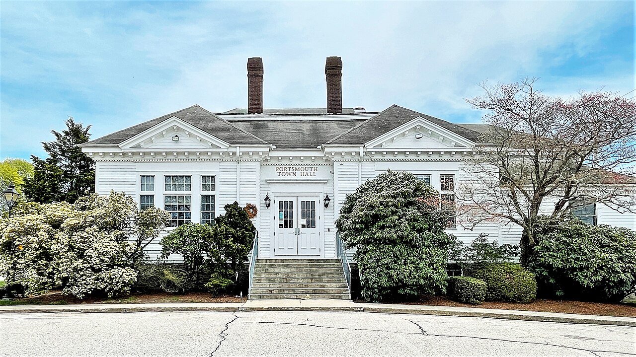
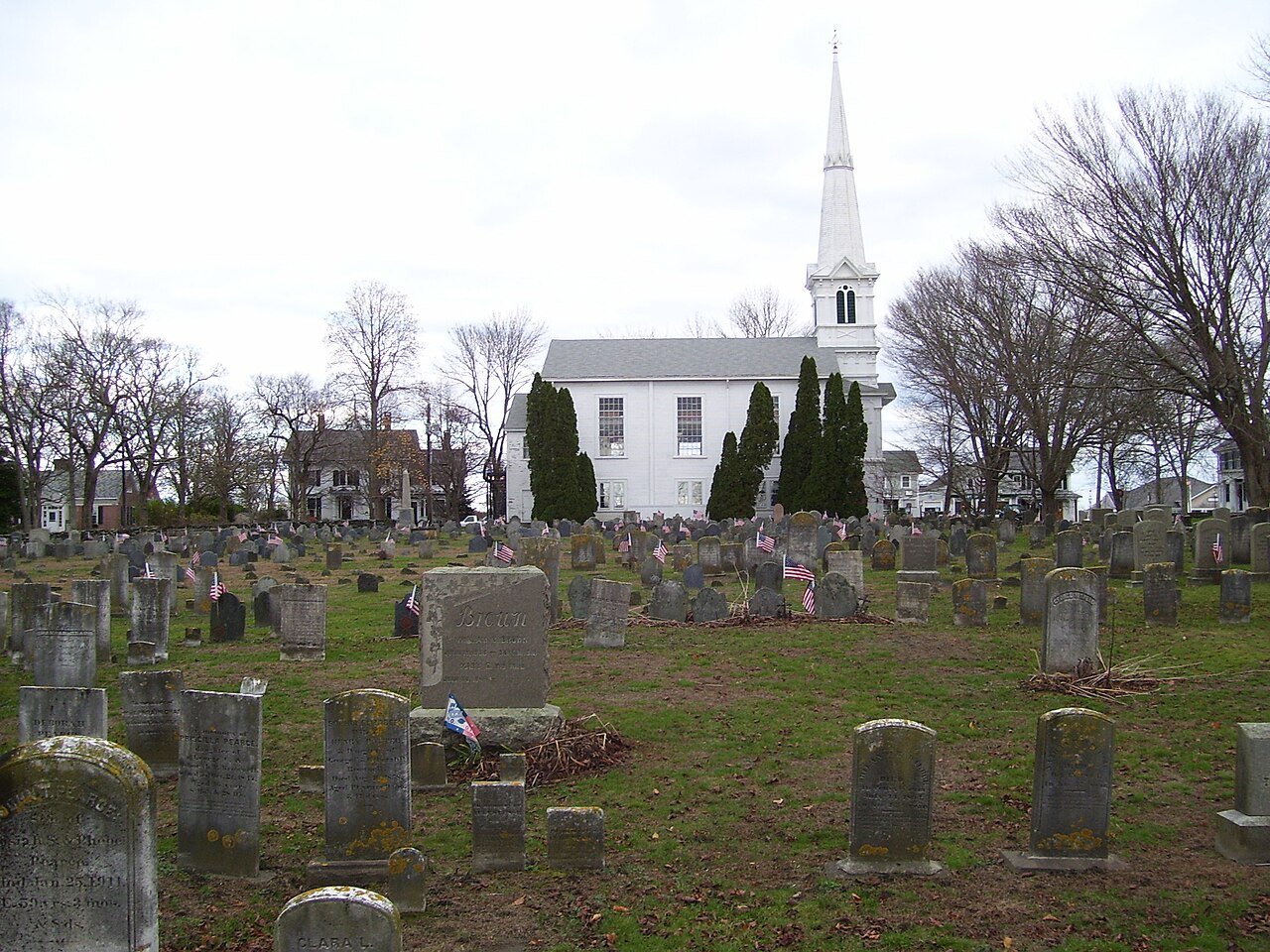
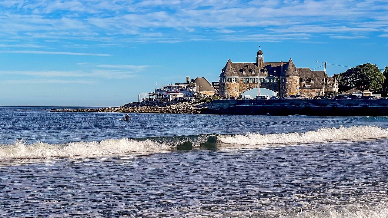
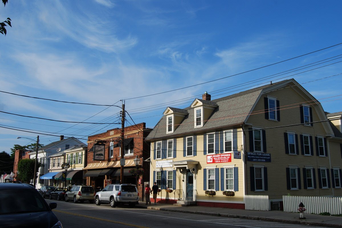
Only towns with at least 2,500 residents are ranked; Census estimates for smaller places are too uncertain. Population and income: U.S. Census Bureau American Community Survey 5-year estimates. Health estimates: CDC PLACES. Town photos: Wikimedia Commons, credited on each town’s page.

Same ranking in other states