
Kauffman Mill · National Register of Historic Places
Upper Bern’s story
Upper Bern in pictures
1 places on the National Register of Historic Places.
Explore the history →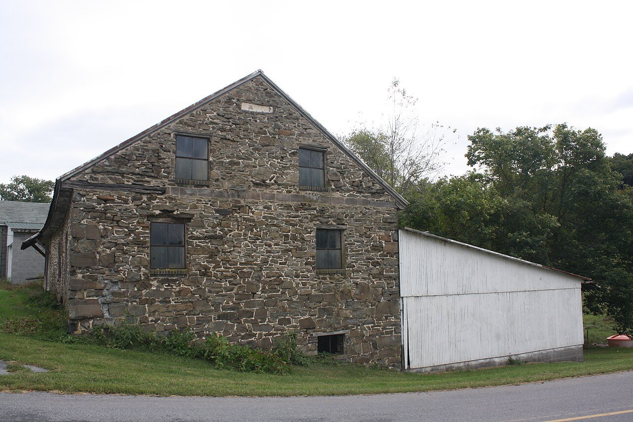
A town of 1,909. Nearly 50.1% of it is conserved land.
The 2 things Upper Bern does most differently from other towns.
Where Upper Bern’s working residents go each day. Line width shows the share.
Census LEHD 2023
Be the first to start the conversation.
Nothing on the calendar.
Ordered by what stands out in Upper Bern. Another town gets a different order.
8.8 miles of trails across 4 parks and preserves.
| Biggest places to walk | Trails | Acres |
|---|---|---|
| 1. State Game Lands Number 110 | 7.6 mi | 1,579 |
| 2. Jefferson Tract - Weiser State Forest | 0.4 mi | 422 |
| 3. Weiser State Forest | — | 422 |
Most working residents leave Upper Bern for work: only 1% work in town. The top destinations are Tilden (6%), Maxatawny (5%) and Hamburg (5%). Half commute less than 17 miles.
Expected storm and flood damage is higher than in 20% of U.S. communities.
Upper Bern has chilly winters and warm summers, with plenty of rain. A typical July afternoon reaches 85°, a January night drops to 21°, and about 21 inches of snow falls in a normal winter.
Upper Bern tracks Pennsylvania closely on all 5 CDC measures.
50.1% of the town is conserved land, across 4 parks and preserves.
1 places on the National Register of Historic Places.
Explore the history →Township in Pennsylvania, US
Upper Bern Township is a township in Berks County, Pennsylvania, United States. The population was 1,734 at the 2010 census.
From Wikipedia, licensed CC BY-SA 4.0 · facts via Wikidata (CC0)
5 towns share a border with Upper Bern.