Guest, Sign inJoin
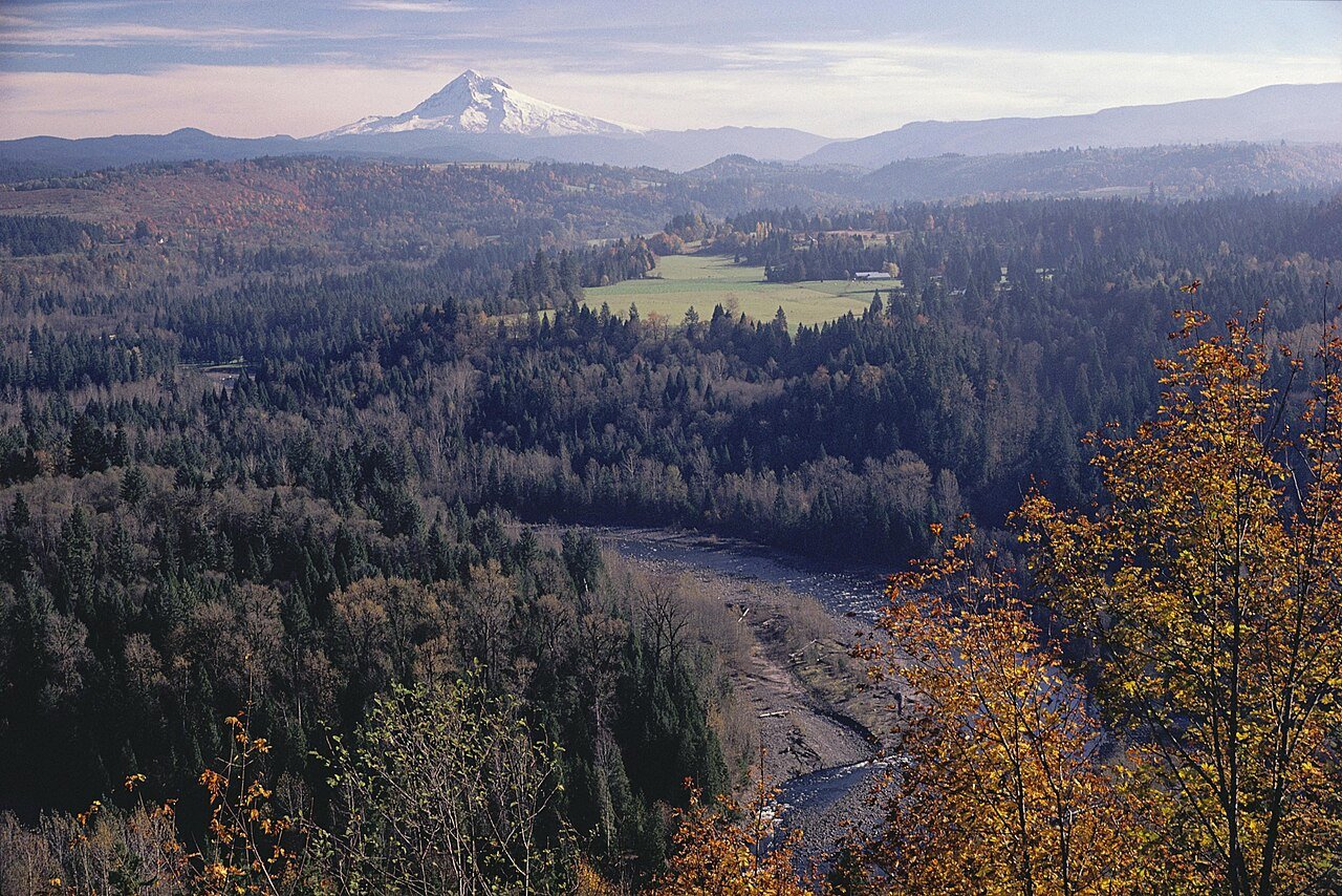
Jonsrud Viewpoint - 202C (8409092234)

SandyOR

A town of 12,854, settled in 1913. Nearly 14.4% of it is conserved land.

Photo: Mt. Hood Territory · CC BY 2.0
Population
12,854
+31.8% since 2010
Typical home
$520K
+0.1% in a year
Household income
$109K
median
Median age
34.8
years
Jobs based here
3,670
A commuter town

What makes Sandy stand out

The 3 things Sandy does most differently from other towns.

Picked automatically from the data
A growing town

Sandy has grown 31.8% since 2010

9,570 people in 2010; 12,854 today.

9,5702010
12,6122020
12,854Today

U.S. Census 2010 & 2020 · ACS

Sandy’s report card

See the data ↓

Now in Sandy

Be the first to start the conversation.

Be the first neighbor to joinJoin Sandy →
Residents weigh in
Sandy is #136 of 147 in OR for “Lowest depression”. Fair?
Your answer becomes a post in Sandy’s Town Square.
Start a conversation

The data

Ordered by what stands out in Sandy. Another town gets a different order.

Outdoors

14.4% of Sandy is conserved land

9.0 miles of trails across 11 parks and preserves.

#10for trails in OR
14.4%
conserved · 341 of 2,359 acres
9.0 mi
of trails · 2.4 per sq mi
#22
most conserved land in OR
#55
most walkable in OR
Biggest places to walkTrailsAcres
1. Sandy River Park1.9 mi110
2. Cedar Park0.5 mi9
3. Hamilton Ridge Park0.4 mi26
Trails & parks © OpenStreetMap contributors · Conserved land: USGS PAD-USParks & trails →
Housing

A typical Sandy home is worth about $520K

The typical Sandy home is worth about $520,000, about the same as a year ago, close to the Oregon typical home.

$520KZillow home value

Typical home value

Sandy$520K
Oregon$496K
Market temperature
Seller’s marketA seller's marketBuyer’sSeller’s
23
days on market
99.8%
sale-to-list price
+0.1%
value change, 1 year
13
homes sold in May
Zillow Home Value Index · Redfin Data CenterHousing market →
Schools

Sandy’s public schools outperform 75% of Oregon districts

The public schools Sandy’s kids attend, from kindergarten through graduation, outperform 75% of Oregon’s districts on state tests and graduation. Among towns with similar incomes, they rank near the top.

A−School Grade
SchoolGradesStudentsGrade
Sandy Grade SchoolK–5327Not graded
Cedar Ridge Middle School6–8471Not graded
Sandy High School9–121,420Not graded
NCES · EDFacts · graded within OR on state tests and graduationAll 3 schools →
Health

Healthier than 70% of U.S. towns

Sandy beats the Oregon average on 10 of 26 CDC measures and trails it on 2.

B+Health Grade
26 measures vs. Oregon
10 better14 too close to call2 worse
What stands outSandyOR
Fewer adults with heart disease4.8%6.5%
Fewer adults with diabetes8.6%11.2%
More adults with depression30.8%27.1%
Legacy Mount Hood Medical Center
10.7 mi away · emergency room
None
primary care, dental or mental-health shortage
77th
percentile among OR towns
CDC PLACES 2025 · modeled estimates for adults · CMS · HRSAFull health report →
Work & commute

About one in nine working residents works right in Sandy

Most working residents leave Sandy for work: only 11% work in town. The top destinations are Portland (27%), Gresham (10%) and Salem (3%). Half commute less than 17 miles.

11%work in town

Where working residents work

In Sandy11%
Portland27%
Gresham10%
Salem3%
Troutdale2%
17 mi
median commute distance
3,670
jobs based in Sandy
A commuter town
jobs vs. working residents
Census LEHD 2023 · ACSCommute map →
Climate

Mild winters, pleasant summers

Sandy has mild winters and pleasant summers, with plenty of rain. A typical July afternoon reaches 80°, a January night drops to 35°, and about 2 inches of snow falls in a normal winter.

2″snow a winter

Typical low → high °F

Winter35–46°
Spring41–60°
Summer53–77°
Fall44–63°
Nov 18
typical first frost
Mar 27
typical last frost
+1.4°
vs. the 20th-century average
NOAA U.S. Climate Normals, 1991–2020Full climate →
Safety

Less crime per resident than 58% of U.S. towns

Sandy reports less crime per resident than 58% of the U.S. towns and cities we grade.

BSafety Grade

Violent crime per 1,000 residents

Sandy1.1
Oregon3.2
U.S.3.3

Property crime per 1,000 residents

Sandy12.3
Oregon21.8
U.S.15.5
58th
percentile among U.S. towns we grade
81st
percentile among OR towns
15
violent crimes reported in 2025
161
property crimes reported in 2025
FBI crime data, 2025 · crimes reported to policeFull safety report →
Natural hazards

Moderate risk, with avalanches at the top

Expected storm and flood damage is higher than in 43% of U.S. communities.

43risk score of 100
FEMA risk score
43Moderate riskLowerHigher
AvalanchesInland floodingEarthquakes
1
paid flood claims since 1979
3
federal disasters paid out here
FEMA National Risk Index · OpenFEMANatural hazards →
Get outside

9 miles of trails in Sandy

14.4% of the town is conserved land, across 11 parks and preserves.

Map of trails and conserved land in SandyConservedTrails
1
Sandy River Park1.9 mi of trails · 110 acres
2
Cedar Park0.5 mi of trails · 9 acres
Directions
3
Hamilton Ridge Park0.4 mi of trails · 26 acres
Trails © OpenStreetMap contributors · USGS PAD-US
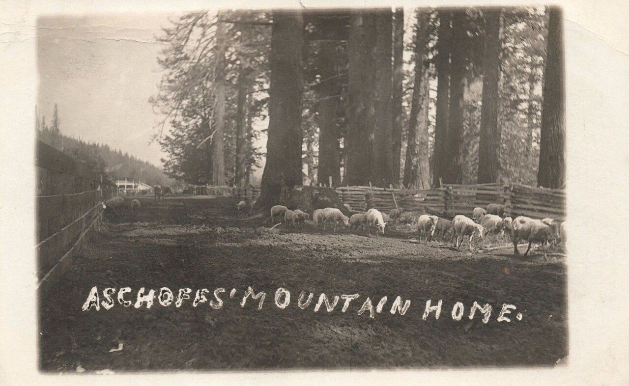
Adolph Aschoff Mountain Home (Sandy, Oregon) 1908
1908 · Adolph Aschoff Mountain Home (Sandy, Oregon) 1908 · Wikimedia Commons
Sandy’s story

113 years in pictures

8 postcards, papers and photographs from public archives, and 1 places on the National Register.

ORMap-doton-SandyDodge ParkFront garden path
Explore the history →

About Sandy

City in Oregon, United States

Official town website ↗

Sandy is a city located in Clackamas County, Oregon, United States, settled c. 1853 and named after the nearby Sandy River. Located in the foothills of the Cascade Mountain Range, the city serves as the western gateway to the Mount Hood Corridor, and is located approximately 27 miles (43 km) east of Portland. The city of Sandy was originally settled by travelers passing along Barlow Road, one of the final sections of the Oregon Trail, and initially known as Revenue, after settlers Francis and Lydia Revenue. The city subsequently took the name Sandy after the Sandy River, named by Meriwether Lewis and William Clark in 1805; the river and previously been named the Barings River, after Sir Fra…
From Wikipedia, licensed CC BY-SA 4.0 · facts via Wikidata (CC0)

Established
1913
Population
12,612
Area
3.4 sq mi
Elevation
1,001 ft
ZIP code
97055
Area code
503, 971

More about Sandy

Still missing for Sandy:upcoming events

Post to Sandy

We’ll email a one-tap link to publish your post. No password, and nothing is public until you click it.
Already a member? Sign in
Photo of Sandy

Sandy, OR · Photo: Mt. Hood Territory · CC BY 2.0 · Source ↗