Kings ValleyOR
A town of 17.
17 people, and everyone knows the way
In a town this size, neighbors are the best guide. Ask them anything.
Kings Valley’s report card
Now in Kings Valley
Be the first to start the conversation.
The data
Ordered by what stands out in Kings Valley. Another town gets a different order.
High risk, with inland flooding at the top
Expected storm and flood damage is higher than in 72% of U.S. communities.
Mild winters, pleasant summers
Kings Valley has mild winters and pleasant summers, with plenty of rain. A typical July afternoon reaches 82°, a January night drops to 35°, and about 3 inches of snow falls in a normal winter.
Typical low → high °F
How healthy Kings Valley is
Kings Valley beats the Oregon average on 4 of 26 CDC measures and trails it on 0.
| What stands out | Kings Valley | OR |
|---|---|---|
| Fewer adults with diabetes | 9.7% | 11.2% |
| Fewer adults with high blood pressure | 28.9% | 32.7% |
About Kings Valley
Unincorporated community in the state of Oregon, United States
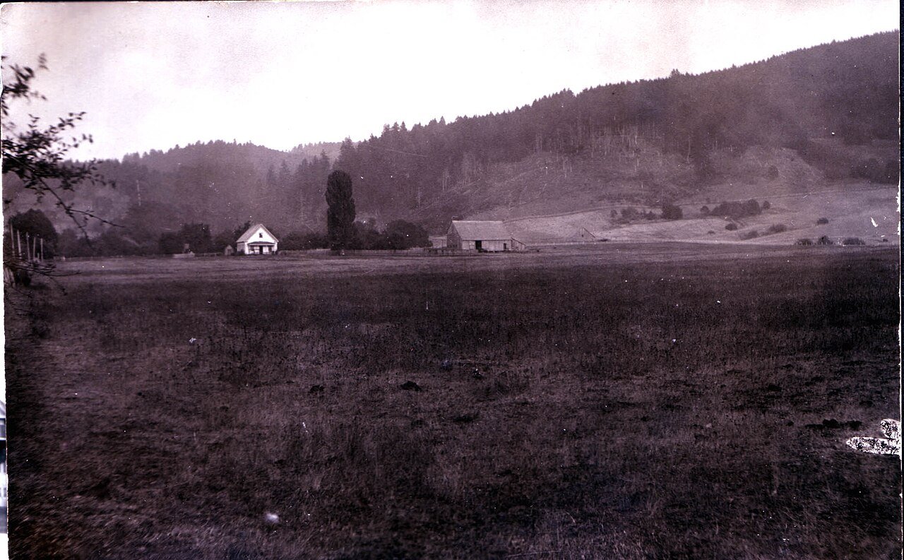
Kings Valley is an unincorporated community and census-designated place in Benton County, Oregon, United States. It is located on the Luckiamute River and Oregon Route 223, the Kings Valley Highway. As of the 2023 census population estimates it had a population of 147. Kings Valley was named after its first settler, Nahum King, who took out a land claim there in 1846. A flour mill was built in the community in 1853. Kings Valley post office ran from 1855 to 1974. Fort Hoskins Historic Park is nearby, in the former community of Hoskins. The Valley and Siletz Railroad formerly ran through Kings Valley. The K-12 Kings Valley Charter School is located in Kings Valley. The Shrewsbury Renaissance…
From Wikipedia, licensed CC BY-SA 4.0 · facts via Wikidata (CC0)
- Population
- 56
- Area
- 0.7 sq mi
- Elevation
- 315 ft
- Area code
- 541