Sign inJoin
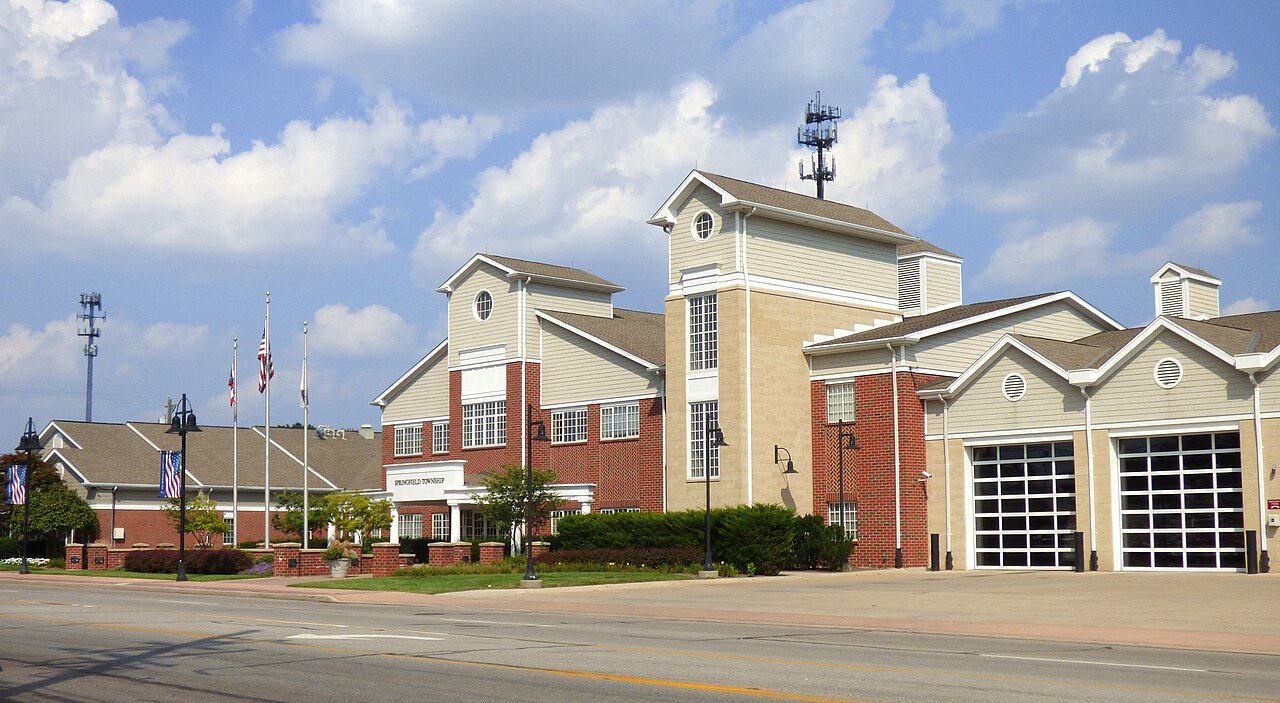
Springfield Township Ohio Municipal Building
Ohio›Hamilton County

SpringfieldOH

A town of 35,635, settled in 1795. Nearly 6.4% of it is conserved land.

10 bordering townsMap →
Photo: Greg Hume · CC BY-SA 4.0
Population
35,635
−1.3% since 2010
Median home value
$209K
Census ACS
Household income
$74K
median
Median age
42.6
years
Jobs based here
9,698
A commuter town

What makes Springfield stand out

The 3 things Springfield does most differently from other towns.

Picked automatically from the data
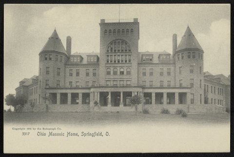
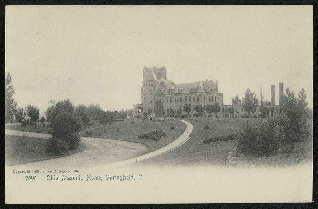
Ohio Masonic Home
1905 · Ohio Masonic Home · Library of Congress
Springfield’s story

231 years in pictures

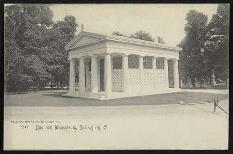
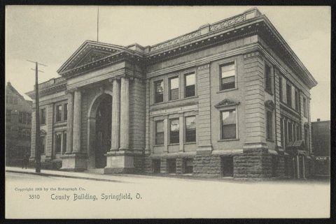
6 postcards, papers and photographs from public archives, and 4 places on the National Register.

Ohio Masonic HomeBushnell MausoleumCounty Building
Explore the history →
Get outside

27 miles of trails in Springfield

6.4% of the town is conserved land, across 12 parks and preserves.

Map of trails and conserved land in SpringfieldConservedTrails
1
Winton Woods14.7 mi of trails · 1,722 acres
Directions
2
Warder Park0.6 mi of trails · 50 acres
Directions
3
Stephanie Hummer Memorial Park0.1 mi of trails · 10 acres
Directions
Trails © OpenStreetMap contributors · USGS PAD-US

Springfield’s report card

See the data ↓

Now in Springfield

Be the first to start the conversation.

Be the first neighbor to joinJoin Springfield →
Residents weigh in
Springfield is #28 of 722 in OH for “Most trails”. Fair?
Your answer becomes a post in Springfield’s Town Square.
Start a conversation

The data

Ordered by what stands out in Springfield. Another town gets a different order.

Outdoors

6.4% of Springfield is conserved land

27 miles of trails across 12 parks and preserves.

#28for trails in OH
6.4%
conserved · 682 of 10,580 acres
27 mi
of trails · 1.7 per sq mi
#273
most conserved land in OH
#369
most walkable in OH
Biggest places to walkTrailsAcres
1. Winton Woods14.7 mi1,722
2. Warder Park0.6 mi50
3. Stephanie Hummer Memorial Park0.1 mi10
Trails & parks © OpenStreetMap contributors · Conserved land: USGS PAD-USParks & trails →
Health

Healthier than 30% of U.S. towns

Springfield beats the Ohio average on 2 of 32 CDC measures and trails it on 9.

CHealth Grade
32 measures vs. Ohio
2 better21 too close to call9 worse
What stands outSpringfieldOH
Fewer adults who have had cancer7.8%8.7%
More adults treating high blood pressure81.5%79.2%
More adults facing a utility shut-off12.2%8.3%
Mercy Health - Fairfield Hospital
4.6 mi away · emergency room
3 of 3
care shortages: primary care, dental, mental health
47th
percentile among OH towns
CDC PLACES 2025 · modeled estimates for adults · CMS · HRSAFull health report →
Work & commute

Most working residents commute out of Springfield

Most working residents leave Springfield for work: only 3% work in town. The top destinations are Cincinnati (27%), West Chester (5%) and Blue Ash (4%). Half commute less than 8 miles.

3%work in town

Where working residents work

In Springfield3%
Cincinnati27%
West Chester5%
Blue Ash4%
Fairfield4%
8 mi
median commute distance
9,698
jobs based in Springfield
A commuter town
jobs vs. working residents
Census LEHD 2023 · ACSCommute map →
Natural hazards

Low risk, with inland flooding at the top

Expected storm and flood damage is higher than in 22% of U.S. communities.

22risk score of 100
FEMA risk score
22Low riskLowerHigher
Inland floodingTornadoesHeat waves
41
paid flood claims since 1979
FEMA National Risk Index · OpenFEMANatural hazards →
Schools

Springfield’s public schools outperform 29% of Ohio districts

The public schools Springfield’s kids attend, from kindergarten through graduation, trail 71% of Ohio’s districts on state tests and graduation. Among towns with similar incomes, they rank near the bottom.

CSchool Grade
SchoolGradesStudentsGrade
Finneytown ElementaryK–6648Not graded
Mt. Healthy North Elementary School1–6549C−
John Paul II Catholic School PrivatePK–8434
St. Vivian School PrivatePK–8236
Central Montessori Academy PrivatePK–6106
Central Baptist Academy PrivateK–8104
NCES · EDFacts · graded within OH on state tests and graduationAll 7 schools →
Climate

Four seasons, pleasant summers

Springfield has chilly winters and warm summers. A typical July afternoon reaches 86°, a January night drops to 23°, and about 16 inches of snow falls in a normal winter.

16″snow a winter

Typical low → high °F

Winter25–41°
Spring43–64°
Summer63–85°
Fall45–66°
Oct 26
typical first frost
Apr 17
typical last frost
+1.2°
vs. the 20th-century average
NOAA U.S. Climate Normals, 1991–2020Full climate →
College town

Cincinnati College of Mortuary Science calls Springfield home

College Scorecard · IPEDS

Landmarks

4 places in Springfield on the National Register of Historic Places.

All landmarks →

About Springfield

Township in Ohio, US

Springfield Township is one of the twelve townships of Hamilton County, Ohio, United States. The population was 35,862 as of the 2020 census. Springfield Township is home to the largest private school in Ohio (St. Xavier High School), the largest lake in Hamilton County (at Winton Woods County Park), and the Cincinnati area's annual Greek Festival (at Holy Trinity-St. Nicholas Greek Orthodox Church).

From Wikipedia, licensed CC BY-SA 4.0 · facts via Wikidata (CC0)

Established
1795
Population
35,862
Area
17 sq mi
Elevation
715 ft

Springfield’s neighbors

10 towns share a border with Springfield.

Explore the map →

More about Springfield

Still missing for Springfield:upcoming events

Post to Springfield

We’ll email a one-tap link to publish your post. No password, and nothing is public until you click it.
Already a member? Sign in
Photo of Springfield

Springfield, OH · Photo: Greg Hume · CC BY-SA 4.0 · Source ↗