Population
12,555
−10.2% since 2010
Median home value
$101K
Census ACS
Household income
$51K
median
Jobs based here
3,682
A commuter town
What makes Pease stand out The 2 things Pease does most differently from other towns.
A shrinking town Pease has shrunk 10.2% since 2010 14,309 people in 2010; 12,555 today.
What’s changed most in Pease? 14,309 2010
12,849 2020
12,555 Today
U.S. Census 2010 & 2020 · ACS
Residents weigh in
Pease is #992 of 1,017 in OH for “Fastest growing”. Fair?
Agree Disagree
Your answer becomes a post in Pease’s Town Square. Ask me another →
Share something about Pease… Post Start a conversation
How does Pease prepare for bad weather? → How do you get to work from Pease? → What’s a piece of Pease history most people don’t know? → New to Pease? Ask neighbors anything →
Upcoming events
Nothing on the calendar. Add an event
The data Ordered by what stands out in Pease. Another town gets a different order.
Health
Healthier than 8% of U.S. towns Pease beats the Ohio average on 0 of 32 CDC measures and trails it on 16.
D Health Grade
32 measures vs. Ohio
What stands out Pease OH More adults with COPD 11% 8% More older adults who have lost all their teeth 20.3% 15.3% More smokers 20% 15.4%
Wheeling Hospital
4.6 mi away · emergency room
3 of 3
care shortages: primary care, dental, mental health
10th
percentile among OH towns
Natural hazards
Very high risk, with inland flooding at the top Expected storm and flood damage is higher than in 93% of U.S. communities.
93 risk score of 100
FEMA risk score
93 Very high risk Lower Higher Inland flooding
148
paid flood claims since 1978
7
federal disasters paid out here
Outdoors
0.1% of Pease is conserved land 2.3 miles of trails across 2 parks and preserves.
0.1% conserved
Green: conserved land · dashed: trails · numbers: the places below 0.1%
conserved · 26 of 18,248 acres
2.3 mi
of trails · 0.1 per sq mi
Biggest places to walk Trails Acres 1. Fodor Memorial Park — 6 2. Gould Park — 3
Work & commute
About one in seven working residents works right in Pease Most working residents leave Pease for work: only 15% work in town. The top destinations are Wheeling (21%), Martins Ferry (10%) and Richland (7%). Half commute less than 8 miles.
15% work in town
Where working residents work In Pease 15%
Wheeling 21%
Martins Ferry 10%
Richland 7%
St. Clairsville 4%
8 mi
median commute distance
A commuter town
jobs vs. working residents
Climate
Four seasons, pleasant summers Pease has chilly winters and pleasant summers. A typical July afternoon reaches 83°, a January night drops to 21°, and about 15 inches of snow falls in a normal winter.
15″ snow a winter
Typical low → high °F Winter 24–40°
Spring 40–62°
Summer 60–82°
Fall 44–64°
+1.2°
vs. the 20th-century average
Schools
Pease’s public schools outperform 51% of Ohio districts The public schools Pease’s kids attend, from kindergarten through graduation, outperform 51% of Ohio’s districts on state tests and graduation. Among towns with similar incomes, they sit near the middle.
B− School Grade
A commuter town 85% of working residents leave Pease for work Where Pease’s working residents go each day. Line width shows the share.
21% → Wheeling Wheeling 21%
10% → Martins Ferry Martins Ferry 10%
7% → Richland Richland 7%
4% → St. Clairsville St. Clairsville 4%
2% → Steubenville Steubenville 2%
2% → Bellaire Bellaire 2%
Pease · 15% stay
3,682 jobs based in Pease
15% of working residents work in town
8 mi median commute distance
How do you get to work from Pease?
Census LEHD 2023
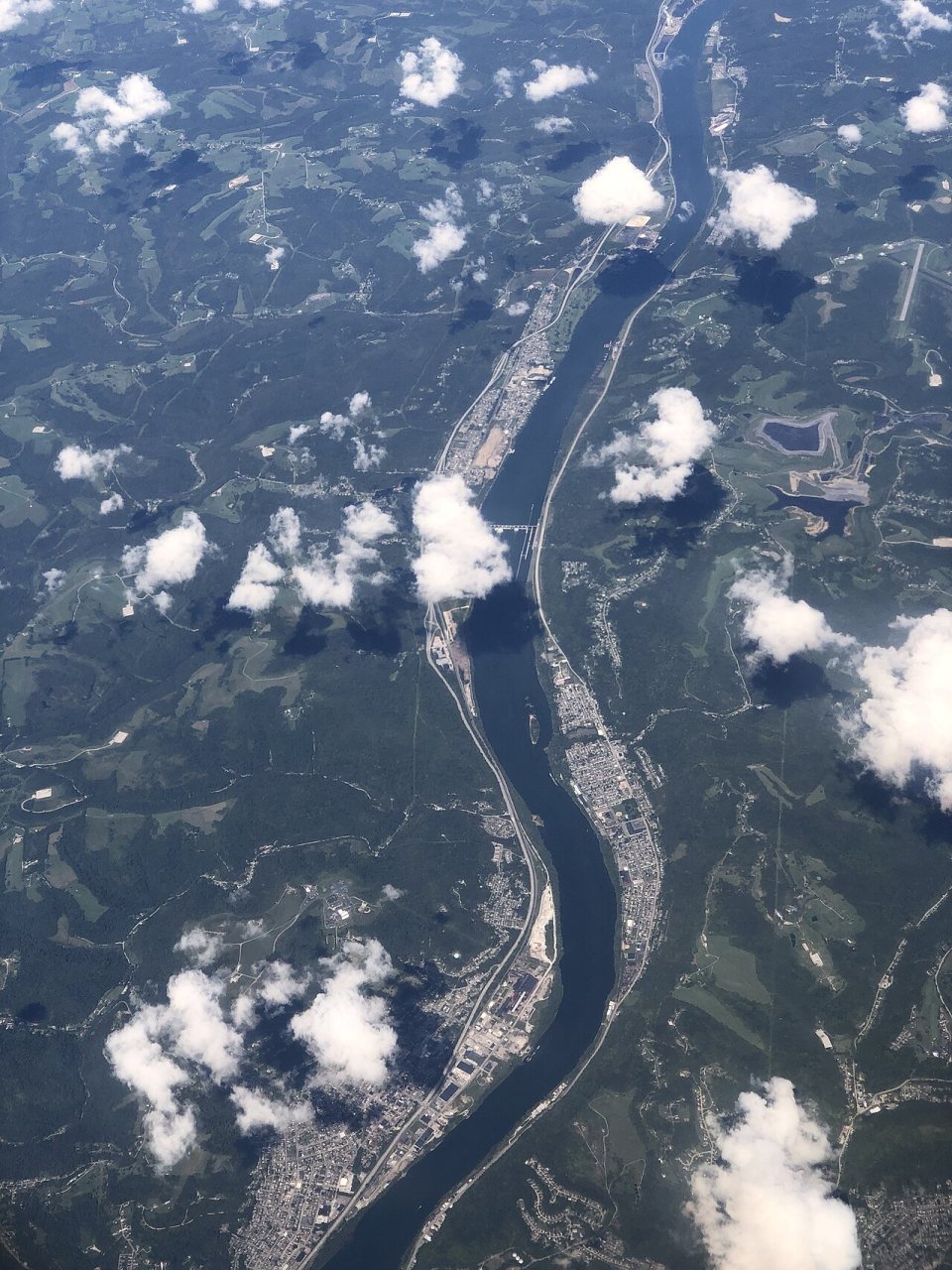
2022 · 2022-09-09 17 57 03 UTC minus 4 Aerial view of the Ohio River along the Ohio and West Virginia border, centered on the … · Wikimedia Commons
Pease’s story
Pease in pictures
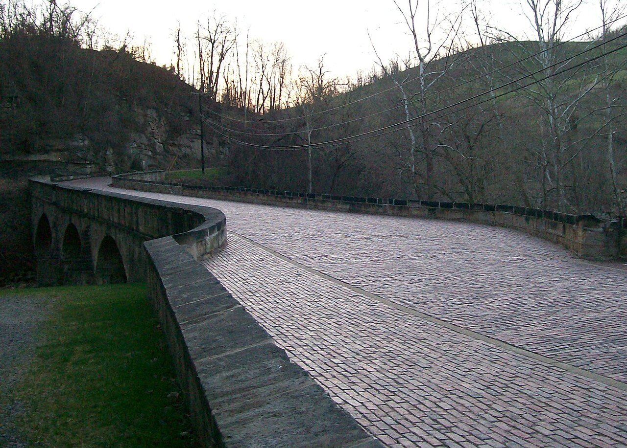
3 postcards, papers and photographs from public archives, and 1 places on the National Register.
Explore the history →
About Pease Township in Ohio, US
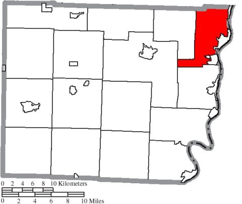
Pease Township is one of sixteen townships of Belmont County, Ohio, United States. The 2020 census counted 12,849 people living in the township.
From Wikipedia , licensed CC BY-SA 4.0 · facts via Wikidata (CC0)
Population 12,849
Area 29 sq mi
Elevation 1,286 ft Copyright © 2026 TownTapestry · Stitching communities together · In loving memory of John Cullinane whose interest in maps and discovering new places was contagious. Share TownTapestry to support usBrowse by state · Privacy · Terms