Napeague in pictures
6 postcards, papers and photographs from public archives.
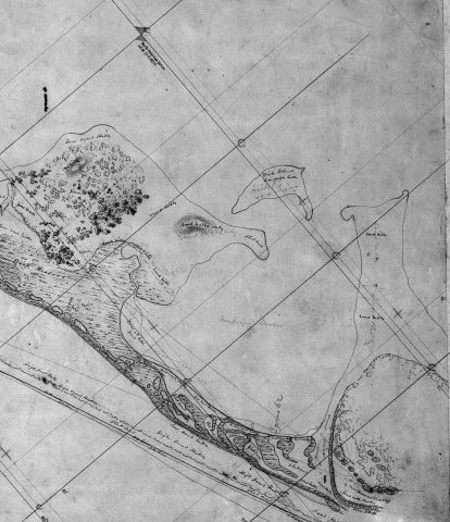
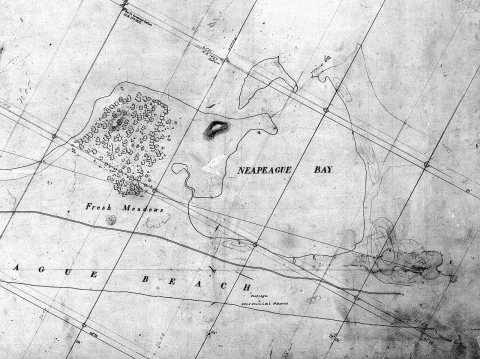
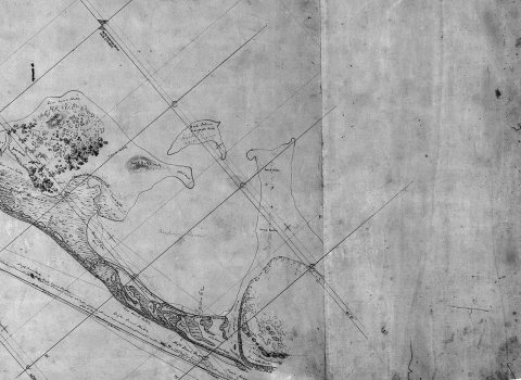
- 1834Hicks Island, Napeague Harbor -b
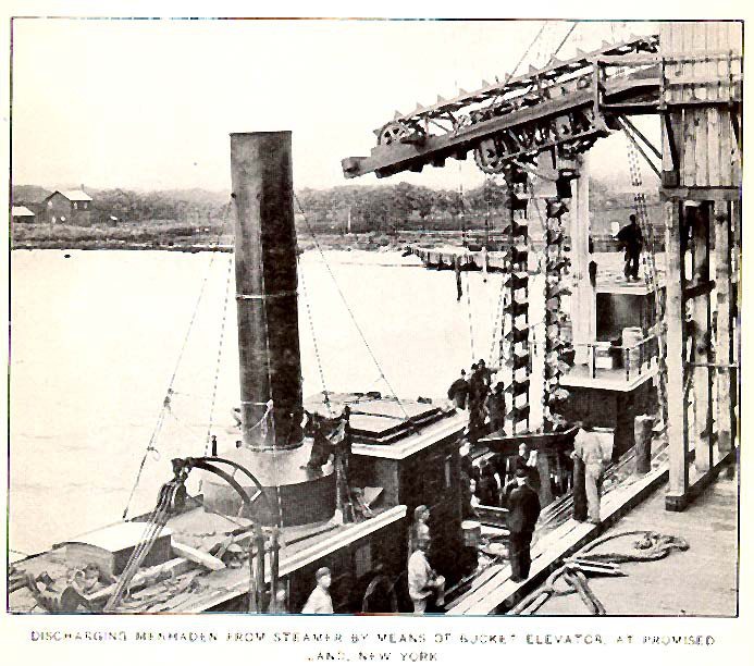
- 1902FMIB 32580 Discharging Menhaden from Steamer by Means of Bu…
A town of 70. Nearly 28.4% of it is conserved land.
The thing Napeague does most differently from other towns.
In a town this size, neighbors are the best guide. Ask them anything.
Be the first to start the conversation.
Ordered by what stands out in Napeague. Another town gets a different order.
9.4 miles of trails across 2 parks and preserves.
| Biggest places to walk | Trails | Acres |
|---|---|---|
| 1. Napeague State Park | 7.7 mi | 1,332 |
| 2. Napeague Harbor Tidal Wetlands Area | 0.2 mi | 51 |
Most working residents leave Napeague for work: only 0% work in town. The top destinations are East Hampton (24%), New York (23%) and Southampton (6%). Half commute less than 65 miles.
Expected storm and flood damage is higher than in 29% of U.S. communities.
Napeague has chilly winters and pleasant summers. A typical July afternoon reaches 80°, a January night drops to 24°, and about 27 inches of snow falls in a normal winter.
Napeague beats the New York average on 20 of 32 CDC measures and trails it on 4.
| What stands out | Napeague | NY |
|---|---|---|
| Fewer adults facing food insecurity | 6.7% | 17.2% |
| Fewer adults facing housing insecurity | 6.3% | 14.5% |
| More adults who have had cancer | 12.5% | 7.7% |
Where Napeague’s working residents go each day. Line width shows the share.
Census LEHD 2023
6 postcards, papers and photographs from public archives.
Hamlet and census-designated place in New York, United States
Napeague (, NAP-eeg) is a census-designated place (CDP) that roughly corresponds to the hamlet with the same name in the Town of East Hampton in Suffolk County, New York, United States. As of the 2020 census, Napeague had a population of 368. Napeague is located on a very narrow, low-lying strip between the Atlantic Ocean to the south and Gardiners Bay to the north that was flooded in the Great Hurricane of 1938. It lies between Napeague State Park on the west and Hither Hills State Park on the east. Napeague derives its name from the Montaukett name for "land overflowed by the sea".
From Wikipedia, licensed CC BY-SA 4.0 · facts via Wikidata (CC0)