Town guide
Hatch
A village of 1,588 people in New Mexico

From your neighbors
What’s happening
Weather
Forecast →Coming up
Upcoming events
Nothing on the calendar yet
Add an event →Put the next local happening — a market, a meeting, a concert — on the map.
Around town
All news →Local news
Headlines via Google News · Articles belong to their publishers.
The Hatch album
0 of 12 shotsNeighbors document Hatch together
About Hatch
Village in New Mexico, United States1,539Population
3.2 sq miArea
4,058 ftElevation
Hatch is a village in Doña Ana County, New Mexico, United States. As of the 2020 census, Hatch had a population of 1,539. The town is experiencing moderate growth, along with its outliers of Salem, Arrey, Derry, and Rincon. Hatch is widely known as the "best chile place in the World," for growing a wide variety of peppers, especially the New Mexican cuisine staple, and one of New Mexico's state vegetables, the New Mexico chile.
From Wikipedia, licensed CC BY-SA 4.0 · facts via Wikidata (CC0)
Town numbers
ZIP code87937
Area codeSign in to add
Schools in Hatch
In the guide →DistrictHATCH VALLEYSchools4
RIO GRANDE ELEMENTARYElementary · Grades 3–5 · 240 students
HATCH VALLEY ELEMENTARYElementary · Grades PK–2 · 190 students
HATCH VALLEY MIDDLEMiddle · Grades 6–8 · 253 students
HATCH VALLEY HIGHHigh · Grades 9–12 · 367 students
School data from the U.S. Department of Education (NCES). Ratings are from neighbors.
Where Hatch is
Explore map →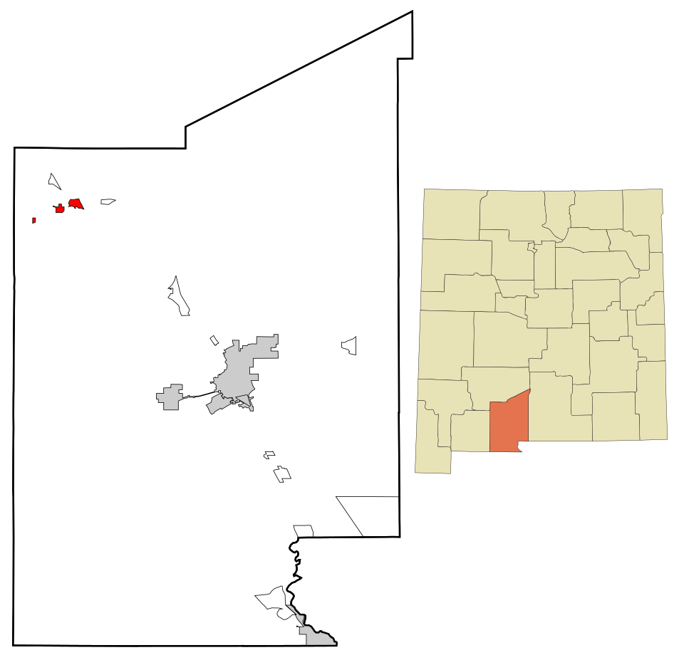

Location map
New Mexico · NMTown boundary on OpenStreetMap →
Around town
Explore map →Bordering towns
How things work in Hatch
All explainers →No one has written Hatch’s explainers yetKnow how one of these works here? Each explainer earns +10 karma.