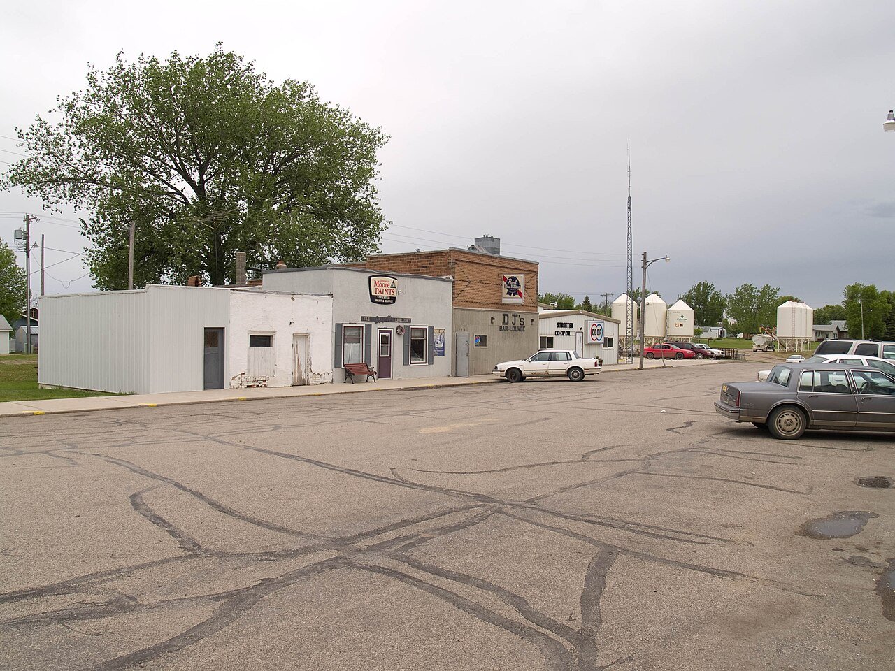
StreeterND
A town of 98, settled in 1893.
98 people, and everyone knows the way
In a town this size, neighbors are the best guide. Ask them anything.
Streeter’s report card
Now in Streeter
Be the first to start the conversation.
The data
Ordered by what stands out in Streeter. Another town gets a different order.
Most working residents commute out of Streeter
Most working residents leave Streeter for work: only 2% work in town. The top destinations are Jamestown (44%), Napoleon (6%) and Fargo (6%). Half commute less than 35 miles.
Where working residents work
Snowy winters, pleasant summers
Streeter has cold, snowy winters and pleasant summers, with very little rain. A typical July afternoon reaches 81°, a January night drops to 1°, and about 49 inches of snow falls in a normal winter.
Typical low → high °F
Low risk, with cold waves at the top
Expected storm and flood damage is higher than in 34% of U.S. communities.
How healthy Streeter is
Streeter beats the North Dakota average on 6 of 32 CDC measures and trails it on 9.
| What stands out | Streeter | ND |
|---|---|---|
| Fewer older adults who have lost all their teeth | 8.4% | 10.8% |
| Fewer binge drinkers | 17.3% | 21.3% |
| More adults with heart disease | 9.5% | 6.1% |
2.5% of Streeter is conserved land
0.3 miles of trails across 1 parks and preserves.
| Biggest places to walk | Trails | Acres |
|---|---|---|
| 1. Stokes Memorial Park | 0.1 mi | 8 |
Homes in Streeter sell for about $55K
The median sale price was $55,000 in March 2026.
98% of working residents leave Streeter for work
Where Streeter’s working residents go each day. Line width shows the share.
Census LEHD 2023
About Streeter
City in North Dakota, United States
Streeter is a city in Stutsman County, North Dakota, United States. The population was 149 at the 2020 census. Founded in 1905, Streeter celebrated its centennial in July 2005 with a weekend festival. The city is at one end of what is considered the straightest road in America, with the other end being Hickson. The road consists of Highway 30 in the west to Highway 46 in the east.
From Wikipedia, licensed CC BY-SA 4.0 · facts via Wikidata (CC0)
- Established
- 1893
- Population
- 149
- Area
- 0.4 sq mi
- Elevation
- 1,923 ft
- ZIP code
- 58483
- Area code
- 701